![[Translate to English:]](/fileadmin/Der_SAC/Unserer_Partner/CSS_cyan_rgb.svg)
Aiguille d'Argentière 3898 m Route archive
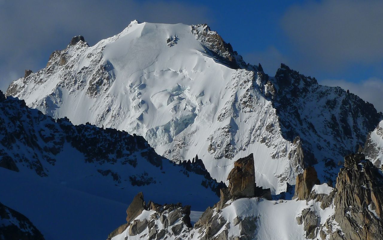
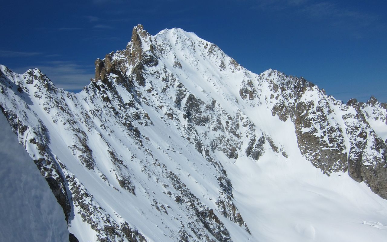
The Aiguille d'Argentière is an impressive, shapely mountain - its form unmistakeable beside its neighbour, the alluring Aiguille du Chardonnet. (Falling just shy of 4000 m, both of these magnificent peaks receive less attention than they deserve). Separating the pair is the deep Col du Chardonnet.
The Aiguille d'Argentière especially is a very complex mountain. In addition to the main summit (3901 m), it also has a NW Summit (3878 m), the Pointe Sud (3841 m) and the Flèche Rousse (3879 m). Various auxiliaries branch off from the main ridge and give the mountain its stately size.
In the ENE flank is a striking, very steep couloir called Couloir Barbey. The S-flank is rocky except for the characteristic Y-couloir. The Aiguille d'Argentière is surrounded by a grand glacier landscape, most notable is the Glacier d'Argentière with its three tributaries (Chardonnet, Milieu, Améthystes) on the French side, and the Glacier de Saleina on the Swiss side. All these ridges, flanks and couloirs offer the mountaineer a wealth of varied ascents with varying difficulties. Therefore, it should not be surprising that the outstanding alpinists of their time were drawn to this unique mountain.
One more thing: the name. "Argentière" is derived from the Indo-European "arg"/ Latin "argenteus"/ Gallic "arganto". These terms mean "silver-colored, or like silver flashing" and refer to the glistening glacier flanks of the mountain.
FA: A. Adams Reilly, Edward Whymper with Henry Charlet, Michel Croz and Michel Payot, July 15, 1864 (W flank and NW ridge).