![[Translate to English:]](/fileadmin/Der_SAC/Unserer_Partner/CSS_cyan_rgb.svg)
From the Täschhütte via the Südost-Ridge (Eisnase) Alphubel 4206 m
-
- Difficulty
- PD, I
-
- Ascent
- 4–5 h, 1505 m
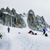
This interesting route is very popular today, as it represents the most direct access from Mittelallalin station (via Feechopf), but also from the Täschhütte. From the Täschhütte you climb the Alphubel glacier to the Alphubeljoch, from Mittelallalin you cross the Feechopf to the Alphubeljoch. Then you follow the SE-ridge to Alphubel.
Route description
Täschhütte - Alphubelgletscher (bei P. 3300)
From the Täsch hut (2701 m), a mountain path leads horizontally to E. You cross two streams and come onto a slight ridge beside a third that leads up hill to the right (S) of the Chummibodmen (2876 m). Further up the trail meanders through some larger blocks beside the stream and finally reaches the arm of the southern arm of the Alphubelgletscher at about 3260 m, south of the cliffs of p. 3509, and just northeast of P. 3300. 2 hours.
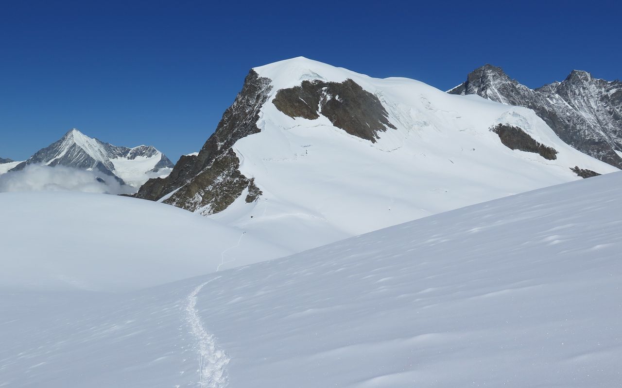
Alphubelgletscher (bei P. 3300) - Alphubeljoch
Now climb ESE over the glacier towards the rocks of P. 3761. Continue until you find the steep connecting firn/ice slope which leads up towards the northern arm of the Alphubelgletscher. The initial slope is followed by a small trough (move rightwards over this) and then a second slope that leads up onto the main body of the Alphubelgletscher. Once here, steer right (east) again and romp up to gain the Alphubeljoch, 1 1/2 hours.
Variant: Mittelallalin - Alphubeljoch
The Alphubeljoch can also be reached from the Mittelallalin station, via some rocky scrambling on the Feechopf (3887 m).
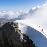
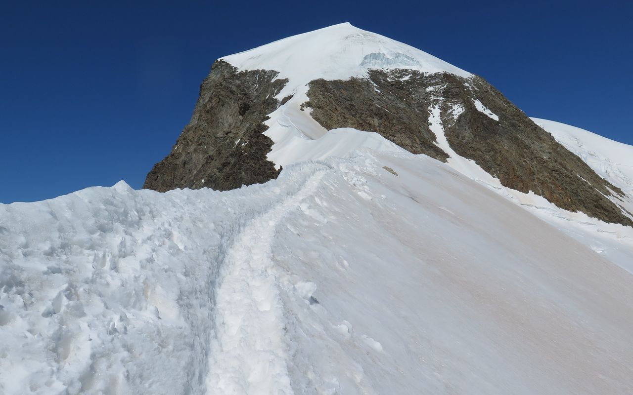
Alphubeljoch - Eisnase - Alphubel
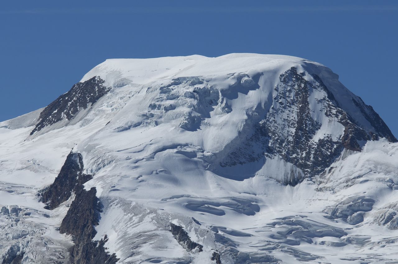
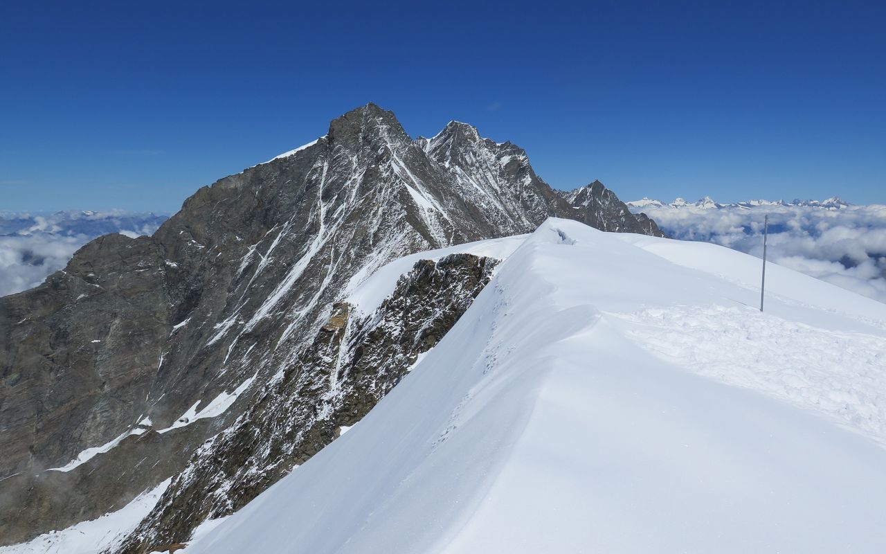
In good conditions, from the Alphubeljoch (3771 m), follow the intially narrow ridge over P. 3903, and on to where is gets pinched between two rock zones (SW and NE of the ridge). After this the ridge widens, but becomes steeper. Known as the "ice nose", this can be quite blank at times. Climb the nose up onto the wide summit cap, then continue almost horizontally over to the highest point (4206 m), 1 1/2 hours.
Variant: When the ridge is icy, there are a lot of accidents here. If so consider crossing the E-flank of the Alphubel towards P.3854 and then cut back through some large crevasses to approach the summit from NE; this is the 'normal route'.
Descent
Follow the route of ascent, or head down the normal route before either cutting back to the Alphubeljoch (for Täschhütte/Mittelallalin), or continuing down to Langflue.
Additional information
- Departure point
-
-
- Waypoints
-
-
-
Mittelallalin (3456 m)
-
- History
-
Leslie Stephen and T.W. Hinchliff with Melchior Anderegg and Peter Perren, 9. August 1860.