

![[Translate to English:]](/fileadmin/Der_SAC/Unserer_Partner/CSS_cyan_rgb.svg)
From Sanetsch via the SE side Le Sérac 2816 m
-
- Difficulty
- PD+
-
- Ascent
- 4:30–6:30 h, 1475 m
-
- Descent
- 1475 m
-
- Exposure
- N, SE
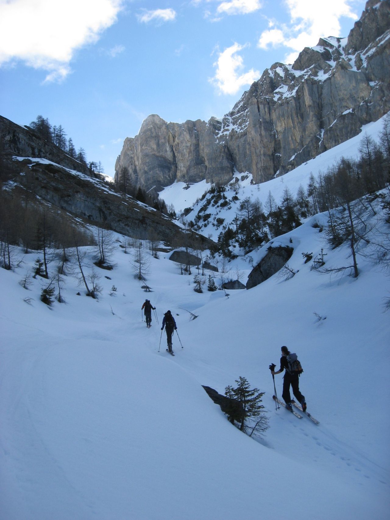
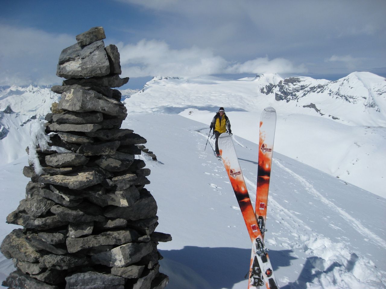
Depending on where the Route du Sanetsch road is open to, the tour can start from Daillon or further up the valley at Plan-Cernet. Follow the road to the Sanetsch pass, then wind your way through the narrow valley of the Nétage, which remains snowy long into spring, protected as it is from the sun by the high walls of Crêta Besse and Sé Noir. Halfway through this valley, branch off to the left onto the SE slopes which lead you round to the NE and N slopes, then the summit.


Route description
Plan Cernet – summit
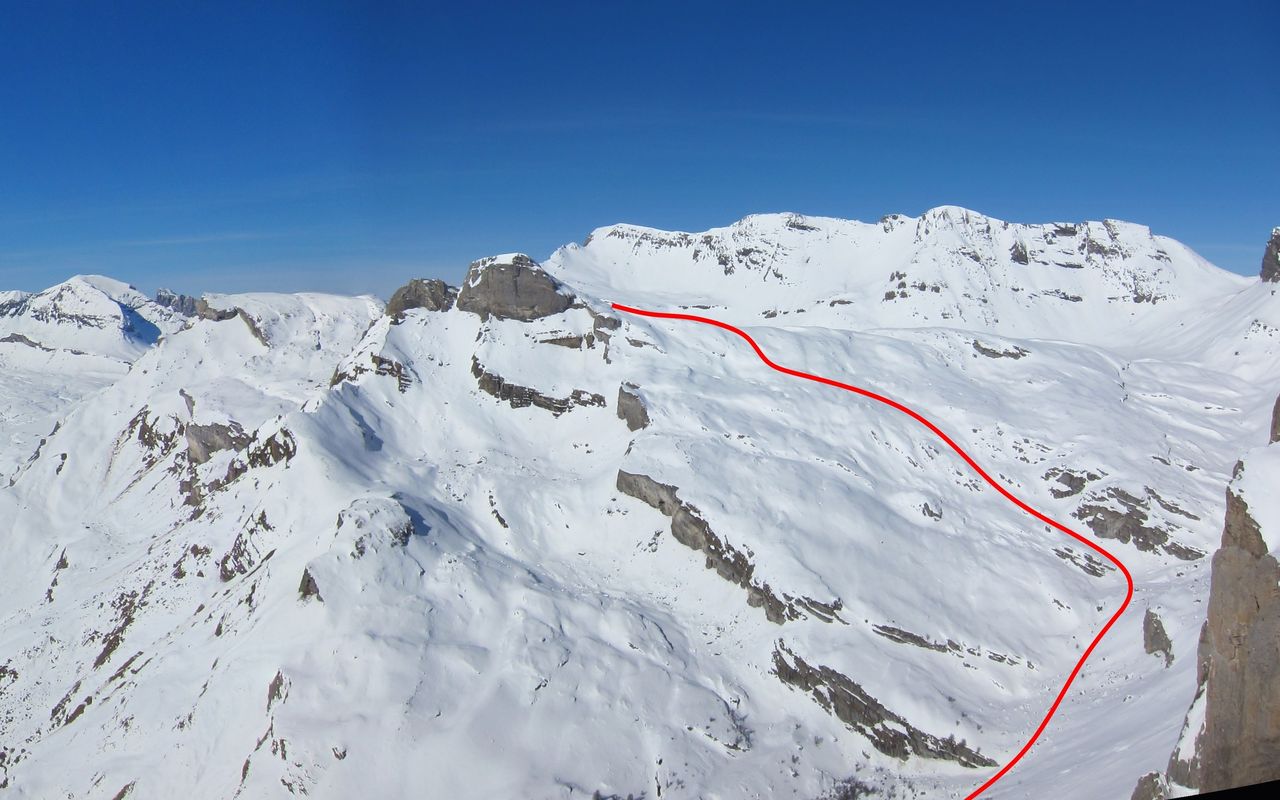
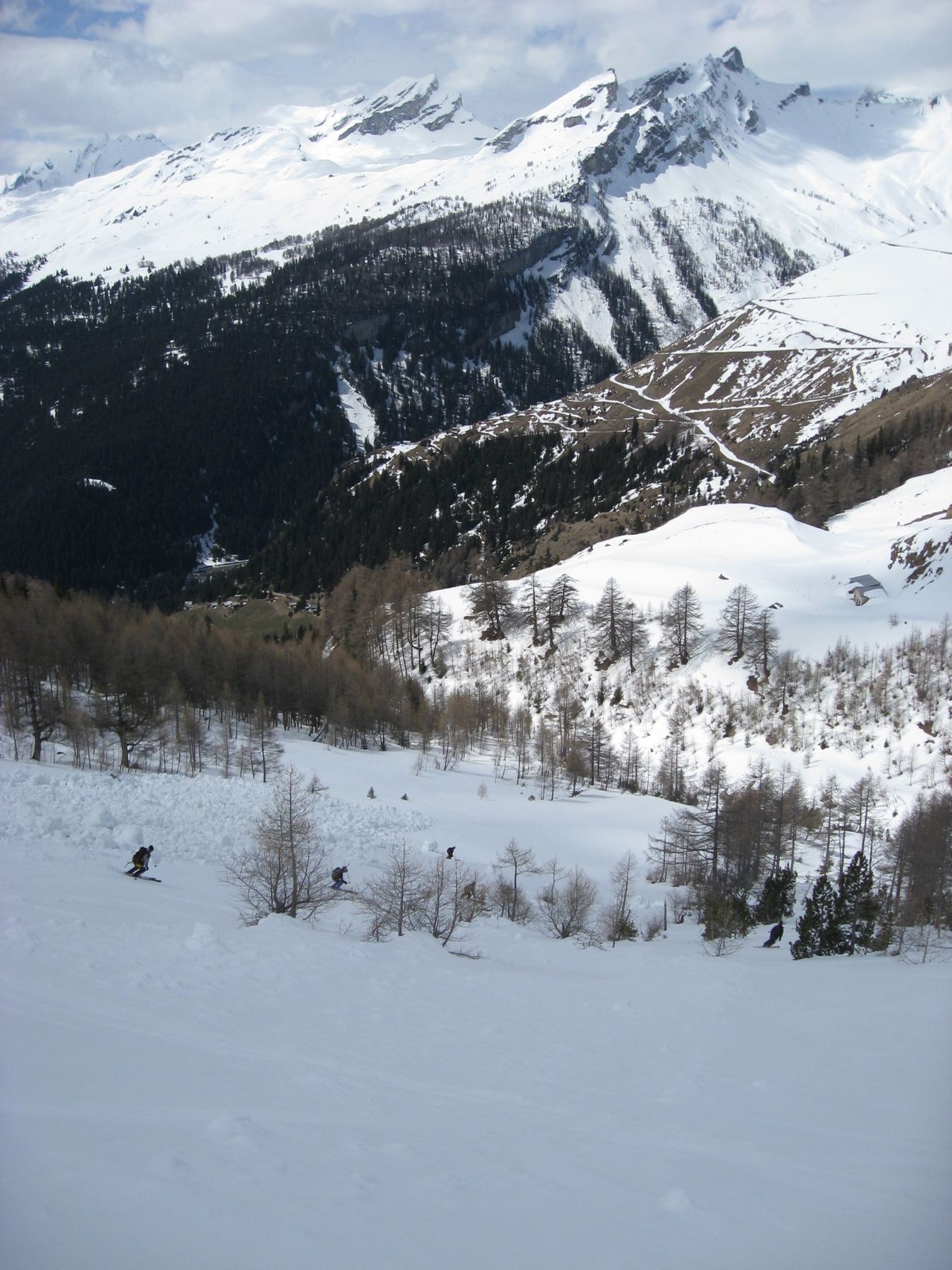
From Daillon (approx. 935 m), follow the snow-cleared road as for Col du Sanetsch, which passes to Coppet (1267 m), then Plan Cernet (1341 m). From Plan-Cernet, continue along the road to the bridge over La Nétage (1566 m). Variant: From P. 1362 follow the road to the right which leads to the bridge over La Morge (1338 m). Ascend by the path that leads via P. 1441 to the Col du Sanetsch road and continue to the bridge over La Nétage (1566 m). Follow several bends in the road or, head more directly towards P. 1666. Leave the road and ascend the open slope of Pierriers de Visse to an altitude of around 1850 m. Cross through a wooded area to reach the main valley of La Nétage and follow this up to P. 2187. Fork to the left, pass under some cliffs and climb the broad slopes of Lapis de Tsa di Faye, north of P. 2317. Pass south of P. 2612 and head SW towards the summit. The final climb involves a detour across the north facing flank, so that you can approach the summit from the west.
Descent
Follow the line of ascent.
Additional information
- Remarks
-
Long route from Daillon, usually done from Plan Cernet (1341 m) or further along the Col du Sanetsch road.
The SE slopes warm up quickly in the morning.
- Waypoints
-
Daillon, la Chapelle (963 m)
More distant, alternative start point.
-
-
Coppet (Conthey) (1270 m)
Another start option.
-
- Route number
-
603b


