![[Translate to English:]](/fileadmin/Der_SAC/Unserer_Partner/CSS_cyan_rgb.svg)
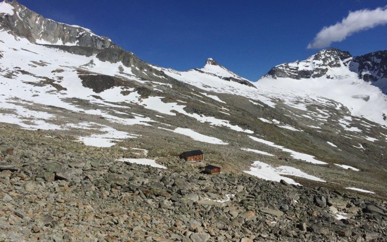
From Saas-Almagell via Almagelleralp (Normal route) Almagellerhütte SAC 2894 m
-
- Difficulty
- T2
-
- Ascent
- 3:30 h, 1220 m
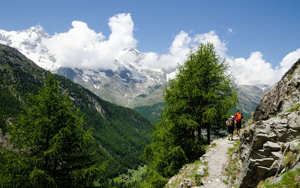
Very nice approach, first through beautiful spruce and larch forest. Above the Almagelleralp numerous babbling brooks dissect the route.
Route description
Saas-Almagell - Zum Berg - Chüelbrunnji - Almagelleralp
From Saas-Almagell (1671 m) start up to the tiny hamlet Zum Berg (1671 m) before entering the Spisswald { Spees-vald }. Wind your way steeply over the Spissgrabe to the bridge at Chüelbrunnji (2053 m). Shortly before the bridge you join another path comming from Furggstalden at 1902 m (an alternative and entertaining approach). Cross the bridge to the north of the Almagellerbach (stream) and continue in more open terrain to Almagelleralp (2192 m, hotel).
Almagelleralp - Almagellerhütte
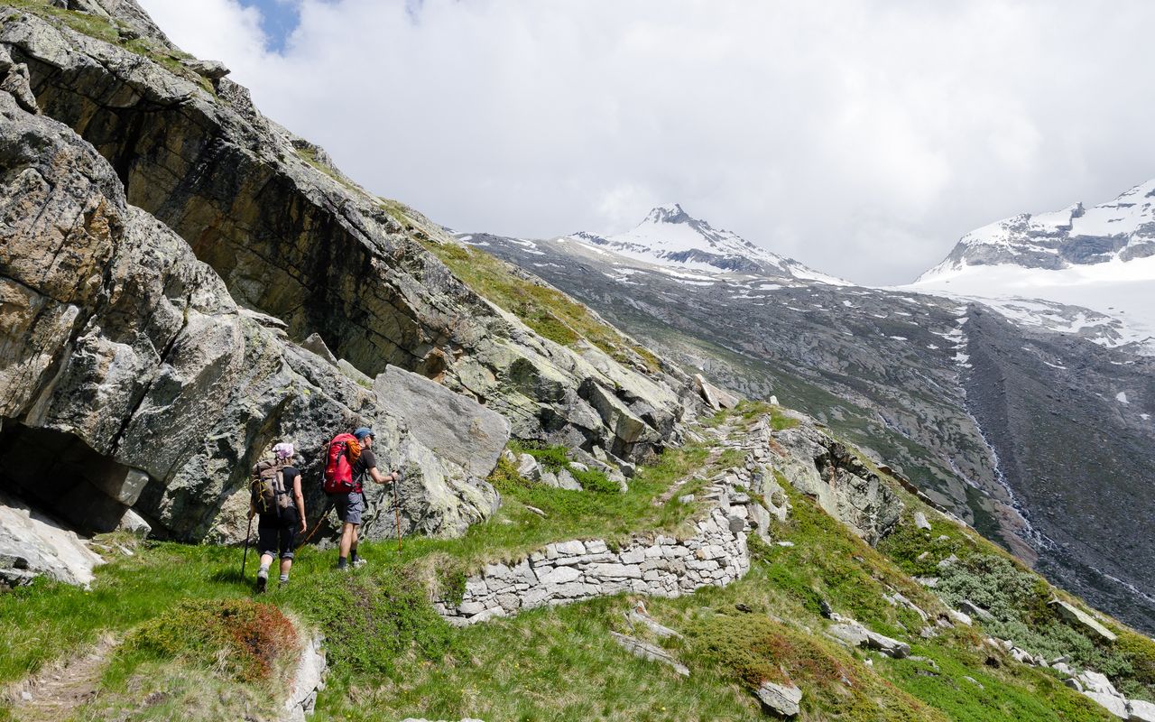
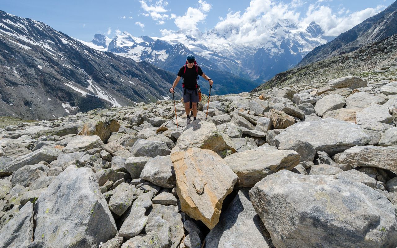
From the Almagelleralp (2192 m), continue along the Almageller valley. Shortly after the footbridge (2353 m) you climb steep zig-zags through wet meadows to the P. 2783 at the lower end of the Wysstals. From there the angle relents a little, and you will shortly arrive the hut (2892 m).
Variant A: Kreuzboden - Almageller Höhenweg - Almagelleralp
From the station Kreuzboden (2398 m) follow the Almageller- Höhenweg, past P. 2462 into the flank of the Hebord (T3). After a lonely hut at the end of the military road, continue on a mountain trail via the Wyssi Flüe into the Almagellertal, before zig-zagging down to the Almagelleralp. Thereafter follow the normal route.
Variant B: Furggstalden - "Erlebnisweg" - Chüelbrunnji
From Furggstalden (1902 m. Drive or take a cable car from Saas-Almagell) follow the road to the foot of the rocks of Hohlerch. There follow signs of the "Adventure Trail" (ropes, steps, handles, ladders, platforms two suspension bridges lead the way, T3) to reach the forest at Mittli Flüe (2036 m), before joining the main path to the bridge at Chüelbrunnji. Thereafter continue on the normal route to the hut, 3 1/4 hours.