![[Translate to English:]](/fileadmin/Der_SAC/Unserer_Partner/CSS_cyan_rgb.svg)
Alphubel 4206 m Route archive
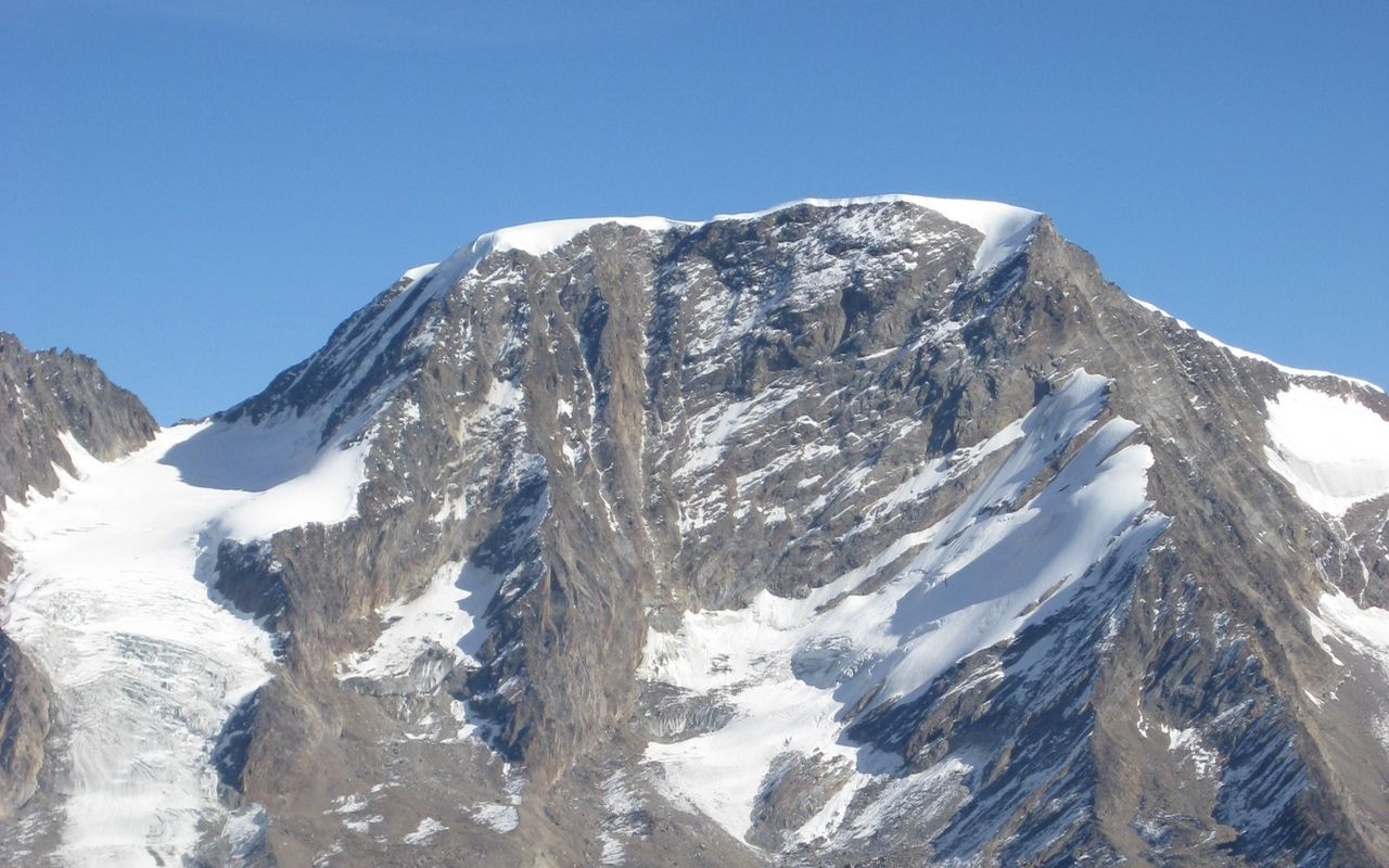
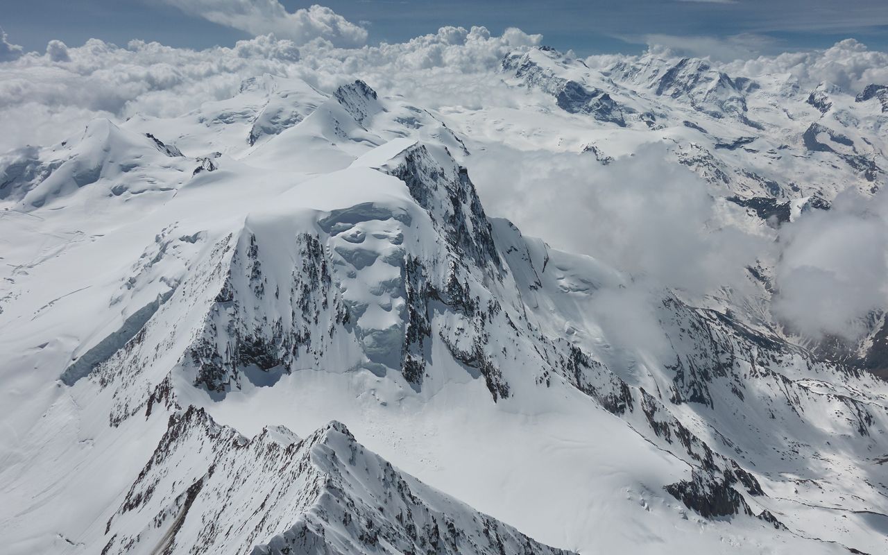
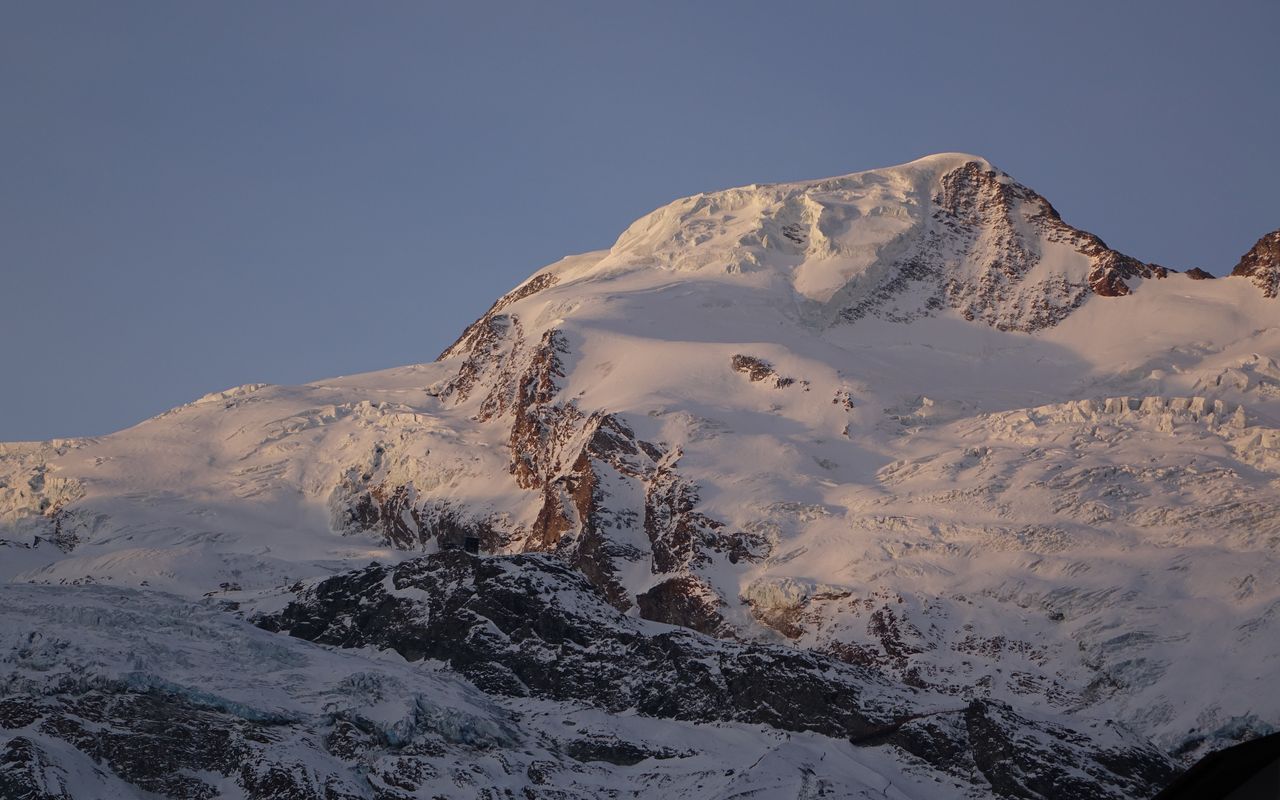
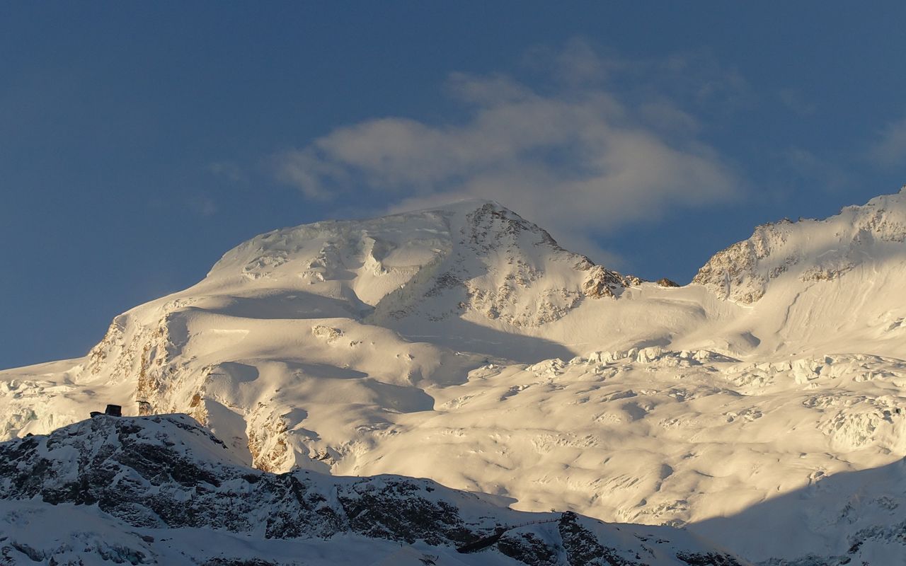
The Alphubel - the hill above the alp - , somewhat similar in appearance to the Allalinhorn, is however much bulkier, higher and wider - 'tis a bit portly so to speak. This, almost phlegmatic mountain subtly unfolds before the eyes in stark contrast to the dynamic shapes of the Mischabel pinnacles.
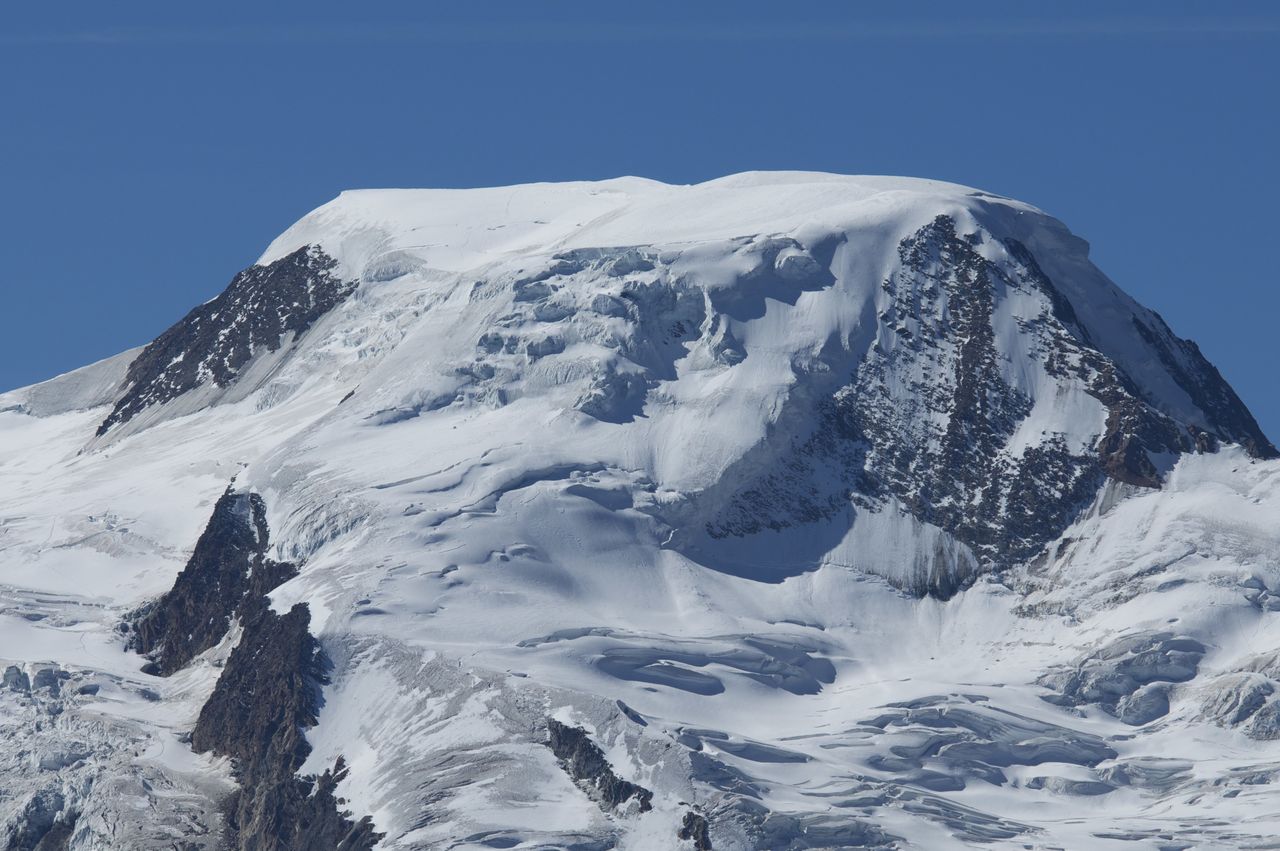
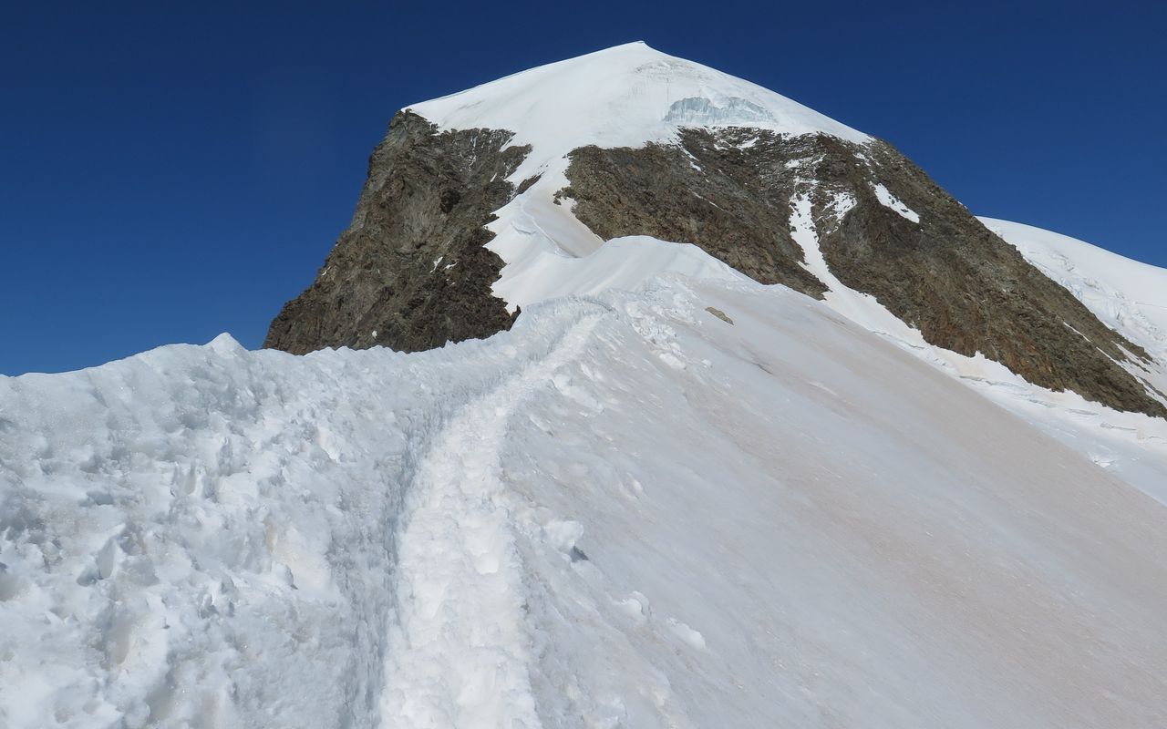
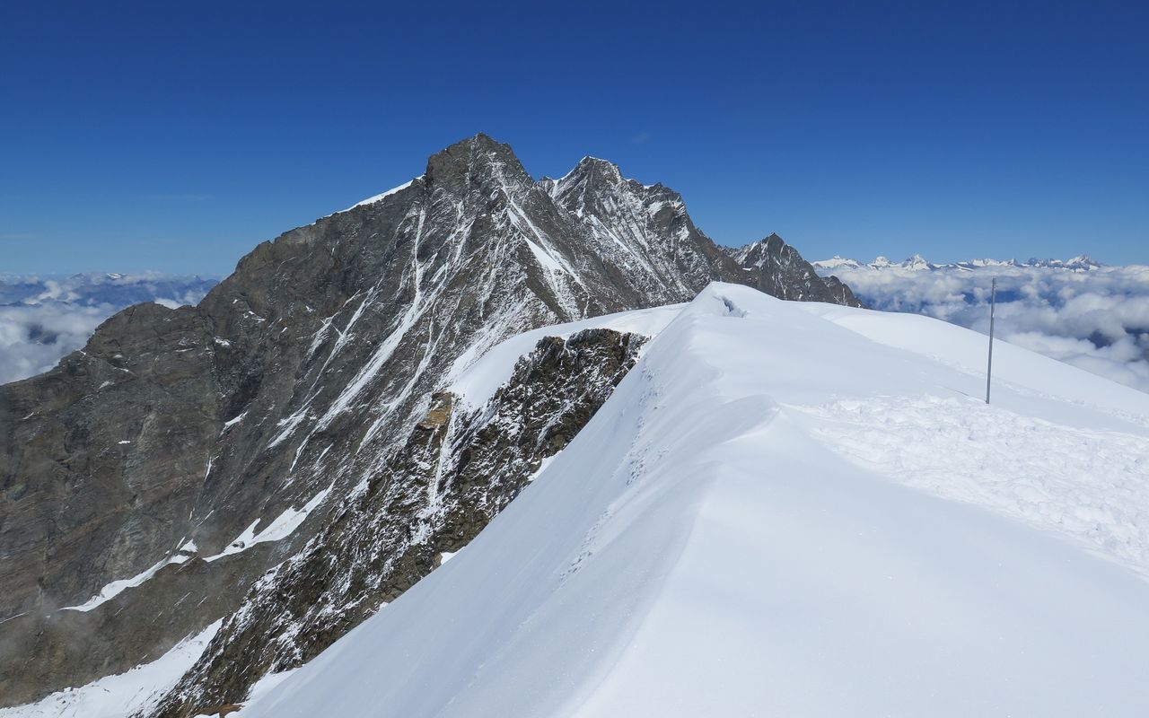
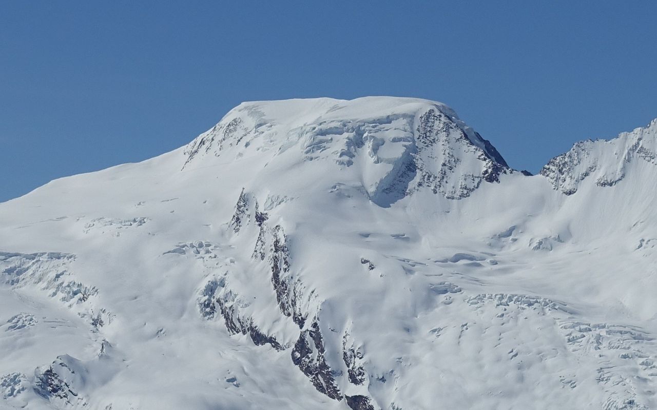
The kilometre long, almost flat summit ridge is completely glaciated on the Saas side, but towards Täsch it falls in a series of impressive rock steps and ridges into the deep. Oddly, the thick ice sheet is almost completely melted off the mountain's northern bow (that facing the Mischabeljoch).
No less than six striking ridges lines aspire to reach the high summit ridge. The longest of them, the Rotgrat, is almost three kilometers long and starts near the Täsch hut. The Alphubel in fact that it has several "peaks" that are often confused with each other. Not everyone who has climbed it has been on the true summit... This is located in the southern third of the summit ridge and is measured at 4206 m.
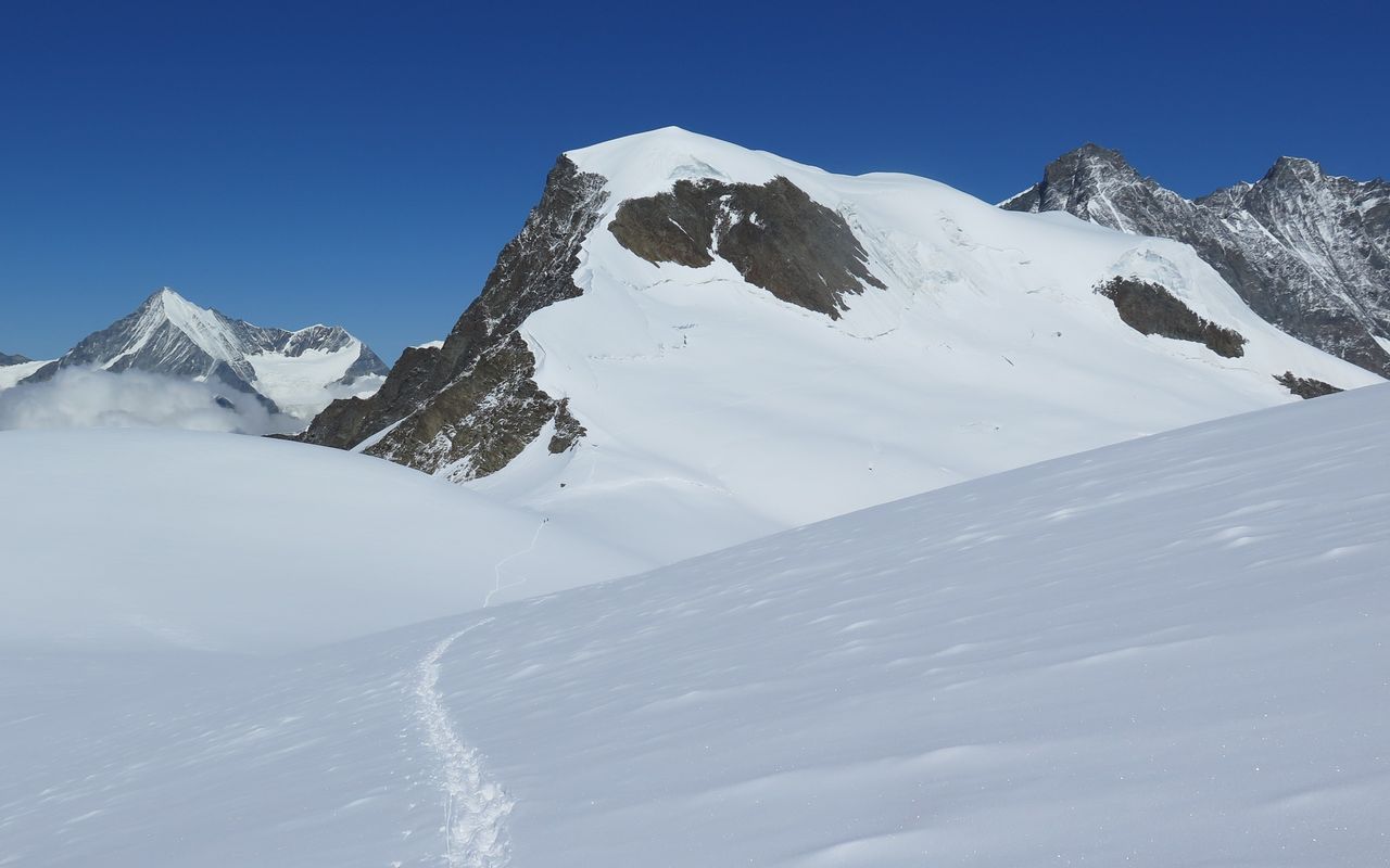
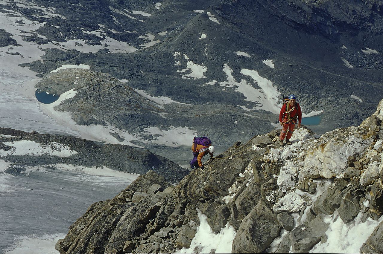
The Alphubel is a technically relatively easy mountain by its normal routes. But its ascent is much longer than e.g. those of the Allalinhorn, and its flanks are notorious for the bottomless crevasses that hide there. These characteristics should be taken into account.