Western ridge | Mountain hiking | Swiss Alpine Club SAC
Unterstütze den SAC Jetzt spenden

Western ridge (Normal route) Axalphoren 2320 m

  • Difficulty
    T5-
  • Ascent
    3:45 h, 1000 m
  • Descent
    2 h, 1000 m

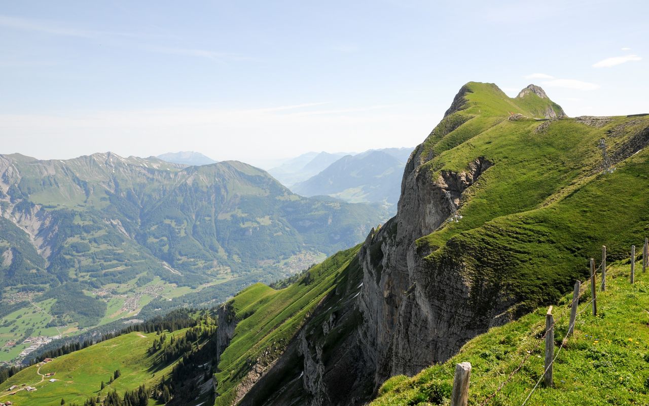
Between rock faces and steep grassy slopes

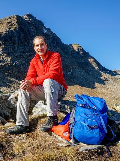
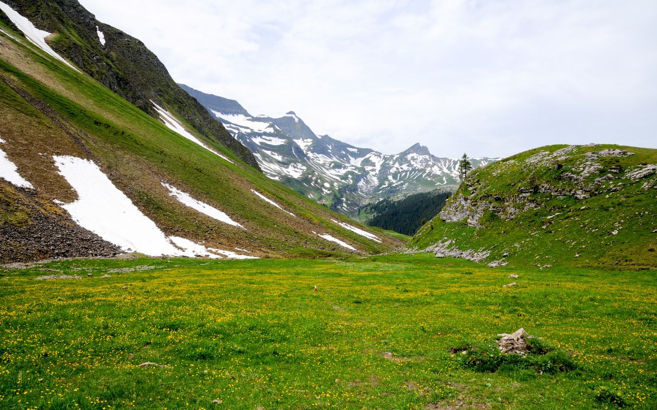
Viewed from Brienz, Axalphoren is first of all a mighty, unwelcoming rock face, but a secluded valley and steep grassy slopes are hidden behind it. As the enchanting Hinterburgseeli and the carved wooden figures along the way are worth a visit, we include the trail along the little lake in the main intinerary although it is a detour. Between October and December and between January and May the whole area may be inaccessible due to military target practice.

Route description

Axalp – Hinterburgseeli – faint path below the western summit
From Axalp follow the marked hiking trail to Hinterburgseeli. Along the way you see wooden figures carved by students of the wood carving school Brienz (www.holzbildhauerei.ch). From Hinterburgseeli the trail climbs westward in many turns and then above rock faces up to the alp Urserli (1805 m). Now continue southward to Sattel (1959 m). This part of the trail is on karst limestone, which can be sharp-edged as well as slippery. In wet conditions caution is advised, the steel cable notwithstanding. Continue on the mountain hiking trail via Scheitegg onto the western ridge of Axalphoren. Now climb, first on the ridge, then, in the steep grassy slope, on a narrowing path to a point some metres below the western summit (2307 m).
Faint path below the western summit – Axalphoren and back
From below the western summit (2307 m) continue in the path, which from now on is much fainter and, above all, more exposed where it is on the very steep grassy slopes. Below another, small secondary summit continue into a breach below the main summit. From this breach climb easily (I–II), but exposed to the highest point. Descend the same way back to the point below the western summit.
To the western summit
Western summit (2307 m): it is easier than the main summit and does not require any climbing. However, the summit is exposed. On the way to Axalphoren do not traverse the south slopes, but take the western ridge up to the western summit. T4, saves 15 mins.
Faint path below the western summit – Chüemad – Axalp
On the now better visible path descend back to the bifurcation on the western ridge. Now follow the mountain hiking trail to the army buildings and continue westward to Tschingel (2243 m), then in a wide arch descend via P. 2108 to Chüemad and back to Axalp, alternating between the alp road and the hiking trail.
Alternative descent via Lütschental
On the descent turn left below Tschingel into the beautiful Lütschental and via Lütschentälti (1848 m) hike back to Chüemad und Axalp. Marked mountain hiking trail. Add roughly 20 mins.
Alternative descent via Tschingel and Windegg
It is possible to descend directly from Tschingel to Windegg via the north-western ridge. On the ridge you will find faint trails and fixed ropes, while Windegg is mainly pathless. T4–, very steep, saves a few minutes as compared to the main itinerary.
Alternative via Chrutmettli
Instead of hiking to Hinterburgseeli one can ascend and descend via Chruttmettli (mountain restaurant Hilten), which saves roughly 20 mins. as compared to the itinerary via Hinterburgseeli.

Additional information

Departure and arrival point

Axalp (1532 m)

Sportbahnen Axalp: www.axalp.ch

Difficulty / Material

Until the last few steps the hike is easy; however, being sure-footed and unafraid of heights is necessary as the path traverses steep grassy slopes. Only the last few metres require climbing (I to II, T5–). The western summit is easier (2307 m, T4).


Between October and December and between January and May the whole area may be inaccessible due to military target practice. More information at www.vtg.admin.ch/content/vtg-internet/de/aktuell/mitteilungen/schiessanzeigen.zensa_detail.html/1305.085.html

Waypoints

Windegg, Bergstation (1920 m)

On the alternative descent from Tschingel you pass by the top station of the Axalp lifts. In summer, however, they are not in operation.

Tschingel (Axalp) (2243 m)

Flat summit to be traversed on an alternative itinerary.

Neighbor summit

Oltschiburg (2233 m)

Follow the way to Axalphoren as far as the alp Urserli, then continue east- and northwards to Arven. There you find a small, unofficial signpost reading «Burg». Follow the sign southeastwards to a couloir, in the beginning pathless, then on faint trails. Climb up it and continue through steep grassy slopes to the summit plateau. Some white-blue-white markings and fixed ropes lead the way. T5–. Or easier: reach the summit from the east, hiking on a faint path via Chratz and Chübel (sheep tracks, red markings) to the saddle P. 2115 and on to the summit. T3+. It is advised to undertake this tour outside the alp season, as otherwise there will be flocks of sheep at the summit.

Author

Fredy Joss

Sabine und Fredy Joss

Alpine hiking, climbing and other mountain sports Sabine and Fredy Joss's passion. They have been writing and photographing for the SAC publishing house and the club magazine Die Alpen for many years. Sabine is also a biologist and tour guide; Fredy a proofreader and editor for various magazines.

Our recommendations

Skitouren Berner Alpen Ost

Skitouren

Skitouren Berner Alpen Ost

Price CHF 44.00
Member price CHF 34.00
SAC-Crocs

Equipment

SAC-Crocs

Price CHF 59.00
Member price CHF 49.00
Klettern Kombipaket Berner Oberland

Klettern

Klettern Kombipaket Berner Oberland

Price CHF 98.00
Member price CHF 79.00
Tourenportal/App-Abo Jahreszahlung

Subscription to the SAC Route Portal

Tourenportal/App-Abo Jahreszahlung

Price CHF 49.00
Gipfelziele Berner Oberland Grossformat

Berg- und Alpinwandern

Gipfelziele Berner Oberland Grossformat

Price CHF 54.00
Member price CHF 45.00
SAC-Hütten-Monopoly

At home

SAC-Hütten-Monopoly

Price CHF 69.90
Member price CHF 60.00
SAC-Taschenmesser

Equipment

SAC-Taschenmesser

Price CHF 54.00
Member price CHF 49.00
feedback