![[Translate to English:]](/fileadmin/Der_SAC/Unserer_Partner/CSS_cyan_rgb.svg)
Eiger-Ostegg via ferrata Eiger-Ostegghütte 2320 m
-
- Difficulty
- K4, T5
-
- Ascent
- 1:15 h, 260 m
-
- Mountain Experience
- 4 / 4
-
- Power
- 3 / 4
-
- Endurance
- 2 / 4
-
- Psyche
- 2 / 4
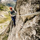
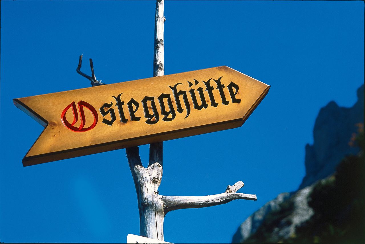
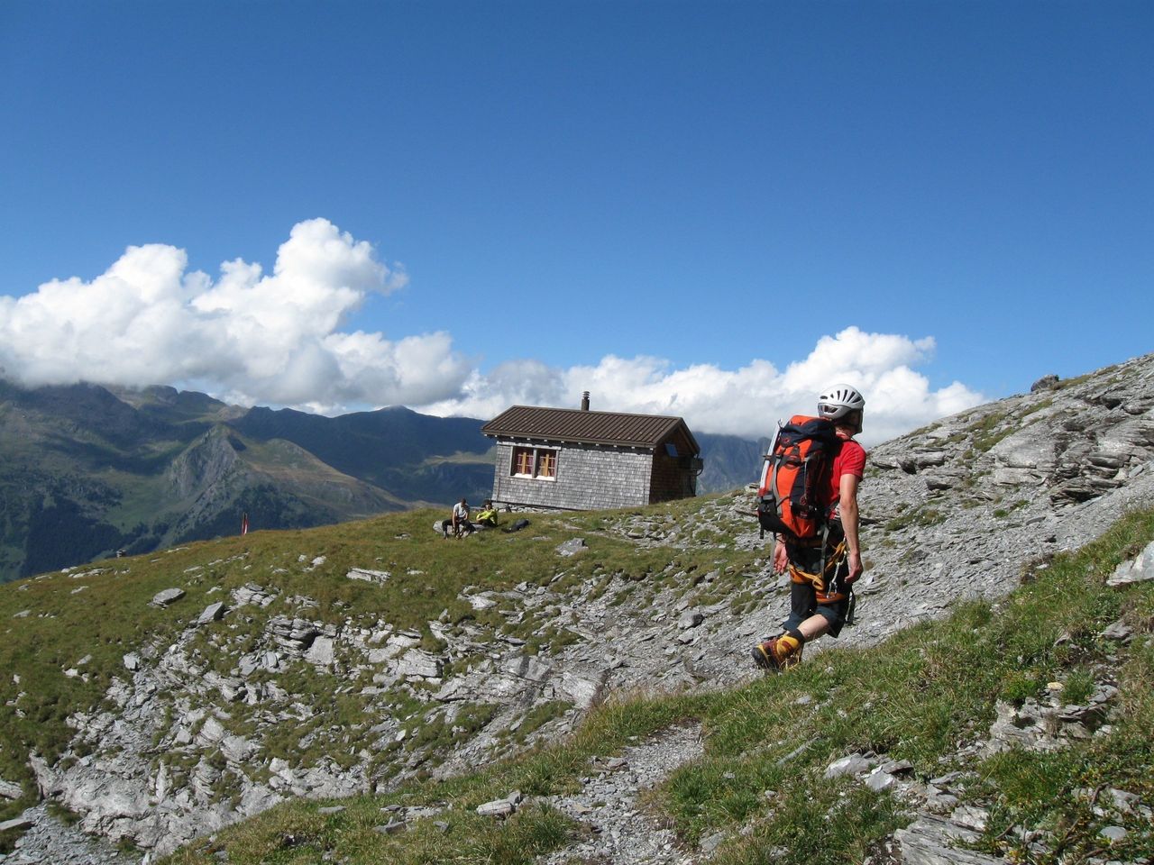
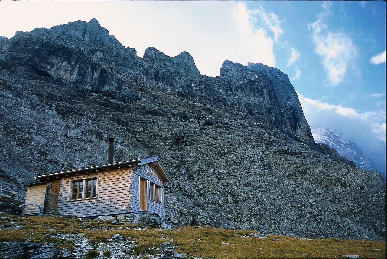
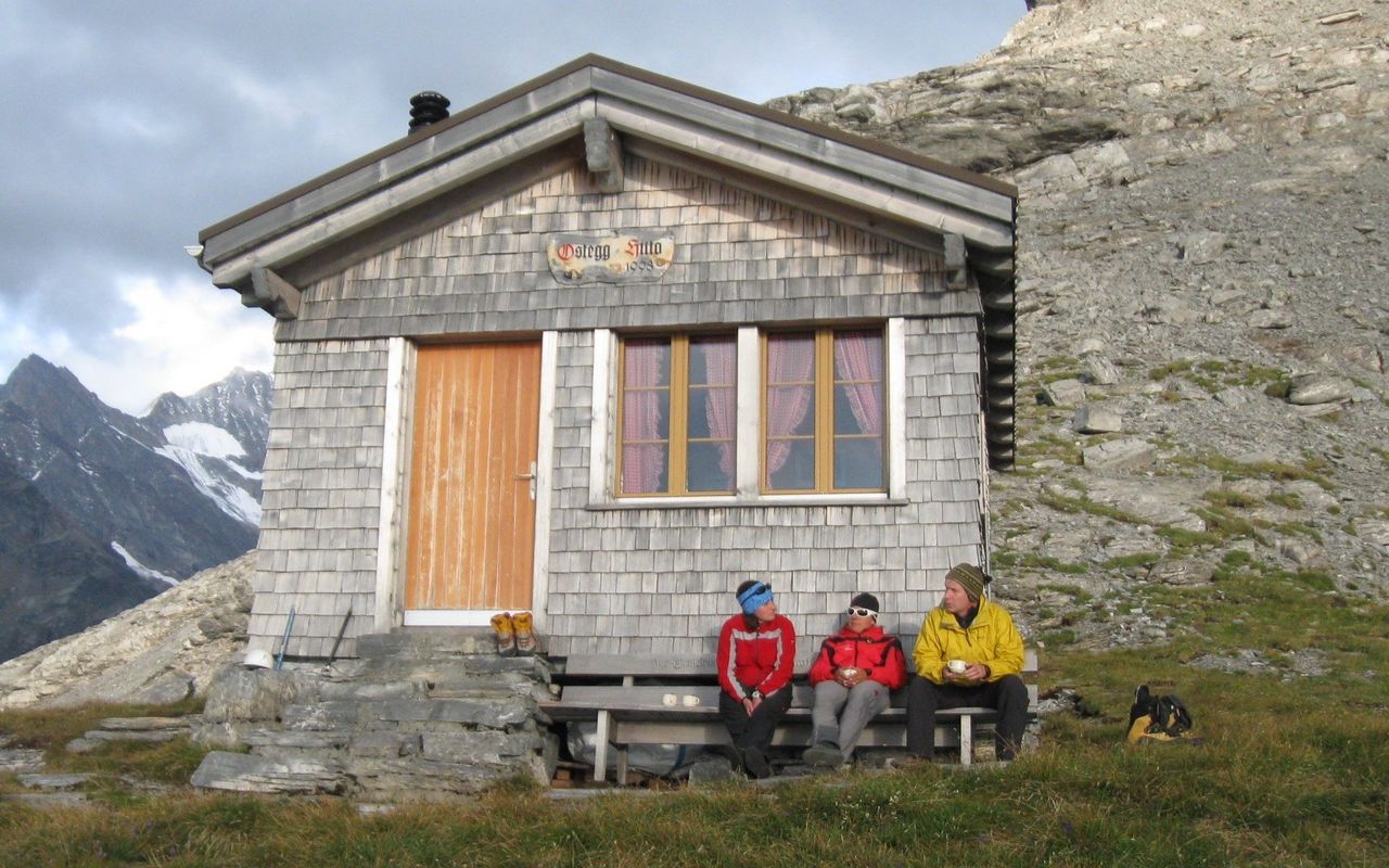
Who would have thought so: four man-made or heavily worked routes on and through the Eiger (3970 m): that bulwark at the forefront of the Bernese Alps, whose north face has made headlines continuously since 1934. First there was the cog railway, built between 1896 and 1912, which rattles through the Eiger for 4 kilometres and has several stops: the (previous) Rotstock station (1899-1903), Eigerwand (since 1903) Eismeer (since 1905) and finally the Jungfraujoch (from 1912 onwards). A climb to the Rotstock, fitted with metal ladders, was open as long as the station of the same name was operated. The Rotstock station and route have since been closed, but from 2000 on there has been another route to the Rotstock, approached from the north side, via an adventurous ferrata. Then there's the Mittellegigrat, an iconic climb, first done in 1921, which has had fixed ropes in place since 1926 (in total today there are 200 metres of it). Finally, there is the Eiger-Ostegghütte, built by the Grindelwald mountain guide association in 1998. To ease the difficult approach, steel cables and iron bars were installed, forming a short via ferrata. Which of these four routes will be chosen to feel the Eiger up close and personal, depends on personal preference. A hint: The Eiger-Ostegghütte receives the least visitors by a long shot.
Route description
Additional information
- Character
-
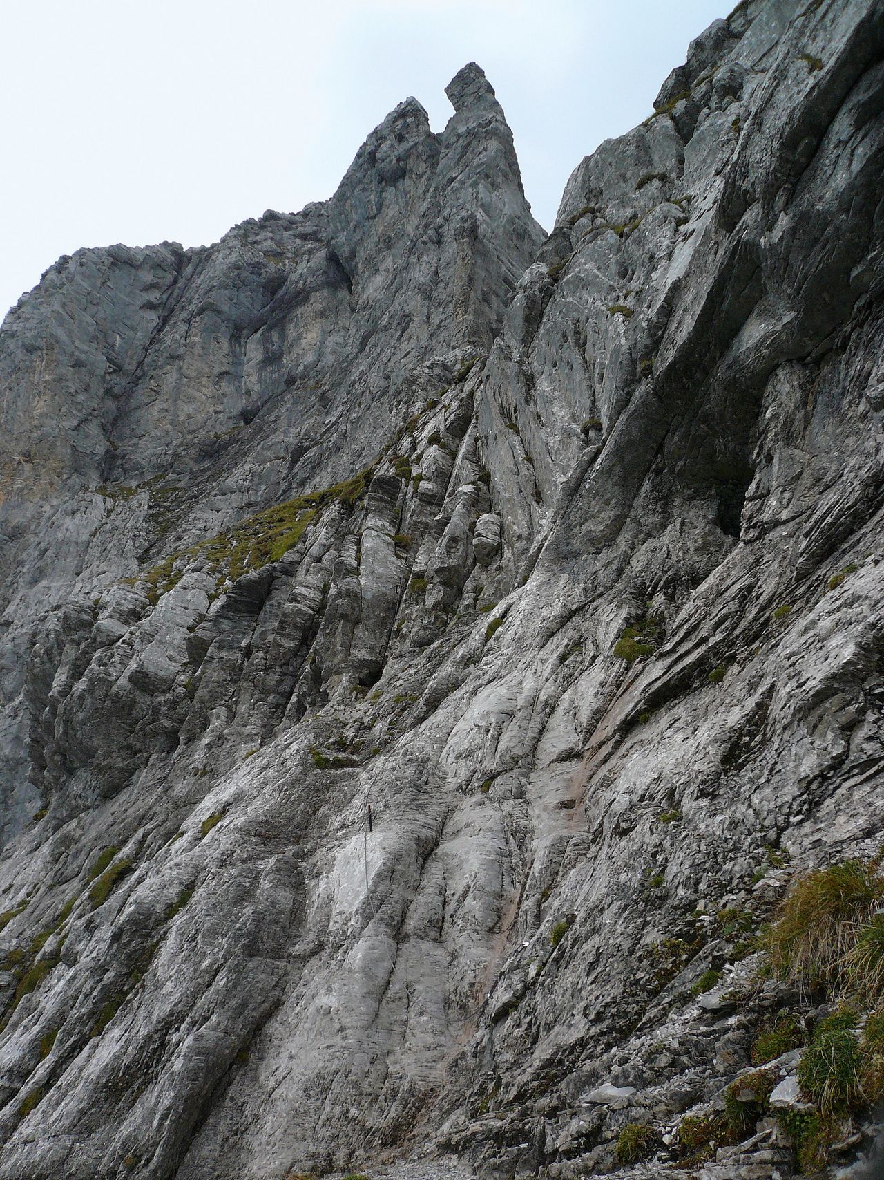
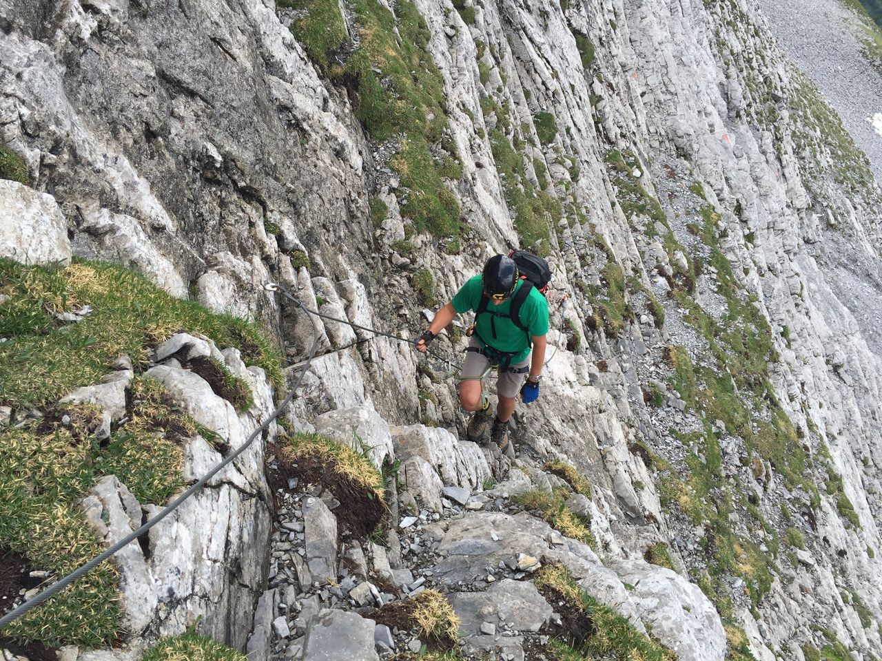
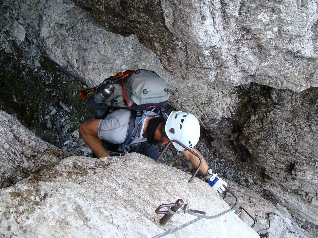
In the most difficult places a rope should also be used; not everywhere can one hold on to iron. Furthermore: iron rungs are only set where they are really needed. If you do not have a steady step, a good head for heights, and a bit of strength in your arms, you'll be better off enjoying a nice hike to Alpiglen and enjoying a "Käseschnitte". Most beautiful in the evening alpenglow, followed by an overnight stay at the Ostegg hut (call / visit Grindelwald Sports to book your bed).
- Time
-
Total: 5 hrs. Approach: 3 hrs. Descent: 2 hrs.
- Signalisation
-
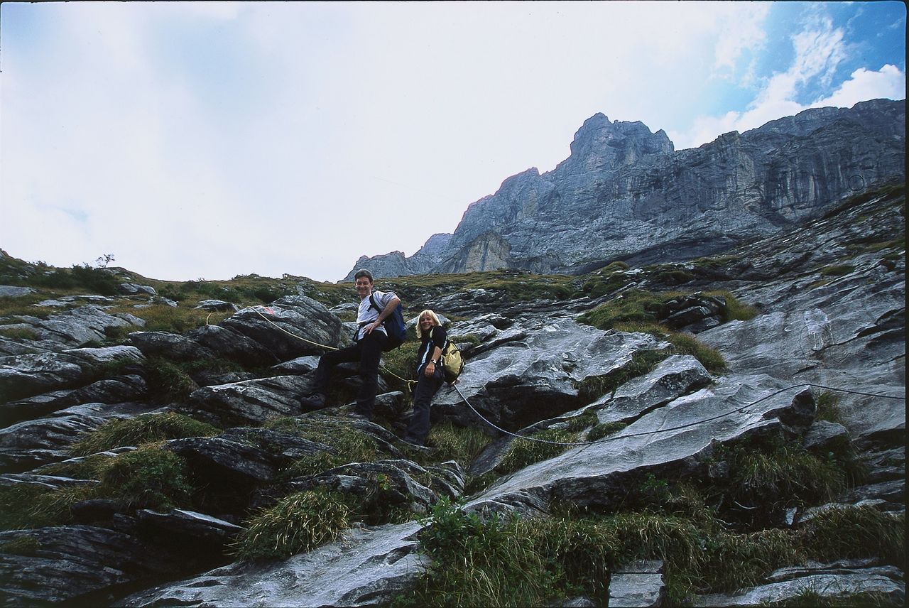
The approach path is marked with red paint and the odd cairn, but is not all that obvious.
- Descent
-
As for ascent. Instead of returning to Alpiglen (2-3 hours), you can descend on the trail over Bonera to the Hotel Gletscherschlucht (1014 m) and go through the village to the train station Grindelwald (3½ hours).