![[Translate to English:]](/fileadmin/Der_SAC/Unserer_Partner/CSS_cyan_rgb.svg)
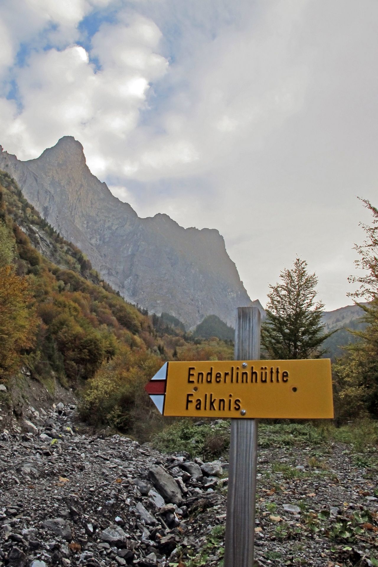
From Maienfeld or St. Luzisteig via the Enderlinweg (Normal route) Enderlinhütte SAC 1501 m
-
- Difficulty
- T3+
-
- Ascent
- 3 h, 1000 m
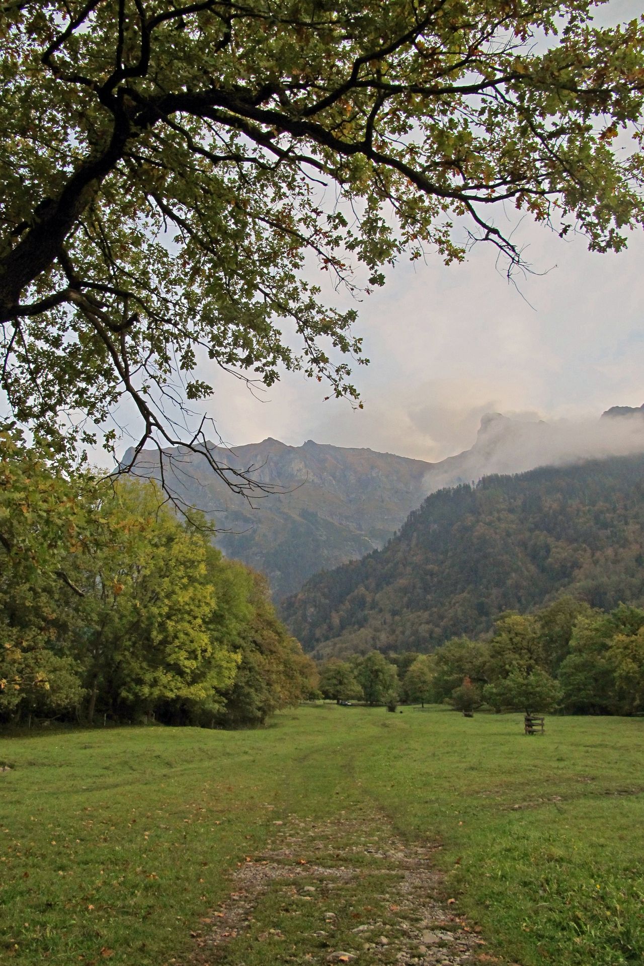
The «Enderlinweg» is the only noteworthy appraoch to the hut, created by Fortunat Enderlin as a lifework at the same time as the hut. From Maienfeld, the path leads first through pasture land with solitary oaks, then briefly through the forest. From the “Enderlinstein” and the brook crossing at "Loch", the actual Enderlinweg leads steeply through the wild side of the Falknis to the hut a little below the tree line. The Enderlinweg continues from here - again somewhat more demanding and marked in white-blue-white - to the Fläscher Fürggli.

Route description
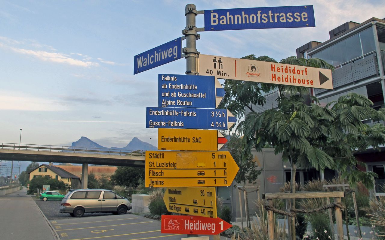
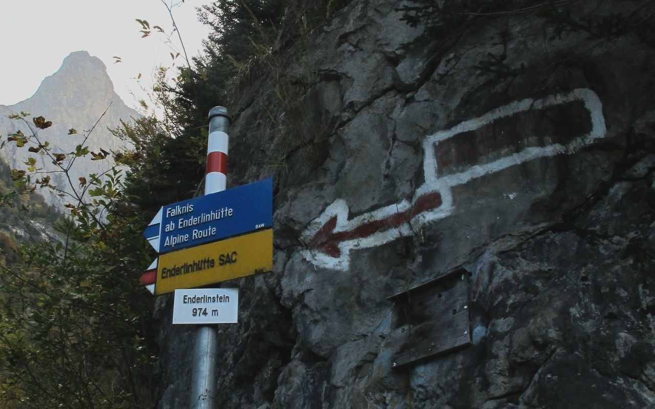
Maienfeld - Loch (Enderlinstein, P. 977)
From Maienfeld (503 m) or Bad Ragaz (501 m) train stations, you can reach the «Enderlinstein» (977 m) on signposted and marked mountain paths through the steep forest, mostly on mountain roads.
Loch (Enderlinstein, P. 977) - Enderlinhütte
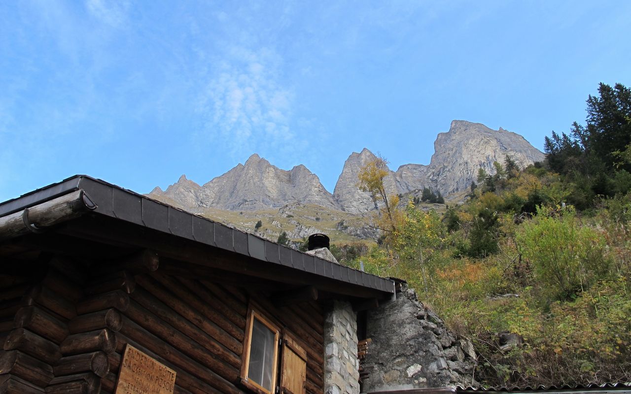
The “Enderlinweg” starting from the Loch (Enderlinstein, P. 977) winds up the northern (S-facing) slope of the basin, bearing first NE to bypass the Tristelstein (cliff), then back W on top of it; then in small zigzags straight up. From about 1430 m, the path leads W once more around a forest ridge and finally up to the hut, which only becomes visible at the last moment.
Variant: St. Luzisteig - Loch (Enderlinstein, P. 977)
From St. Luzisteig (711 m) ascend the forest edge past the water reservoirs to a crossroads (P. 838). Turn right and follow the forest road to P.891 where a hiking trail leads on east to Loch where you will meet the main hiking route and shortly thereafter the Enderlinstein (P. 977).