![[Translate to English:]](/fileadmin/Der_SAC/Unserer_Partner/CSS_cyan_rgb.svg)
From the Weissmieshütte via the West-Flank and the NW-Ridge (Normal route) Fletschhorn 3986 m
-
- Difficulty
- PD, I
-
- Ascent
- 4:30–5 h, 1271 m
-
- Descent
- 24 m
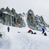
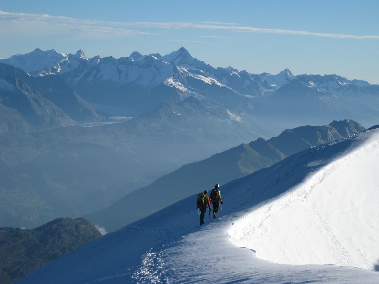
This rather simple route is often tackled, especially in conjunction with the traverse to Lagginhorn. From the hut you climb over the Grüebugletscher to the NW-ridge. The climb then leads over two ridges and a flank to the summit.
Route description
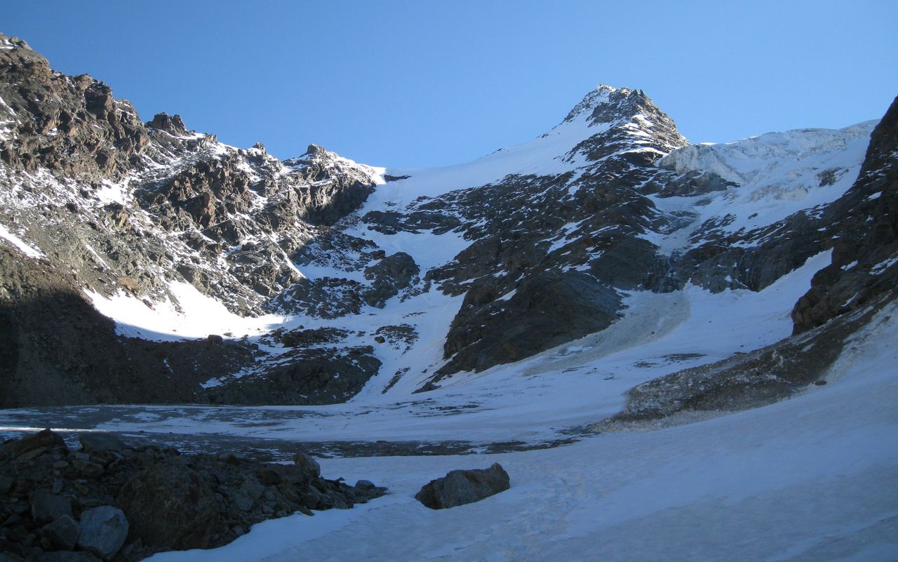
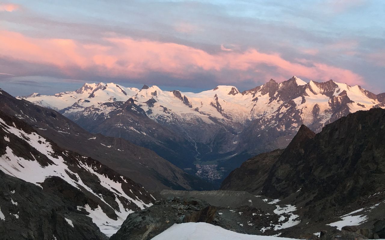
Weissmieshütte - Tälligletscher
From the Weissmieshütte (2726 m), follow the path onto the right (eastern) moraine of the fast disappearing, scree covered Tälligletscher. At the end of the moraine, a short descent leads down to the glacier.
Tälligletscher - Fletschhorn
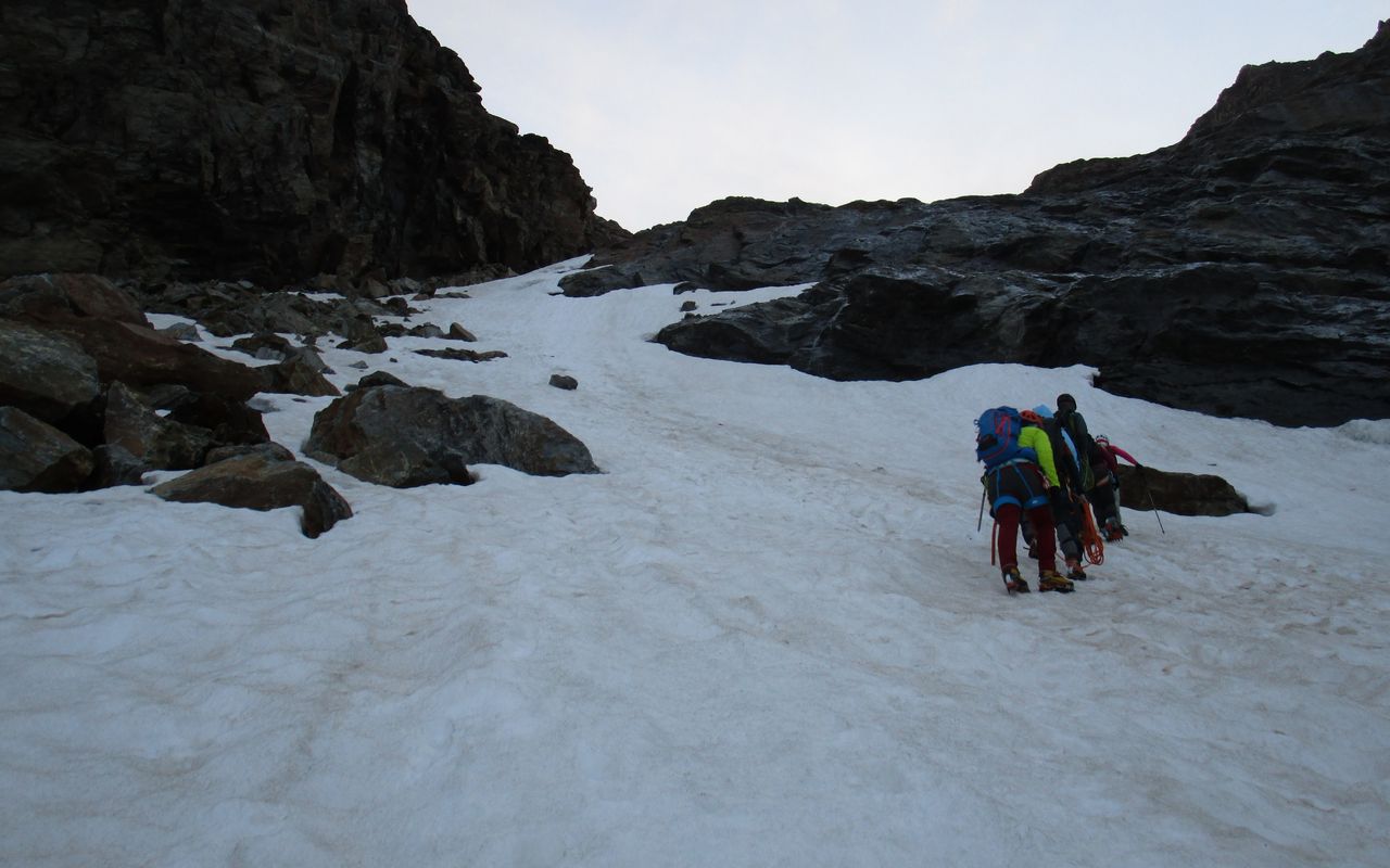
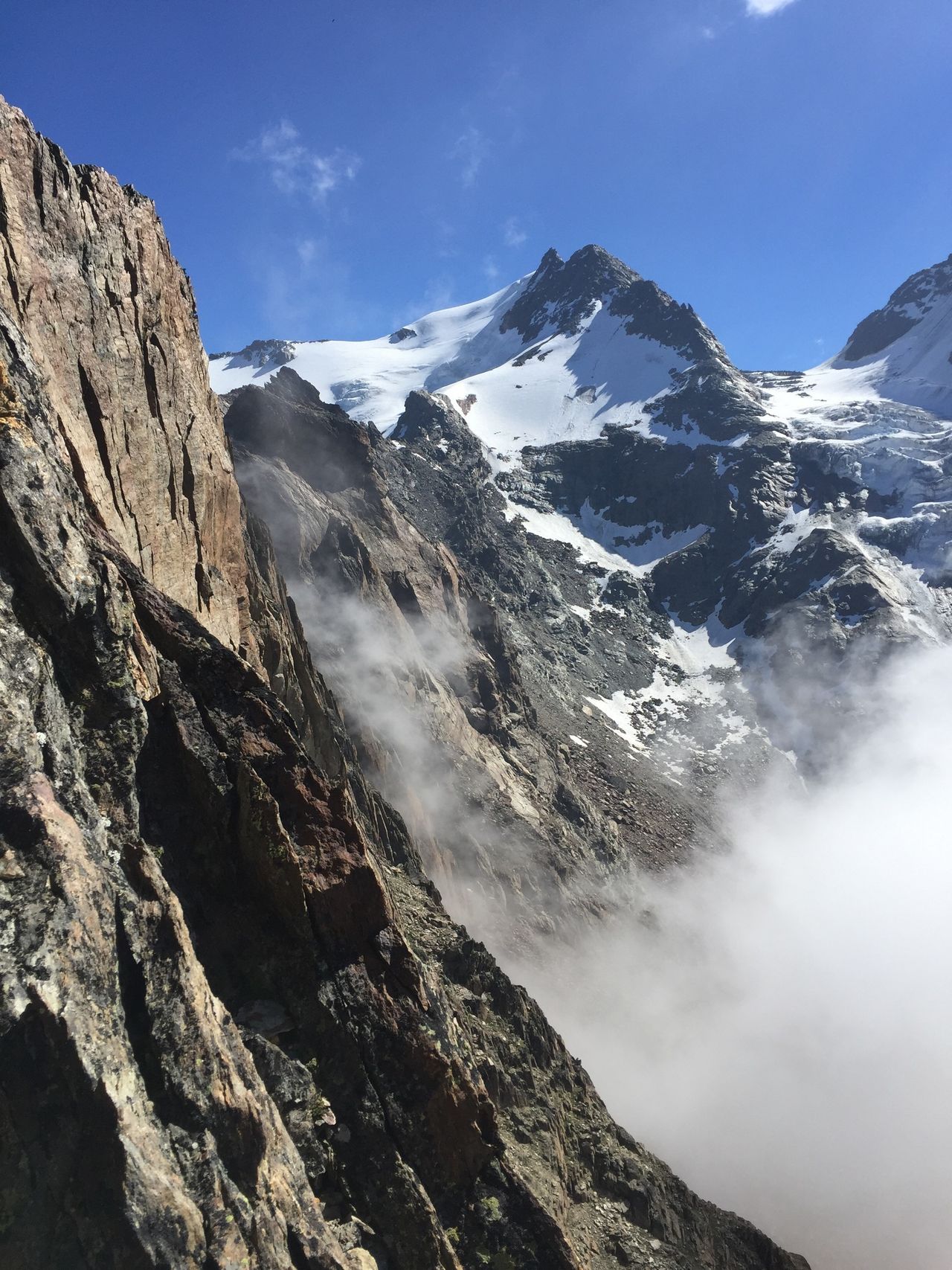
Now climb up the glacier and cross over to its northern shore; after bypassing numerous crevasses keep as far west as possible due to the high risk of ice fall presented by the Fletschhorngletscher above. Follow zig-zag tracks up over scree, and through a trough to the left of P. 3263. There follows a steep firn or ice field, which especially during descent requires sturdy crampon work (if in doubt secure with ice screws). In the upper part, instead of following the steep snow flank, you can traverse left through the rocks to gain the ridge. This point is known as "Frühstücksplatz", or the "Breakfast Stop" (ca. 3530 m), 3 hrs.
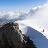
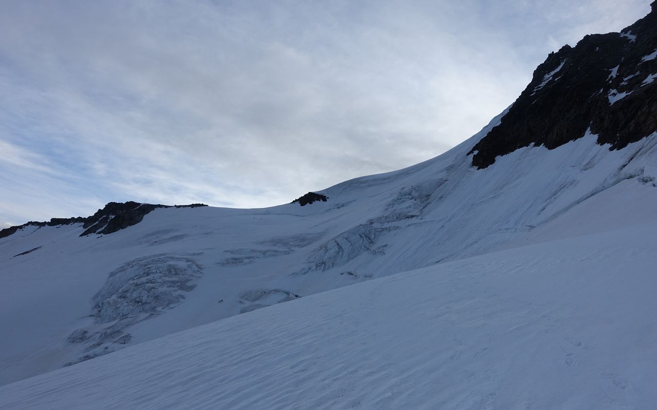
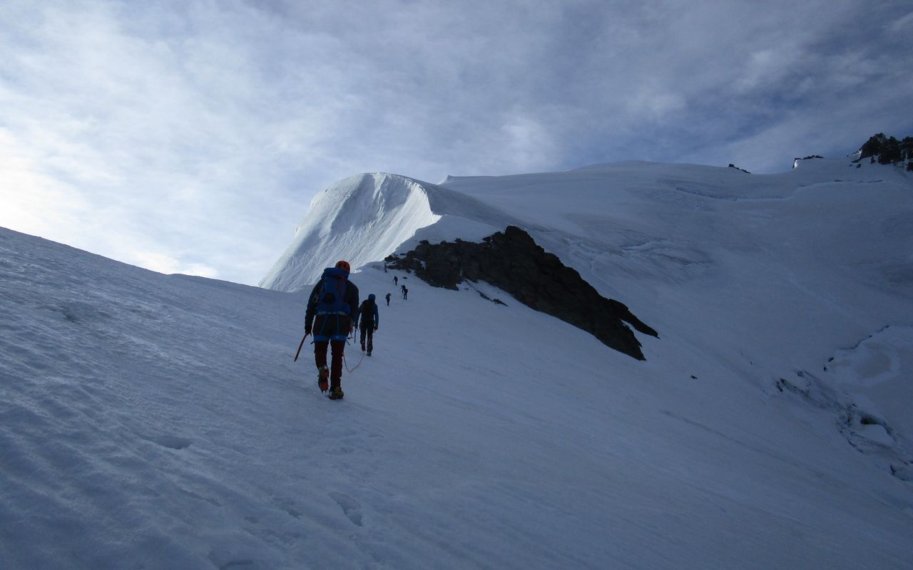
Now climb eastwards along the firn ridge before moving out onto the Grüebugletscher (after ca. 3600 m). There climb diagonally (plumb north) until the angle eases, before turning east towards the NW ridge, arriving at a saddle ca. 3840 m. Follow the simple and broad hump-back to the summit of the Fletschhorn (3985 m), 1½ hrs.
Variante bei Ausaperung
Diese Variante umgeht die bei Ausaperung steinschlägige Hauptroute via P. 3263 und ist rund 30-60 Min. länger. Mit Steinmännern und Anfangs auch Reflektoren markiert. Man verlässt die Hauptroute auf ca. 3050 m nach links (Norden) und gewinnt so das markante Geröllband, das nach rechts (Nordosten) auf den Grat zieht. Dann dem Grat entlang mit einigen Kletterstellen bis 3a: Ein kleiner Turm wird nordseitig angegangen und über einen Tisch wieder auf die Kante zurück, eine Platte und der markante Aufschwung bei P. 3522 (nördlich der Gratkante angehen) können auch mit Hakenhilfe (A0) geklettert werden.
Descent
Follow the route of ascent, or move on the the Lagginhorn.
Additional information
- Departure point
-
-
- History
-
The first ascent is not known with certainty. Presumably it was made by J.D. James and guide Ambros Supersaxo, in July 1889.