

![[Translate to English:]](/fileadmin/Der_SAC/Unserer_Partner/CSS_cyan_rgb.svg)
From the Planurahütte SAC via the East Ridge. (Normal route) Gross Schärhorn 3295 m
-
- Difficulty
- PD
-
- Ascent
- 3–4 h, 450 m
-
- Descent
- 2:30–3:30 h, 450 m
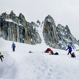
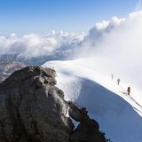
The Gross- and Chli Schärhorn form a striking double summit, sharp as a pair of scissors (hence the name schäre/scissors). The crevassed glaciers, the great open expanse around the Planurahütte and the steep summit structure all give a climb of the Schärhorn that proper alpine feel.
Route description
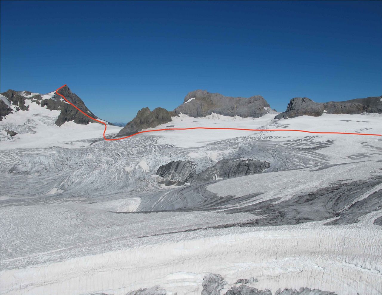
Planurahütte - Hüfifirn - Gross Schärhorn
Traverse the watershed to Claridenpass, then drop down onto the glacial plateau and cross over to the foot of the Chammlihoren. Pass left (south) of its rocky buttress before turning up towards the Chammlilücke. From the Chammlilücke, arc round onto the most northeastern rocks of the Gross Schärhorn. Clamber over scree on faint tracks to a flat shoulder on the east ridge. Continue direct up the east ridge, or better, traverse to the left (south) over scree and firn and approach the summit from the south.
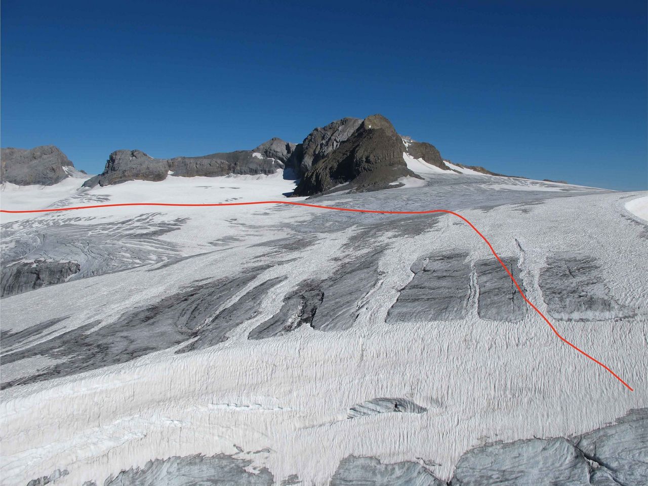
Variant: Lower (southern) route over Hüfifirn
Descend from the Planurahütte westwards onto a lower plateau of the Hüfifirn, cross this and climb back up the opposite side where the least crevasses are, to gain the gentle slope which leads to the Chammilücke (about the same amount of time as normal route). A good option with skis - more turns!
Descent
Follow the Route of Ascent.
Additional information
- Departure and arrival point
-
-
- Time
-
The time depends heavily on the snow conditions. In normal conditions, it pays to start the tour in the early morning hours, when the snow is more firm.
- Waypoints
-
-
-
Meist biegt man bereits vor dem tiefsten Punkt der Chammlilücke nach Westen ab.
-


