![[Translate to English:]](/fileadmin/Der_SAC/Unserer_Partner/CSS_cyan_rgb.svg)
From Sulwald via Suls alp (Normal route) Höji Sulegg 2413 m
-
- Difficulty
- PD+
-
- Ascent
- 2:30–3 h, 890 m
-
- Descent
- 1330 m
-
- Exposure
- E
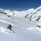
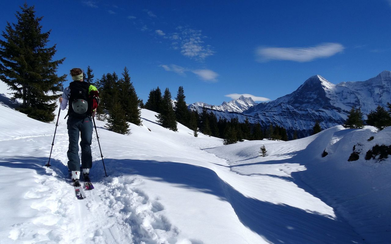
This interesting, sunny ski tour has only one setback: the rough trail through Guferwald is narrow and challenging. Aside from these 200 metres of vertical height, Höji Sulegg offers an interesting adventure with a long descent, provided that there is sufficient snow down to the Lauterbrunnen valley.
Route description
Sulwald - Suls alp - Höji Sulegg
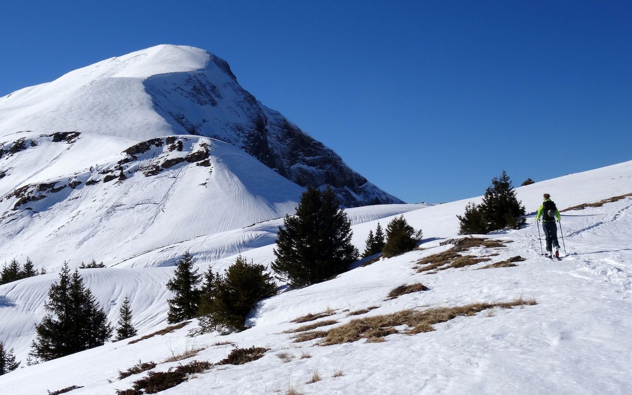
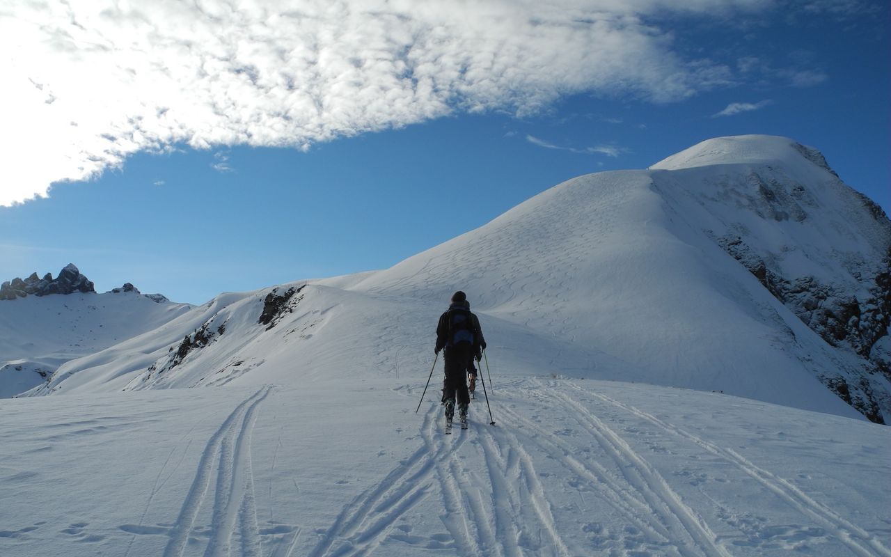
From the Sulwald summit station of the aerial cableway (ca. 1520 m) ascend south-westward on the summer trail through Guferwald to reach a flat terrace on the forest edge (ca. 1800 m). The following stretch along the Sulsbach to the Suls alp (1900 m) is precarious due to the north-facing slopes of Ars. If the avalanche situation is critical, follow the stakes on the right-hand side (north), which mark the bypass of the precarious stretch. Now ascend to the depression north-west of Sulsseewli, either via the Suls alp or on a picturesque detour to Lobhornhütte (1954 m). Continue northward to reach the Chüematta shoulder. Here, turn south-westward, overcoming a short escarpment, to reach Schärihubel (2124 m). Follow the east ridge to Höji Sulegg (2413 m).
Descent to Isenfluh
On the ascent; it is difficult and rough through Guferwald until you meet the forest road at ca. 1690 m. Now on this wide forest road descend easily to the sledging run and continue to the bus stop at Isenfluh (1081 m) via Bockstett (1241 m)
Descent to Lauterbrunnen
If there is sufficient snow, continue to descend on the old road to the Lauterbrunnen railway station (796 m).
Additional information
- Departure point
-
Sulwald (1520 m)
-
- Remarks
-
The lower part of the descent is painstaking due to the narrow, rough passage through Guferwald.
- Waypoints
-
A short detour brings you to Lobhornhütte (1954 m).
-
-
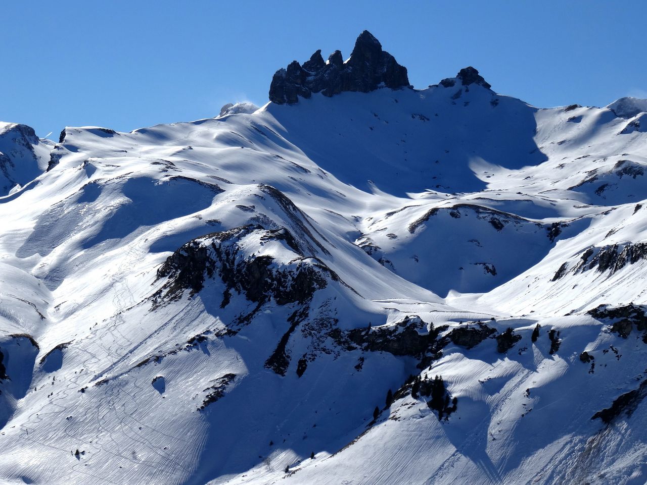
An alternative summit in case the conditions are not good enough for Höji Sulegg.
-
-
Lauterbrunnen, Bahnhof (796 m)
Descent to the railway station, if there is sufficient snow.
-
- Route number
-
285a