![[Translate to English:]](/fileadmin/Der_SAC/Unserer_Partner/CSS_cyan_rgb.svg)
From Engstligenalp Lohnerhütte SAC 2171 m
-
- Difficulty
- T5-
-
- Ascent
- 3:30 h, 740 m
-
- Descent
- 530 m
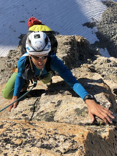
A challenging alpine hike to the Lohnerhütte beneath the mighty Lohner massif. Often exposed. Surefootedness and a head for heights are prerequisites.
Route description
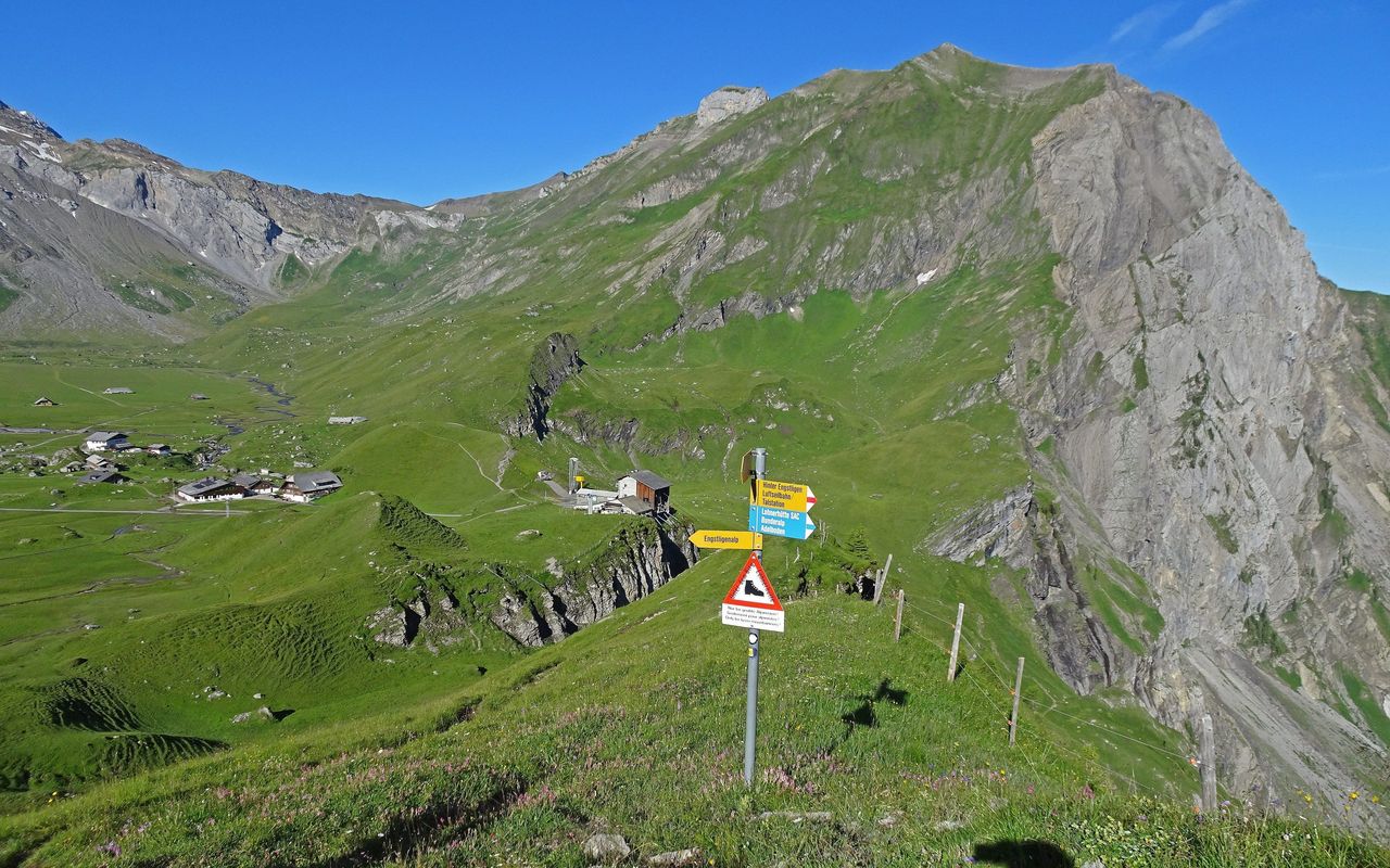
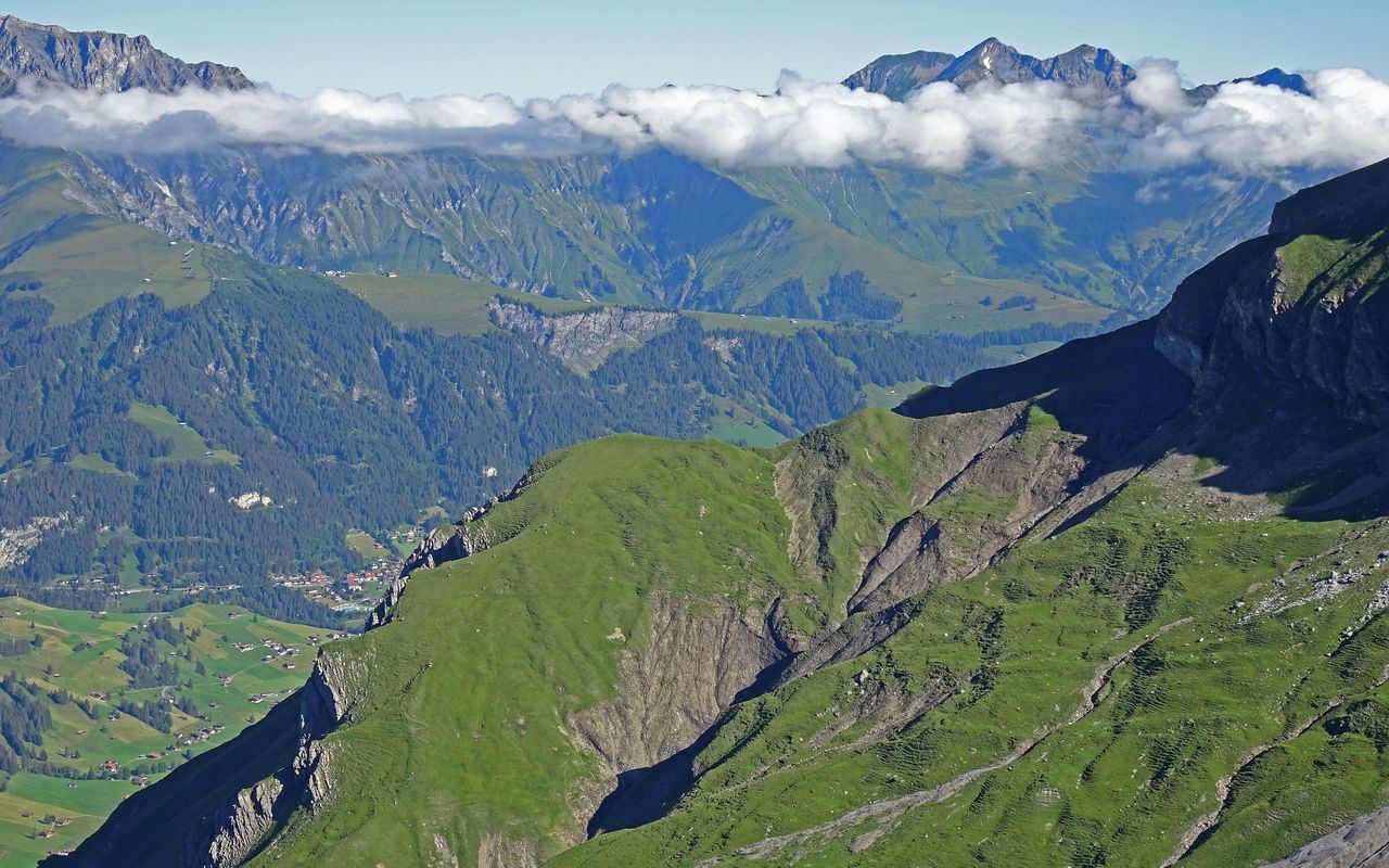
Engstligenalp – Luser
From the top cable car station at Engstligenalp (1962 m) follow the path first down to Alp ärtele. Continue over the Mäntelebach (stream) and then climb steeply northwards to the Luser.
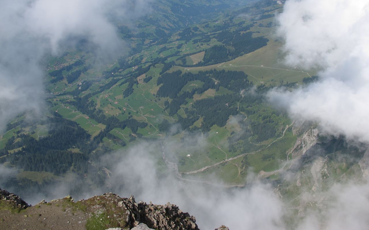
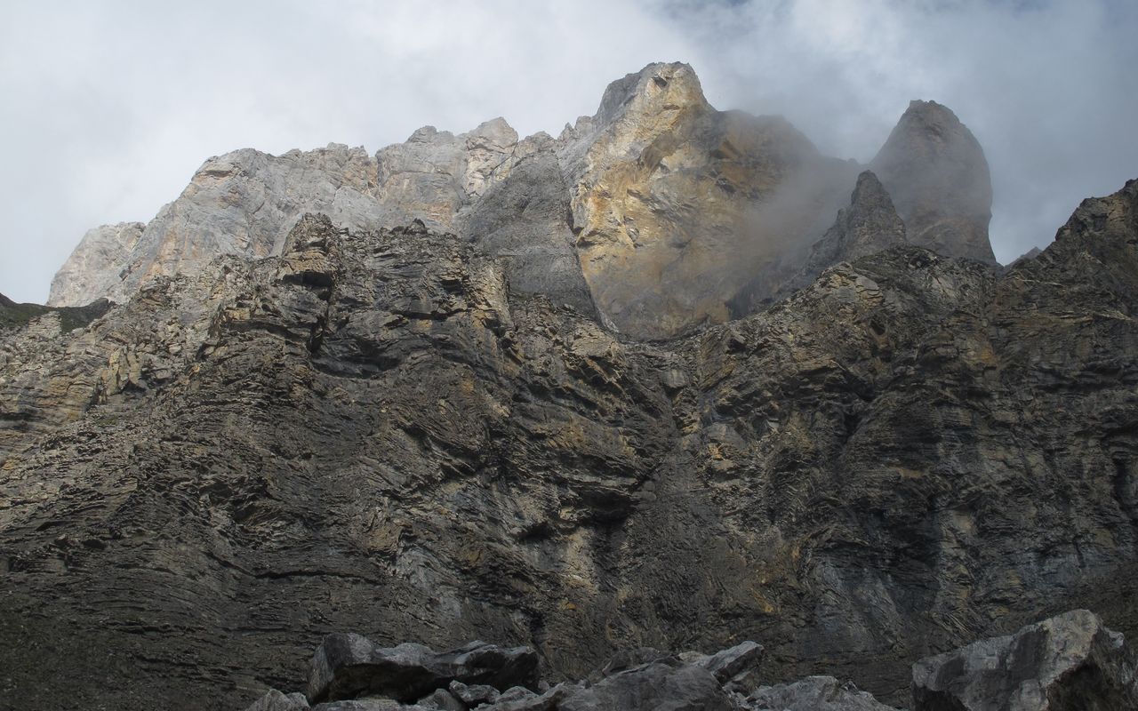
Luser – Witi Chume – Lohnerhütte
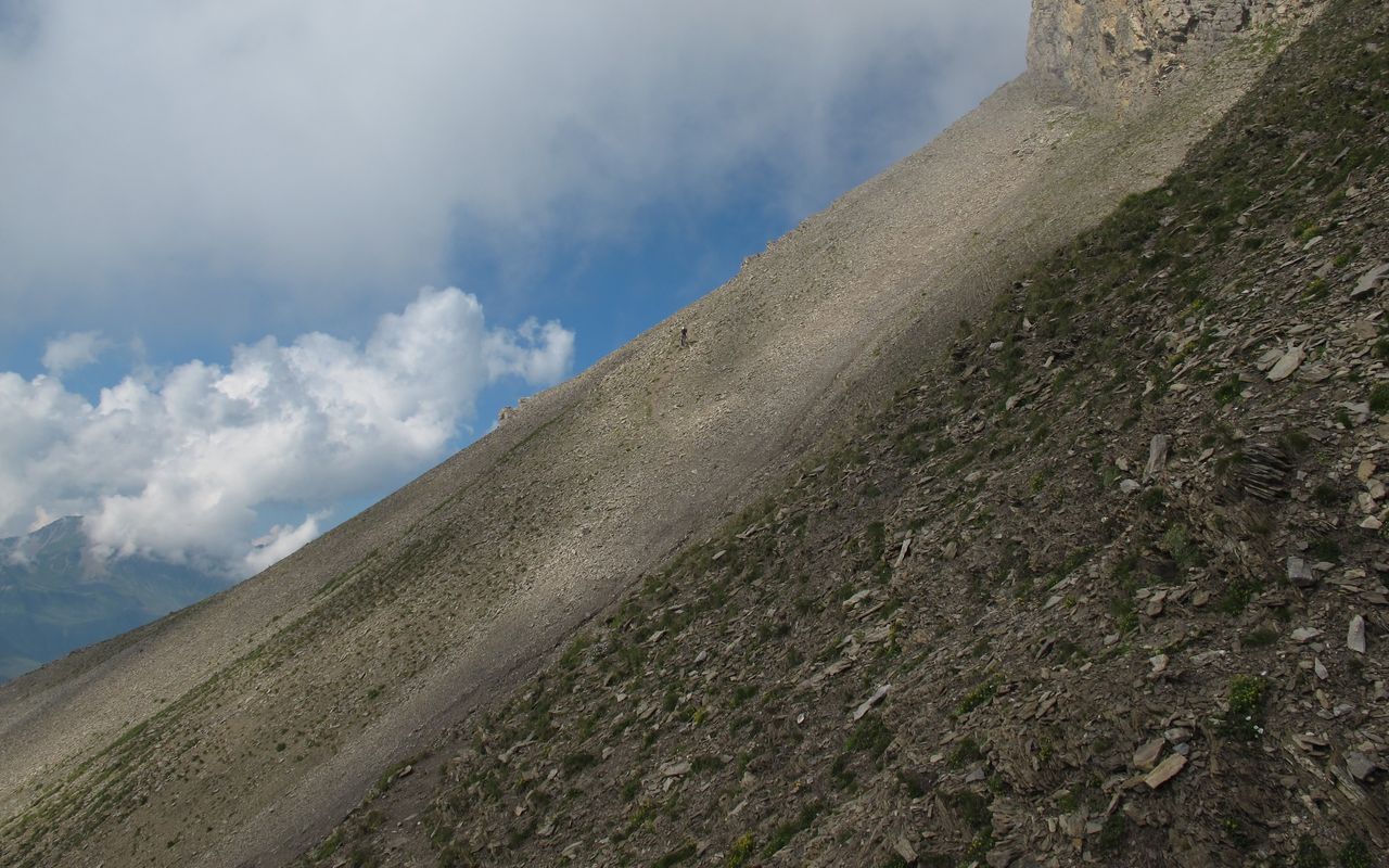
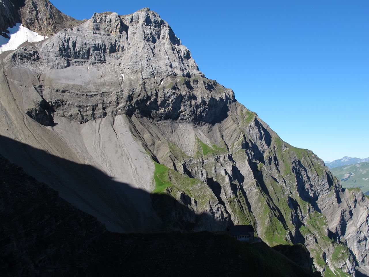
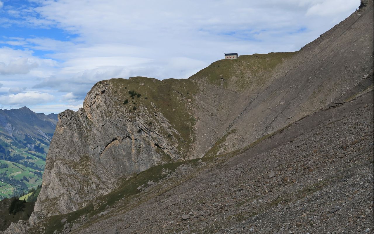
The traverse of the Lohner's W flank begins by contouring round the top of the Luserbleika ampitheatre at approx. 2200 m. More contouring, a few ups and downs with exposed passages, and a gentle ascent leads to the NW ridge of the Mittaghore (memorial plaque). A delicate descent, and traverse beneath the rocks brings you to the scree slopes of the Witi Chume. Follow a zig-zag descent down the western edge of the Witi Chume to a flattening at approx. 2080 m (do not be tempted by the higher out-of-date route as seen on the SwissTopo map from 2006). Contour once more alone the base of the Witi Chume, then finally ascend once more to the striking, grassy spur on which the Lohnerhütte stands.
Unter dem Birg – Ärtele
It is also possible to ascend directly from the valley station at "Unter dem Birg" to Ärtele. Follow the mountain path first north, then eastwards up through the forest to P. 1498. From here continue up to and follow a band rightwards through the western flank of the Luser and up to P. 1955 where you may join the normal route.
Additional information
- Departure point
-
Engstligenalp (1962 m)
Mountain station of the cable car Unter dem Birg – Engstligenalp. Further information at: www.engstligenalp.ch
-
- Time
-
From "Unter dem Berg" 1hr longer.
- Difficulty / Material
-
Exposed sections. The route is not recommended in wet or rainy weather!
- Waypoints
-
Wird überschritten.
-
-
Adelboden, Unter dem Birg (1399 m)
Start point of the variant
-