![[Translate to English:]](/fileadmin/Der_SAC/Unserer_Partner/CSS_cyan_rgb.svg)
Petersgrat 3194 m Route archive
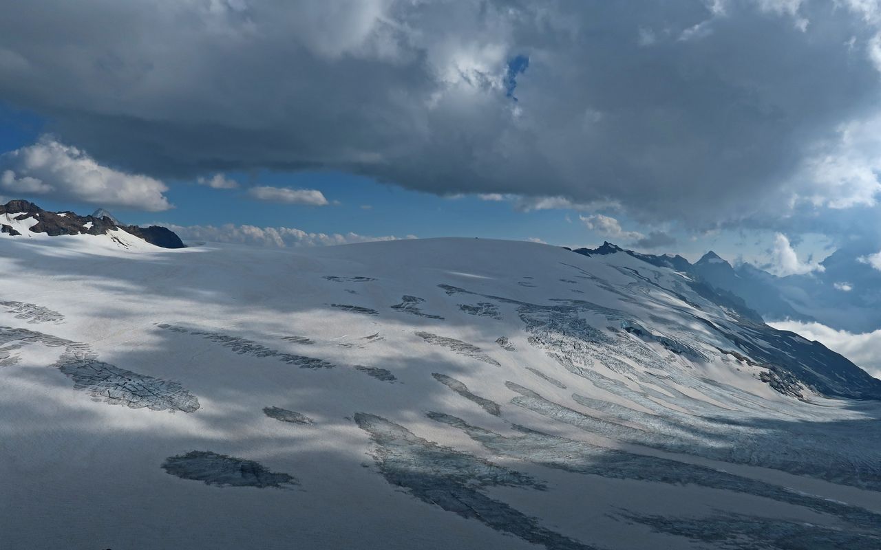
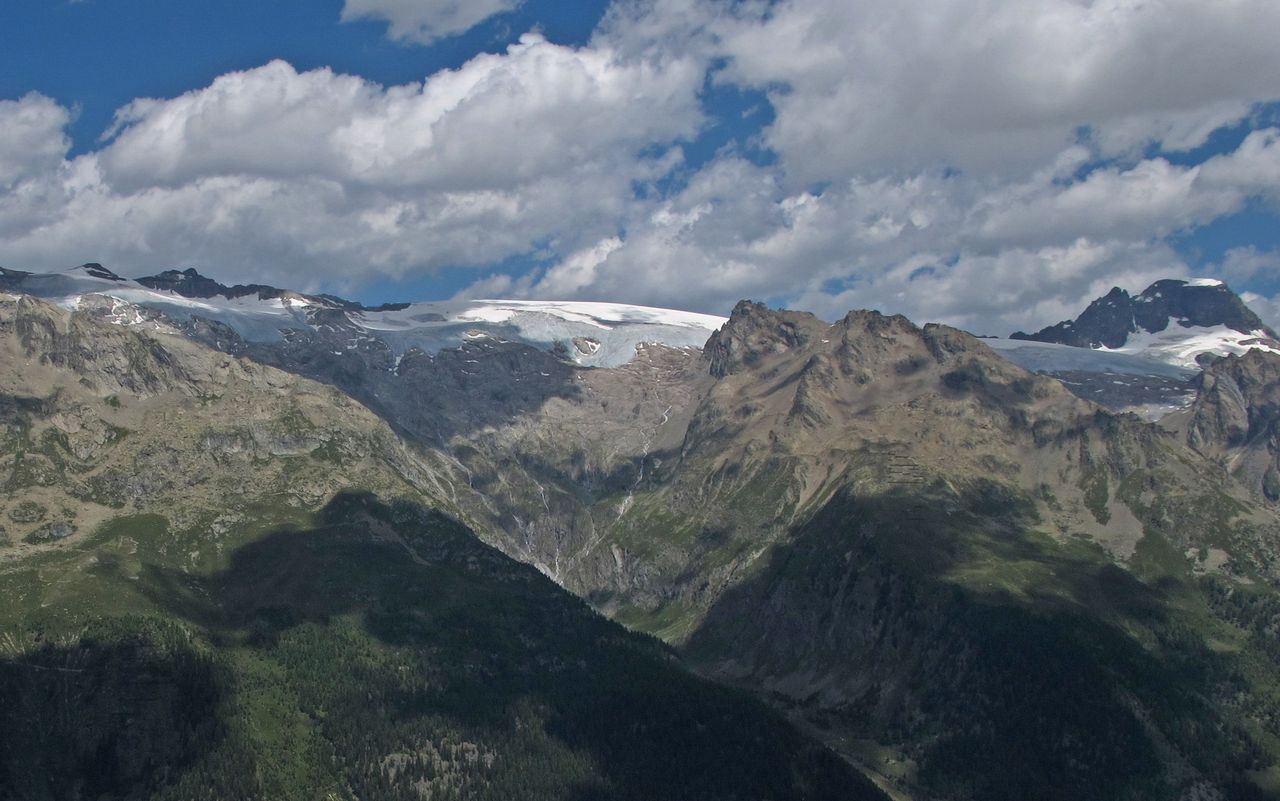
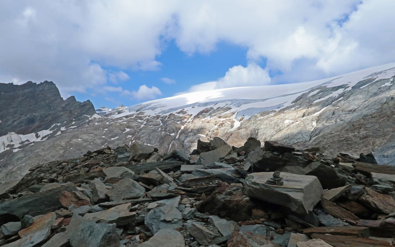
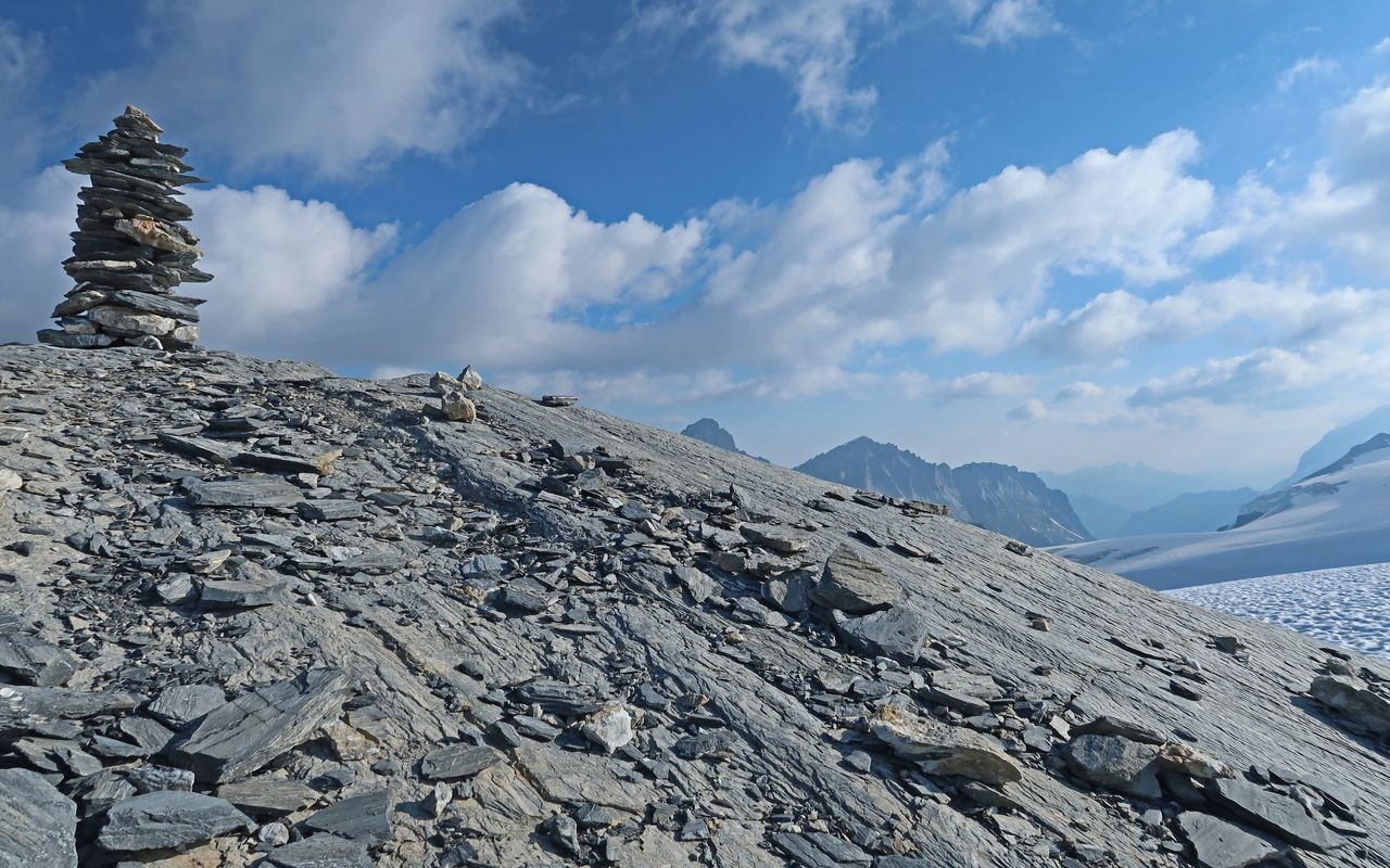
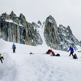
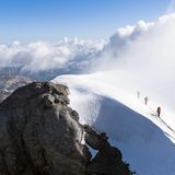
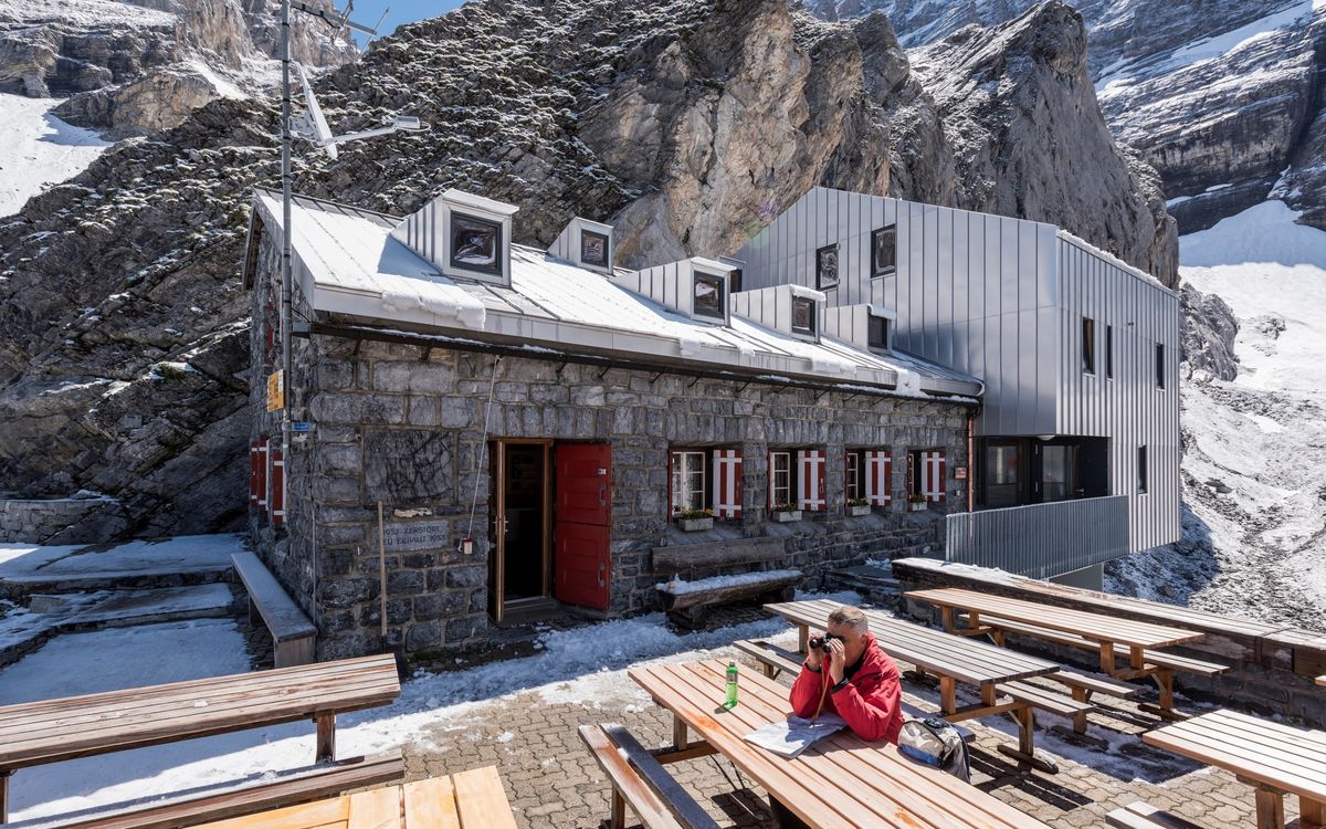
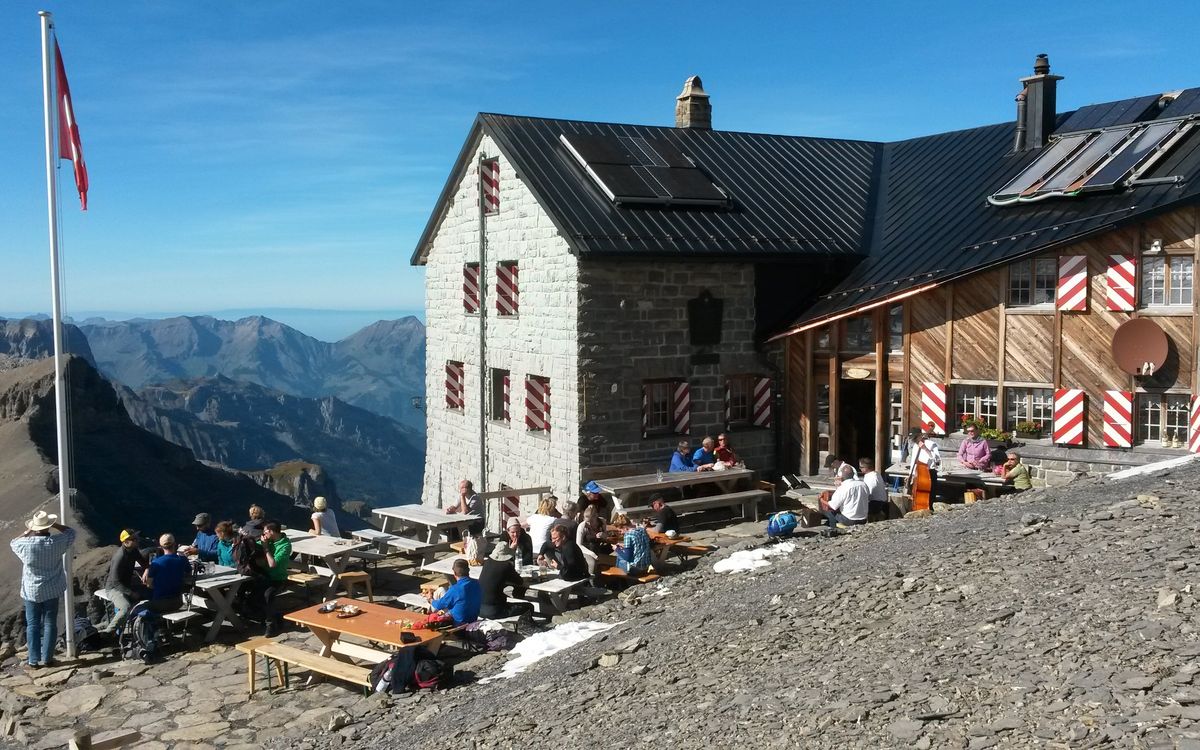
A beautiful glacier humpback-ridge separating Lötschental in the south and the Kanderfirn glacier in the north. Extending from the Rote Tatsch (southwest) to the foot of the Tschingelhorn (northeast). This incredible vantage point is easily accessible both from the Mutthornhütte, as well as from the Gastere- or Lötschental (valleys) and is regularly visited in the context of 'glacier hiking'. Most often done in summer from the Mutthorn hut. See approach routes for the Mutthornhütte.
Also an official mountain landing place for aircraft.
The first crossing (from Lauterbrunnen to Lötschental) was made by S. Benz, J. Böhlen, A. Pfefferli, P. Ruditier, 12 July 1783.