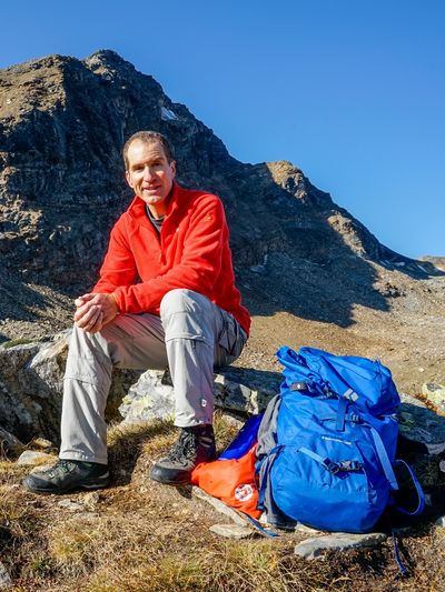
North ridge | Mountain hiking | Swiss Alpine Club SAC
Unterstütze den SAC Jetzt spenden

North ridge (Normal route) Piz Amalia 2917 m

  • Difficulty
    T4
  • Ascent
    4:15 h, 1130 m
  • Descent
    2:45 h, 1130 m

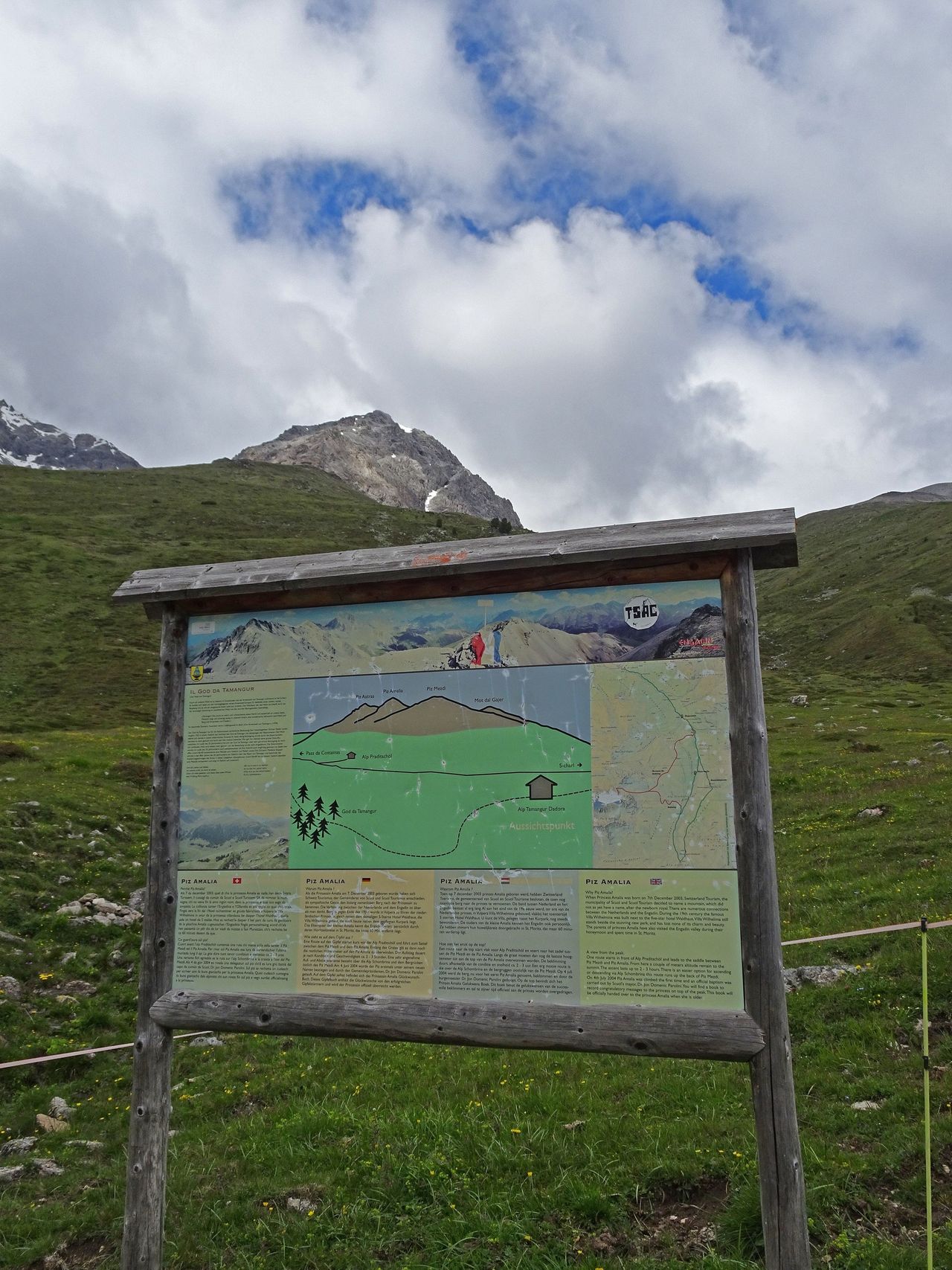
Dedicated to Princess Amalia of the Netherlands

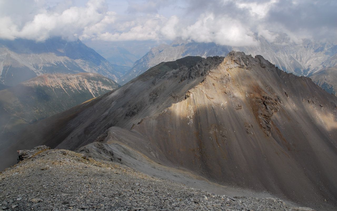
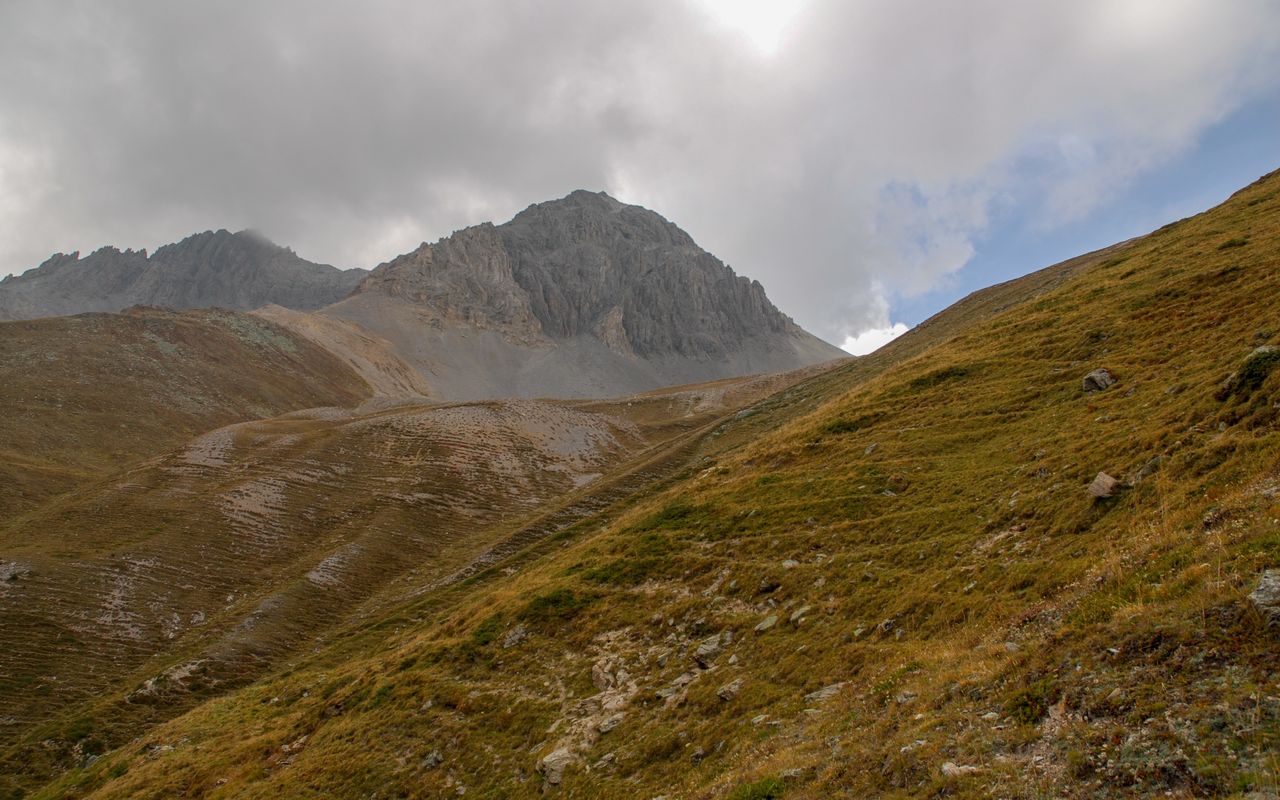
The mountain’s name is not official, but the result of a PR campaign in the summer of 2004, which aimed at tightening the bonds of Engadine with the Netherlands in an unusual way. Princess Amalia had been born shortly before, namely in December 2003. In any case, climbing the mountain is worthwhile. Seen from Val S-charl, Piz Amalia makes a deep impression with its unwelcoming rock faces, but over the north ridge the summit is quite easy to hike to.

Route description

S-charl – Alp Praditschöl
From S-charl follow the gravel path further into Val S-charl towards Alp Astras. For the first four kilometres you stay on the eastern bank of the Clemgia. It is not before P. 2019 (bridge) that you cross the creek. Continue to a bifurcation south of Alp Praditschöl. That is where you find benches to sit on and a board with information about Val S-charl and Piz Amalia, which also features a trail map. To continue the ascent (no markings), hike right ca. 200 m on the trail towards Alp Praditschöl.
Alp Praditschöl – Piz Amalia and descent to S-charl
Before Alp Praditschöl leave the trail and ascend in the fall line on grassy slopes to a distinct rib to the right of a nameless ditch of a creek. On the rib there are faint paths or cattle tracks. Towards the end of the rib keep slightly to the right, where you can ascend north-westward on grassy slopes, sometimes rather steeply, but quite comfortably. From ca. 2550 m keep more to the left. You now have Piz Amalia right before your eyes; with its interesting vertically striped rock structure it seems inaccessible. In the valley between Piz Amalia and Piz Mezdi two terraces at ca. 2590 m and 2650 m are clearly distinguishable. Traverse slopes with grass and fine rubble to the upper terrace. On this terrace a short stretch of rather unpleasant scree must be overcome. The ascent to the saddle between Piz Mezdi and Piz Amalia (P. 2771) is slightly left of the valley floor, at the end on a distinct path. The path leads to the north ridge and up to the summit. Caution is advised in a few slippery passages, where the slabs are covered with fine rubble.

Additional information

Departure and arrival point

S-charl (1808 m)

Busbetrieb nur im Sommerhalbjahr. Im Winter verkehren Pferdeschlitten.

Difficulty / Material

The trail from Val S-charl is marked white-red-white. From Alp Praditschöl the ascent is mainly pathless and unmarked. It leads on steep grass and scree slopes. Below the summit a faint path reappears, but some passages on rubble are slippery, which require sure-footedness. According to information from tourers, the summit (north) ridge is subject to severe erosion. Therefore, greater difficulties are to be expected in the future.

Neighbor summit

Mot dal Gajer (2797 m)

Mot dal Gajer (2796.6 m): on the eastern exit of S-charl go southward across the bridge, then through the forest to Ils Mürs (marked so far). Continue on faint paths (intermittent) via Mot Mezdi to the summit. 2¾ h ascent, 1¾ h descent, T3. Gajer means „vulture“. Maybe bearded vultures lived there or were hunted in former times.

Mot Tavrü (2420 m)

From S-charl follow the road ca. 500 m towards the mining museum Schmelzra. Shortly before the museum branch off left across the bridge and ascend through Val Tavrü to ca. 2030 m, then on the east face to Alp Tavrü and on to the south ridge. Follow this ridge to the summit. There are white-red-white markings and a path until the summit. The summit ridge marks the border to the Swiss National Park, which may not be crossed unless there is a trail. 2½ h ascent, 1¾ h descent, T2.

Author

Fredy Joss

Sabine und Fredy Joss

Alpine hiking, climbing and other mountain sports Sabine and Fredy Joss's passion. They have been writing and photographing for the SAC publishing house and the club magazine Die Alpen for many years. Sabine is also a biologist and tour guide; Fredy a proofreader and editor for various magazines.

Our recommendations

SAC-Crocs

Equipment

SAC-Crocs

Price CHF 59.00
Member price CHF 49.00
Tourenportal/App-Abo Jahreszahlung

Subscription to the SAC Route Portal

Tourenportal/App-Abo Jahreszahlung

Price CHF 49.00
SAC-Hütten-Monopoly

At home

SAC-Hütten-Monopoly

Price CHF 69.90
Member price CHF 60.00
Graubünden Süd

Skitouren

Graubünden Süd

Price CHF 44.00
Member price CHF 34.00
SAC-Taschenmesser

Equipment

SAC-Taschenmesser

Price CHF 54.00
Member price CHF 49.00
Familienausflüge zu SAC-Hütten

Hütten

Familienausflüge zu SAC-Hütten

Price CHF 54.00
Sales price CHF 20.00
Ausbildung Bergwandern / Alpinwandern

Ausbildung

Ausbildung Bergwandern / Alpinwandern

Price CHF 59.00
Member price CHF 49.00
Hütten der Schweizer Alpen / Cabanes des Alpes suisses

Bildbände

Hütten der Schweizer Alpen / Cabanes des Alpes suisses

Price CHF 69.00
Member price CHF 59.00
feedback