![[Translate to English:]](/fileadmin/Der_SAC/Unserer_Partner/CSS_cyan_rgb.svg)
Pizzo Tambo 3279 m Route archive
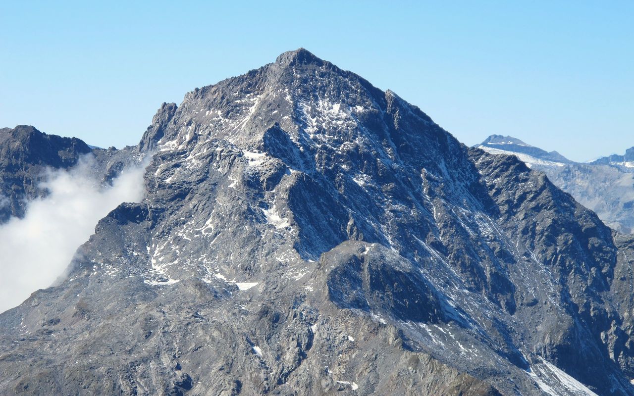
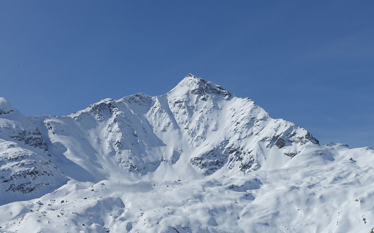
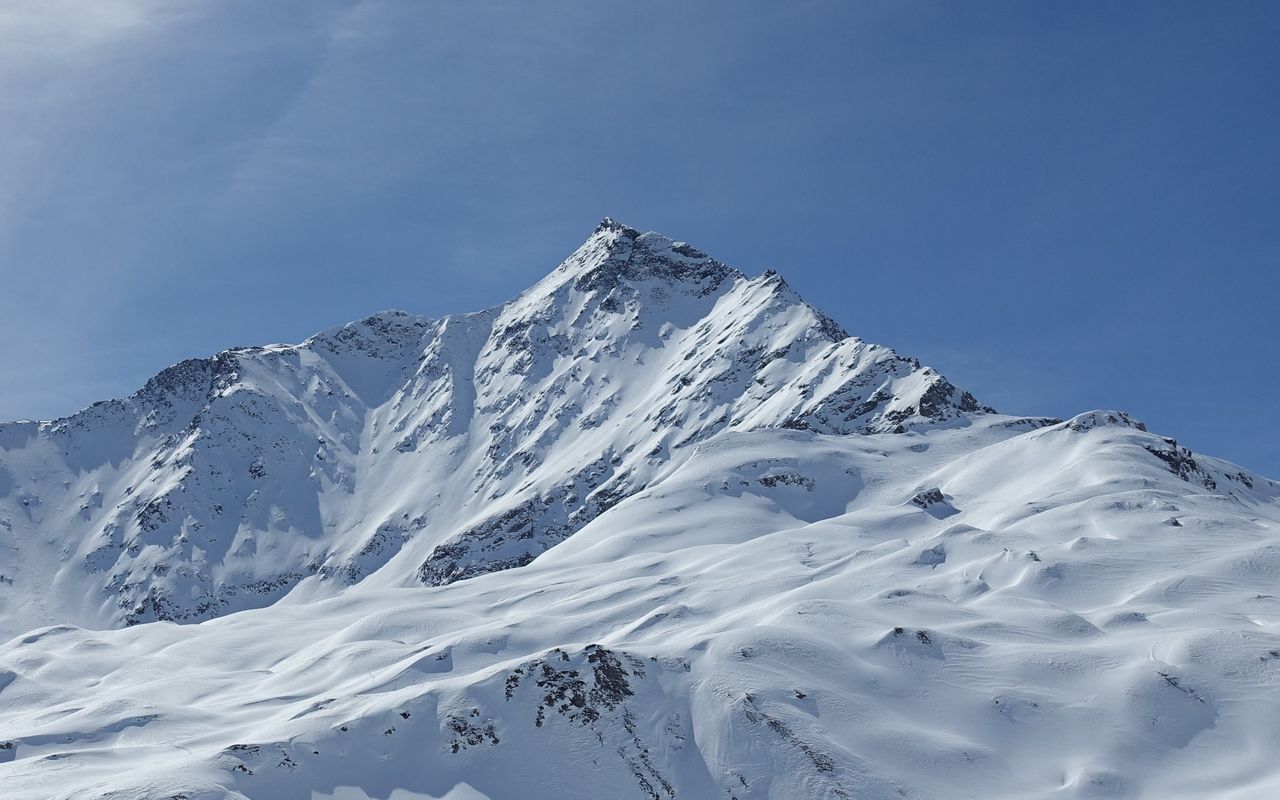
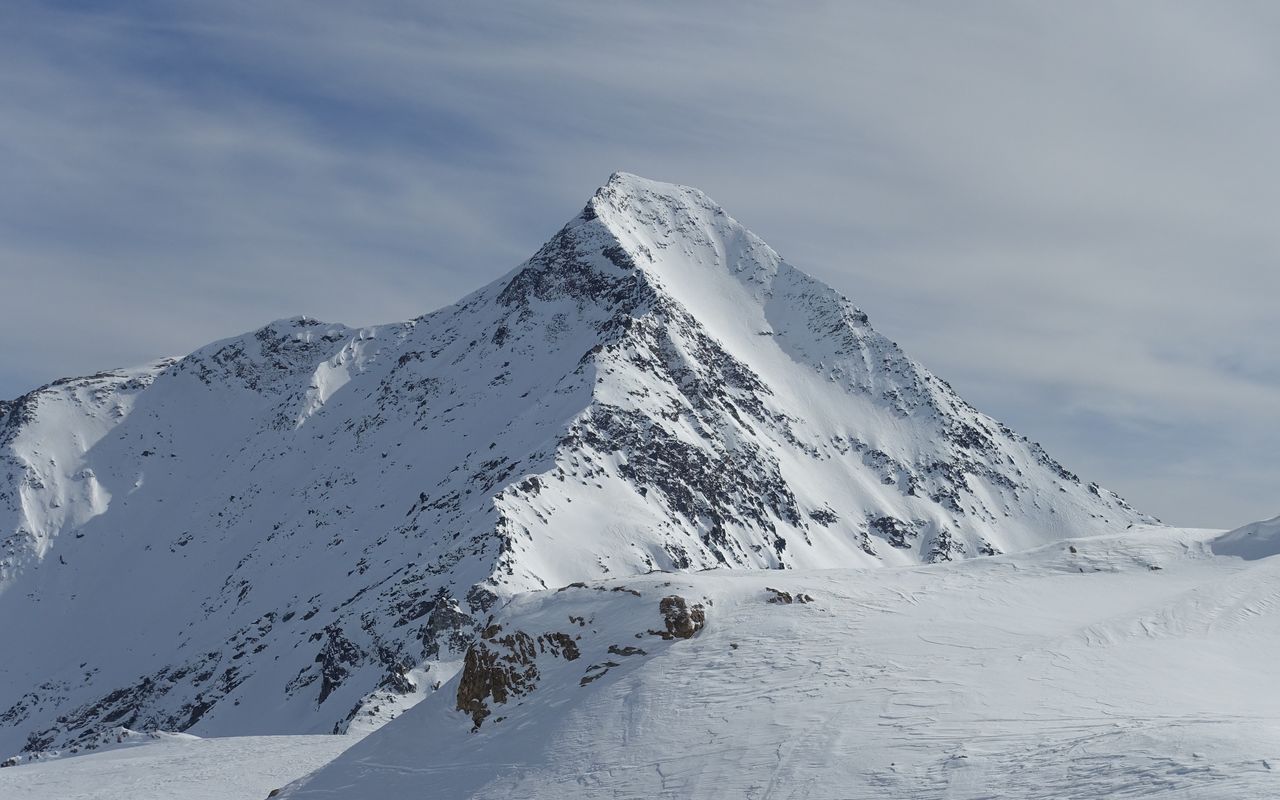
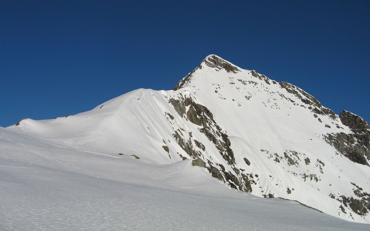
The Pizzo Tambo, a four-sided (especially from the northeast well-proportioned), magnificent pyramid, is the highest point in the long chain between the Mesolcina (Misox) and the Italian Val San Giacomo. Imposing is the drop on its western side: over 1300 m down into the Val Curciusa. The summit itself is a short, north-east to south-west trending ridge with two listed points: the northeast summit (p. 3279) carries the summit cross, the only slightly lower SW summit (p. 3274) a cairn. Three dwindling glaciers flank the summit: on the northeast side the Tambogletscher, in the hollow southeast of the summit: the "Vedretta della Spianata" (no name on the map) and in a cauldron under the west wall the small Ghiacciaio del Tambo. The former Nufenen glacier between the north and northwest ridge, has completely disappeared.
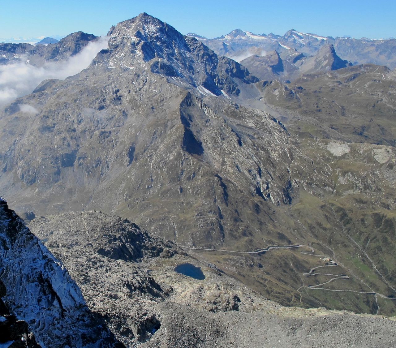
The view is famous for being one of the most extensive and beautiful in the Eastern Central Alps, due to its isolated position and the significant height of the mountain. Therefore and because of the high starting point at the Splügenpass, the Pizzo Tambo is frequently climbed both in summer and winter via its East Ridge. Other routes, e.g. the north ridge, are far less often climbed, not least because of their less accessible starting points.
First known ascent by a tourist: Johann Jakob Weilenmann with a guide, July 1859.