![[Translate to English:]](/fileadmin/Der_SAC/Unserer_Partner/CSS_cyan_rgb.svg)
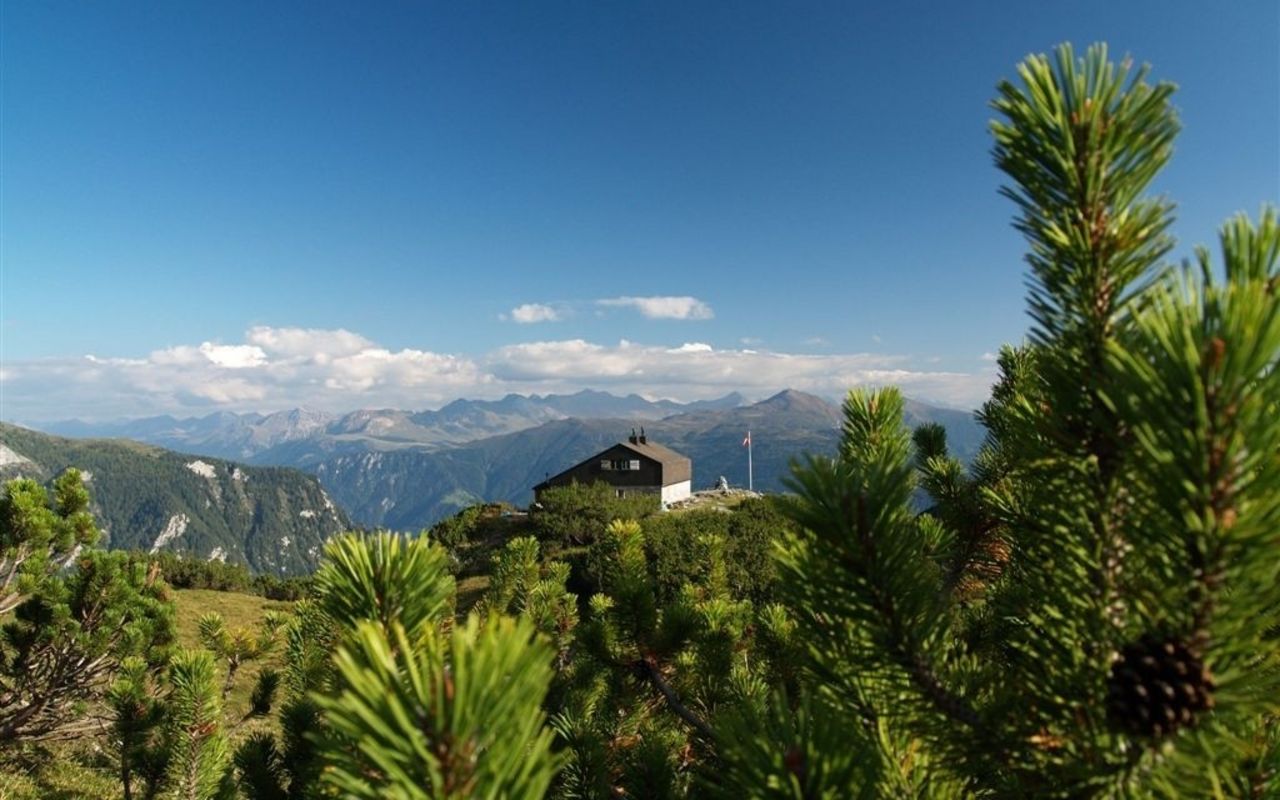
From Vättis via Grossalp (Normal route) Ringelspitzhütte SAC 2000 m
-
- Difficulty
- T2
-
- Ascent
- 3:30 h, 1060 m
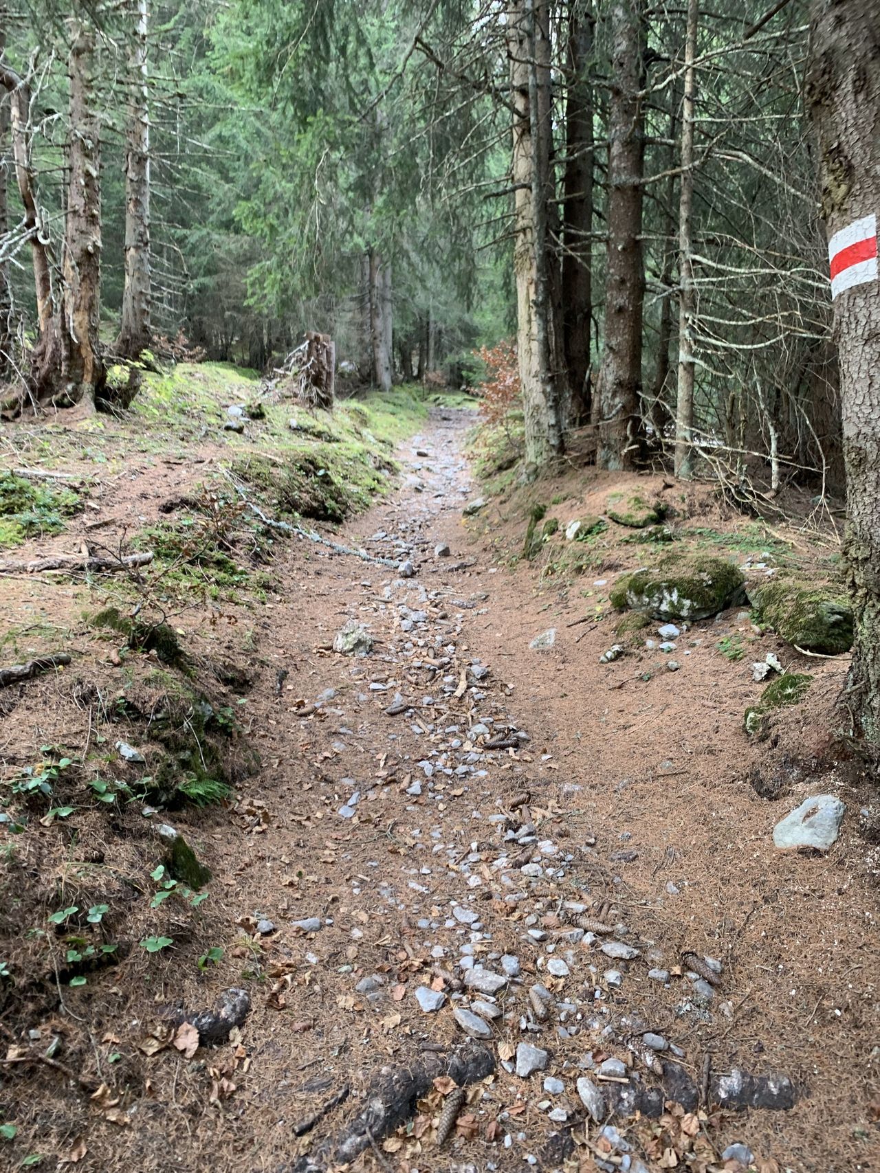
The normal approach to the Ringelspitzhütte leads via Kunkelspass, which can also be reached from Tamins. Langwis or to the Kunkelspass itself can be reached by car (permit required for Kunkelspass, App "Easy Park" or SMS). The hike leads from Kunkelspass through the mountain forest, later over the alpine areas of the Grossalp. You can also easily ride your bike up to here, and experienced bikers can also reach the hut terrace via the hiking trail.
Route description
Additional information
- Time
-
Langwis car park (1063m) is reachable without a permit (time saving of just under an hour). A permit is required if driving to Kunkelspass (time saving 1½ hrs).
This is available via App EASY Park or SMS service or from the municipal administration in Tamins.
- Waypoints
-
Kunkelspass (1358 m)
Treffpunkt der Hauptroute von Vättis und der Variante von Tamins.
-