![[Translate to English:]](/fileadmin/Der_SAC/Unserer_Partner/CSS_cyan_rgb.svg)
From the Schönbielhütte via the Stockjigletscher (Normal route) Tête Blanche 3706 m
-
- Difficulty
- PD, I
-
- Ascent
- 5–6 h, 1218 m
-
- Descent
- 211 m
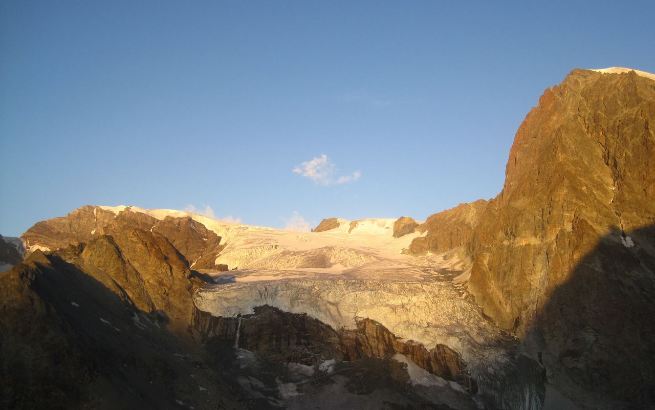
The normal route from Schönbiel leads east past Stockji to P. 3040 and then over the Stockjigletscher to the summit.
Route description
Schönbielhütte - Stockji (P. 3040)
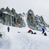
From the Schönbielhütte (2694 m) take the lower western path and descend into the glacial hollow, move south (downhill) across the glacier to reach the opposite bank beneath the rocks of P. 2938. When the slope aspect changes from NE to SE, follow tracks west, up onto the moraine ridge. This safe path onto the moraine ridge starts roughly 100 m left (east) of it, and can be hard to find in the dark. So pay attention! (At least half an hour to this point) At the end of the moraine ridge, the path climbs, through some debris fields and up over several short rocky steps to the saddle at 3040 on Stockji. Cairns lead the way along the last section; if you lose it in the dark, you better retrace your steps. Otherwise you can get into trouble and lose a lot of time. From the saddle (3040 m) drop dow onto the heavily crevassed Stockjigletscher.
Stockji (P. 3040) - Tête Blanche
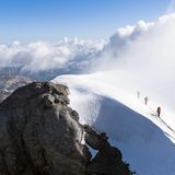
First head west, then arc north towards the Wandfluejoch (3443 m) onto a small plateau. From here move southwest past P. 3346, then gradually west to reach the steep firn slope below the Col de la Tête Blanche. The big crevasses ca. 3500 m are best bypassed - if there is enough snow - to the right (north). If this is not possible, you must pass the crevasse zone further south, reaching the plateau of Col de Valpelline, before cutting back NE onto the obscure hummock of Col de la Tête Blanche (not a pronounced col / saddle). You are now at an altitude of 3589 m, 4 hours.
From here bear gradually south (left) to the Tête Blanche (3710 m), 1 hour.
Descent
Follow the route of ascent.
Additional information
- Departure point
-
-
- Waypoints
-
-
- History
-
Gottlieb Lauterburg, Gottlieb Studer, Melchior Ulrich with mountain guides Anton und Josef Biner, Niklaus Inderbinen and Johann Madutz, 15. August 1849.