![[Translate to English:]](/fileadmin/Der_SAC/Unserer_Partner/CSS_cyan_rgb.svg)
From the Geltenhütte SAC via the Col du Brochet Wildhorn 3250 m
-
- Difficulty
- PD+
-
- Ascent
- 4:30–4:30 h, 1270 m
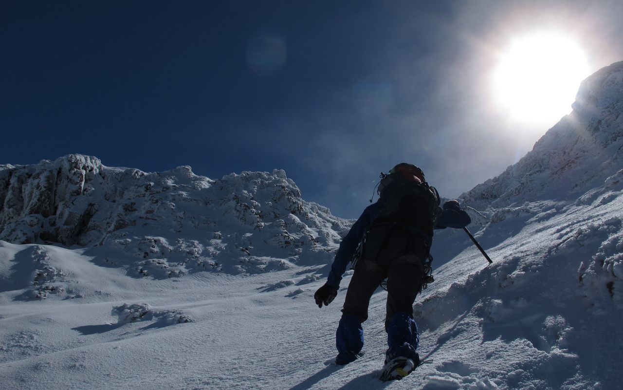
A varied, lengthy and interesting tour on the Wildhorn starting from the Geltenhütte and passing the Col du Brochet. The route at present involves a short glacier crossing below the Col du Brochet, though in a few years time this section of glacier may be gone. The route from the Geltenhütte is more challenging than the normal route from the Wildhornhütte and is much less frequented. As a well rounded tour, it is recommended to climb up this way, before descending the 'normal route' to the Wildhornhütte.
Route description
Geltenhütte - Rottal (valley)
From the Geltenhütte (2004 m), follow the path to the Arpelistock starting out northeast from the hut, then swing back southwest to enter the Rottal (Red Valley). After crossing the bridge northwest of P. 2057, follow the western edge of the Rottal. On good tracks follow a pronounced and grassy moraine up to a large flatter area.
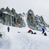
Rottal (Red Valley) - Gältegletscher
By the flatter areas, leave the grassy morraine and follow the tracks slightly descending to a trough and then climb up to P. 2425. A small step leads to a debris cone and the tracks lead from here eastwards through rocky slabs to gain the Galtegletscher above P. 2579.
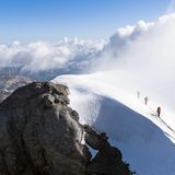
Gältegletscher - Col du Brochet / Gältelücke
Gain the Col du Brochet at the eastern end of the Gältegletscher in a gentle east to southeast arc.
Col du Brochet / Gältelücke - Wildhorn
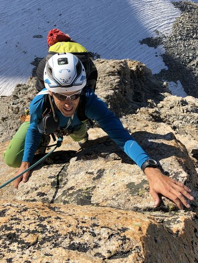
From the Col du Brochet follow clear tracks, skirting an initial rock band to the north before gaining the broad ridge leading up to the summit ridges. After moving up and left to the foot of the next major rock band (around 3080 m), cut back right for about 80 meters to meet a striking, yellow rock tower. Take the wide couloir on the left side of the tower. In the lower part of the following, vertical rock wall, two parallel ledges run northwards through the rock, separated by a two metre step. On the lower, scree-covered ledge, climb left to reach a couloir that leads up to the south ridge. You ascend in this couloir (tricky in the case of snow and icing) and finally cross right to a rocky outcrop (fixed cable, abseiling on descent). From the outcrop reach the south ridge and a large stone cairn. Thereafter easier ground leads up to the fore- and main summits.
Additional information
- Departure point
-
-
- Waypoints
-
-