![[Translate to English:]](/fileadmin/Der_SAC/Unserer_Partner/CSS_cyan_rgb.svg)
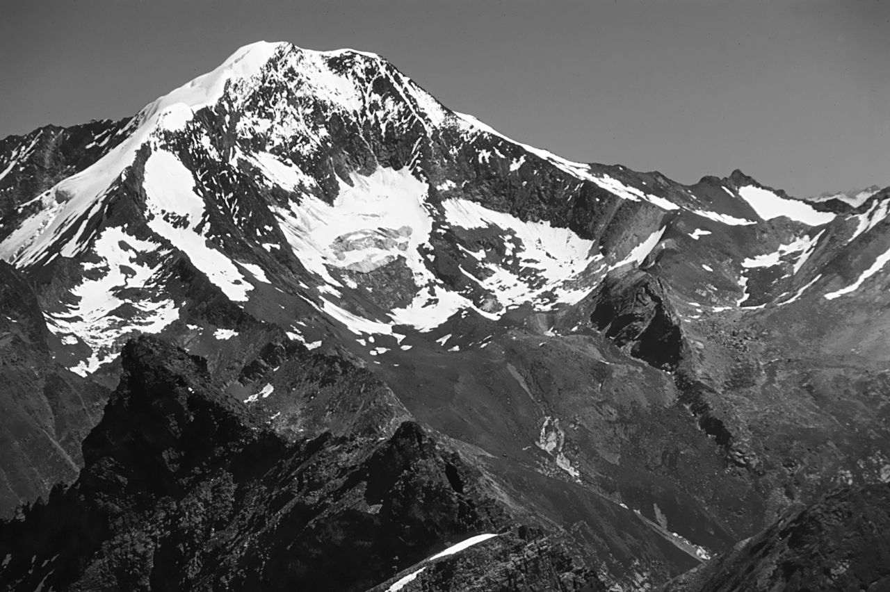
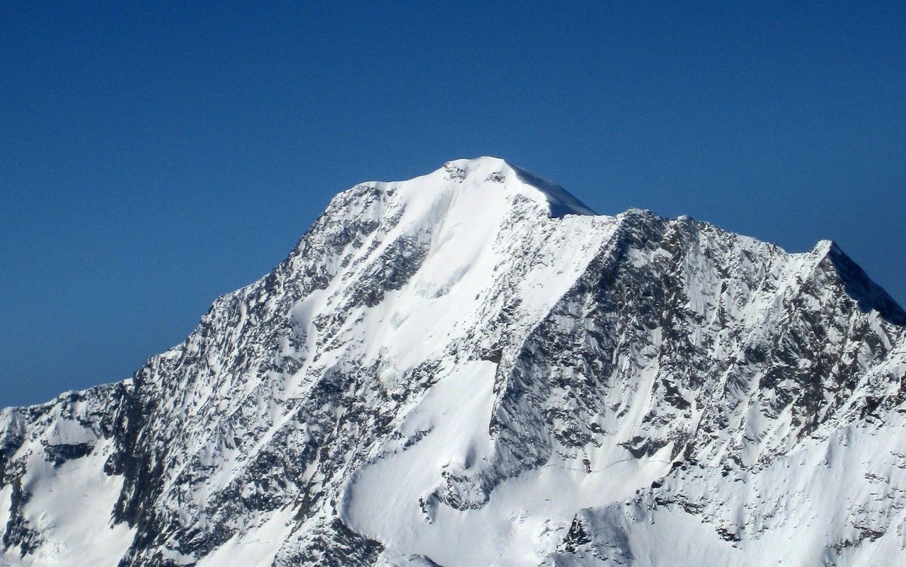
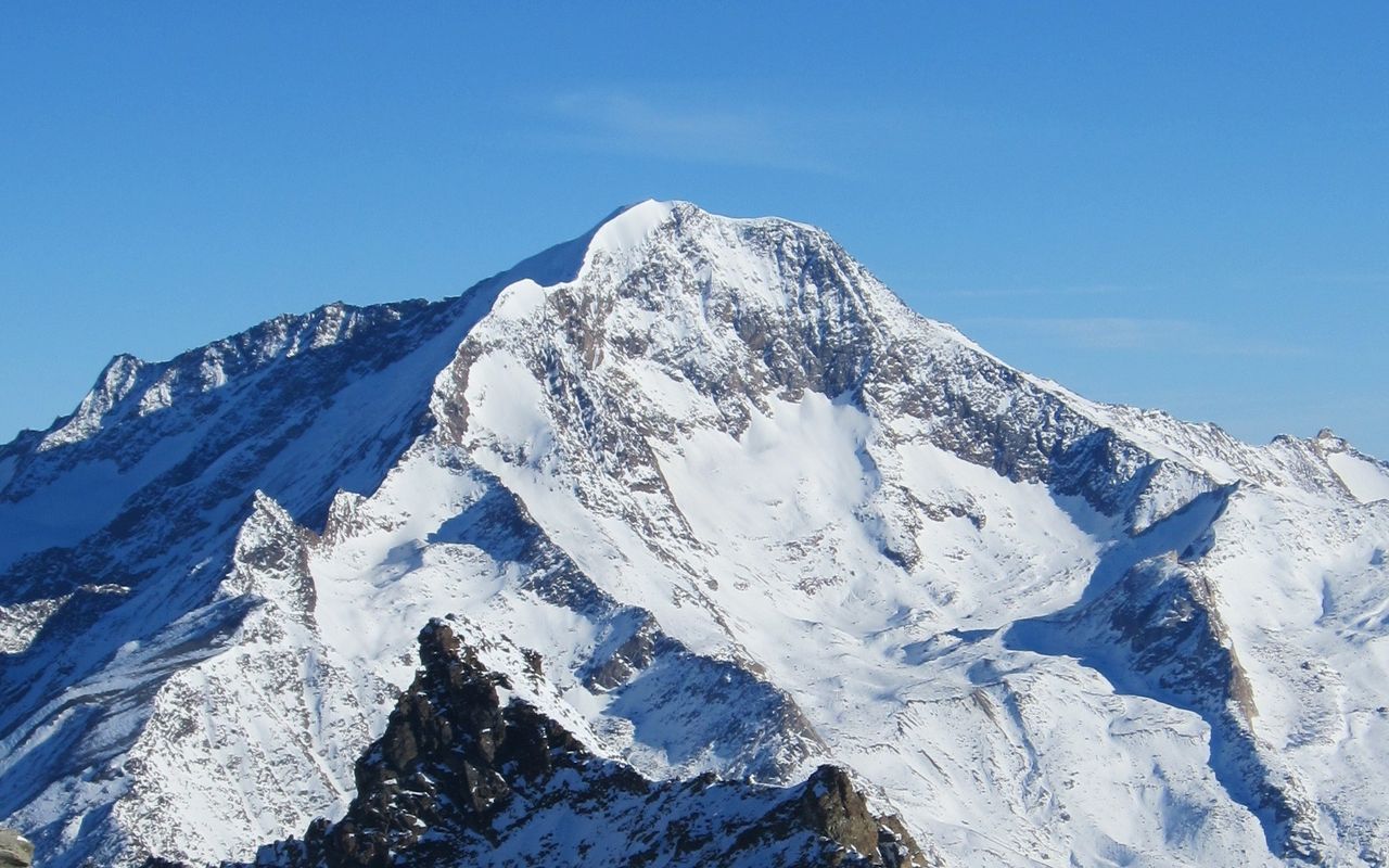
Weissmies 4017 m Route archive
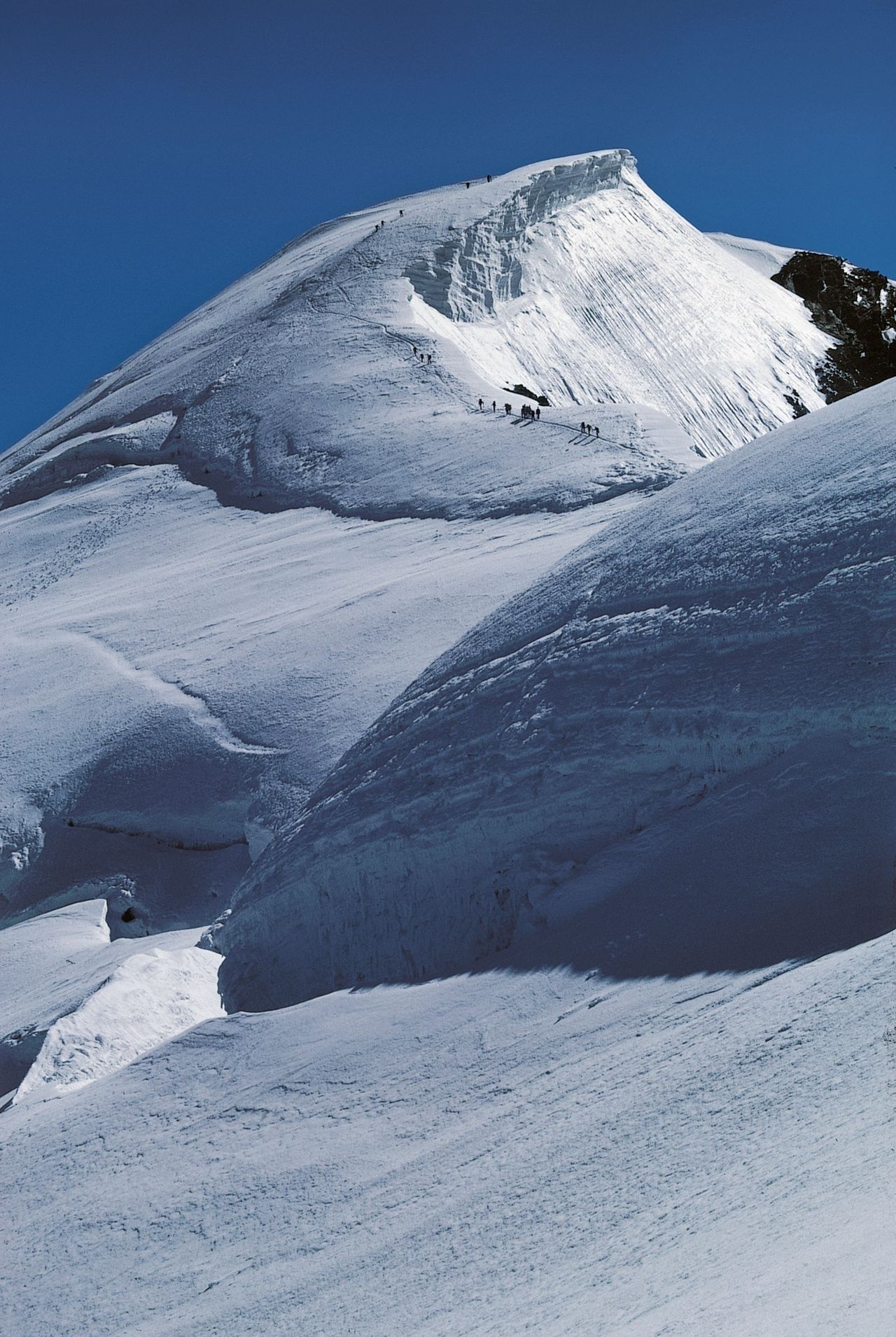
The highest point in a commanding Triumvirate of Wiessmies/Lagginhorn/Fletschhorn. Listed on new maps at a lower 4017 m, it was previously marked as 4023 m. These 6 metres of altitude loss are a result of the dramatic melting of the summit cap, which is entirely glaciated. Its not all bad: to balance the loss the cartographers have kindly added 7 metres to the SE Summit, taking it from 3965 m to 3972 m.
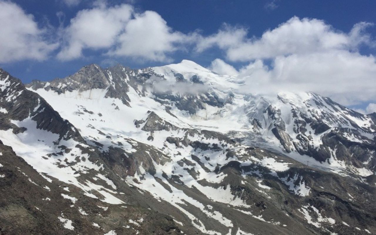
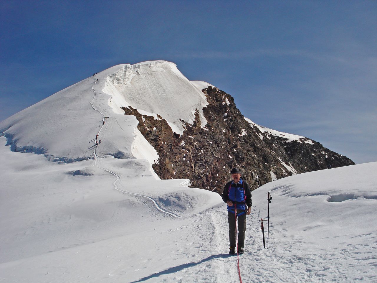
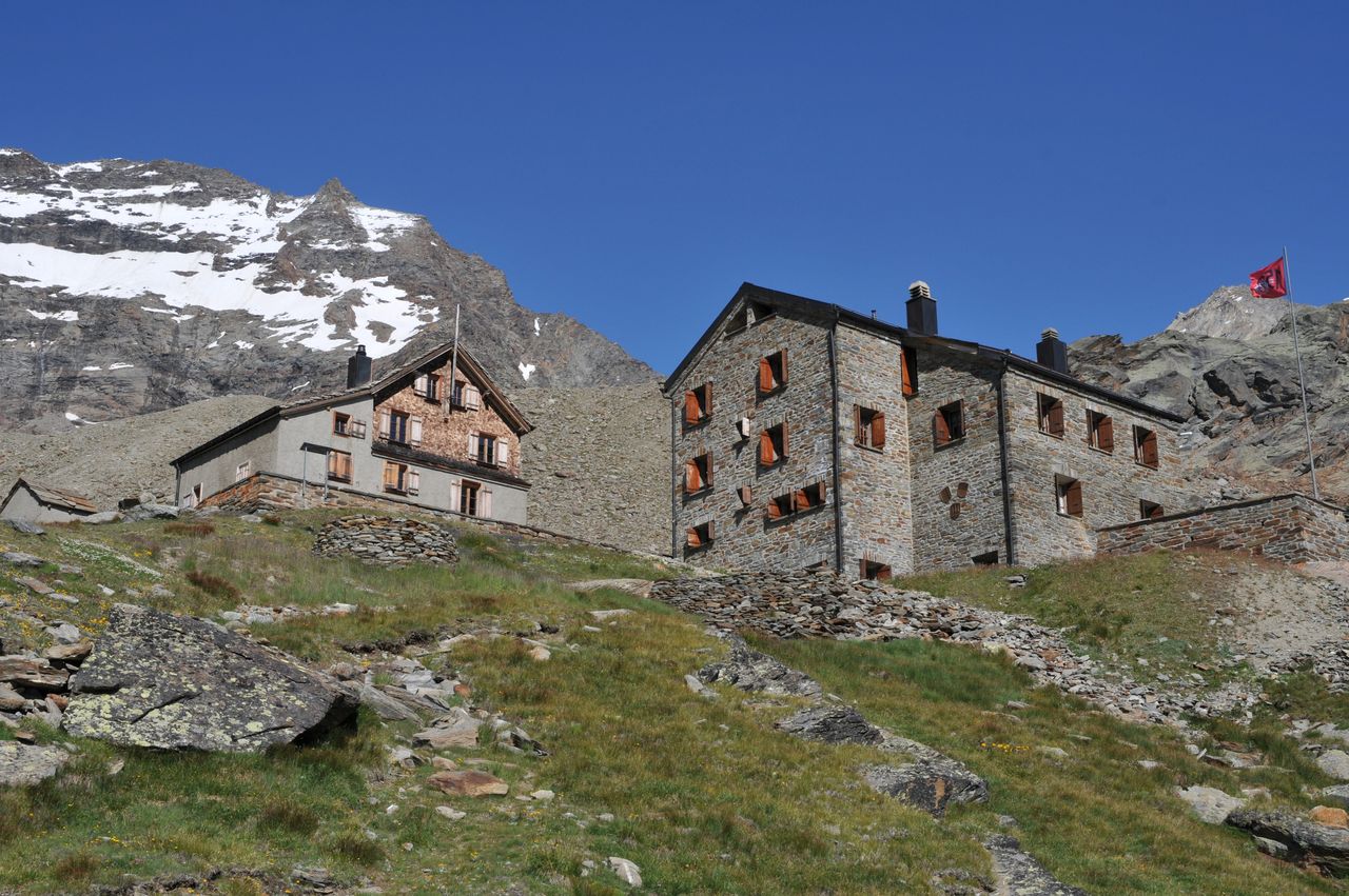
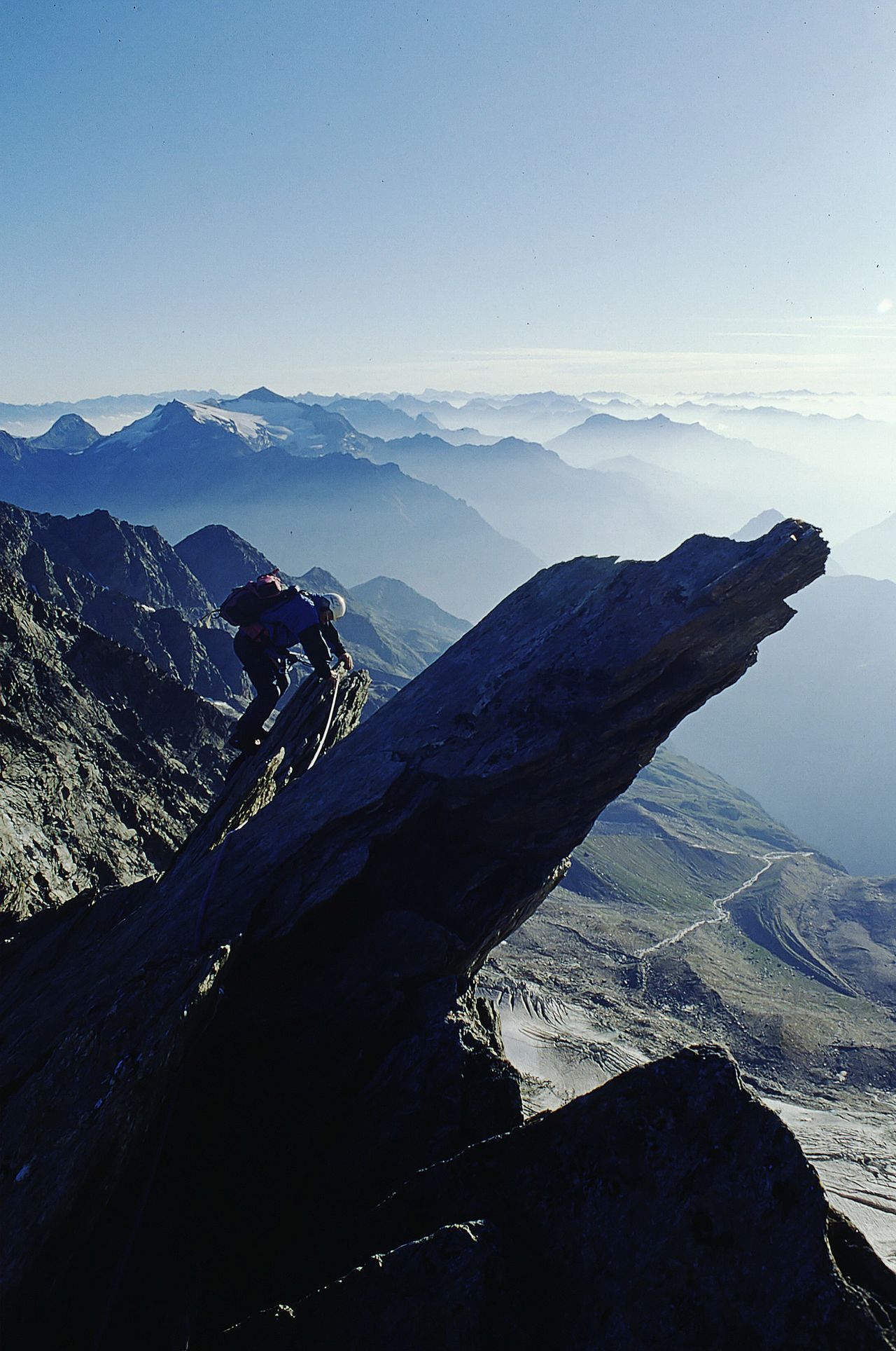
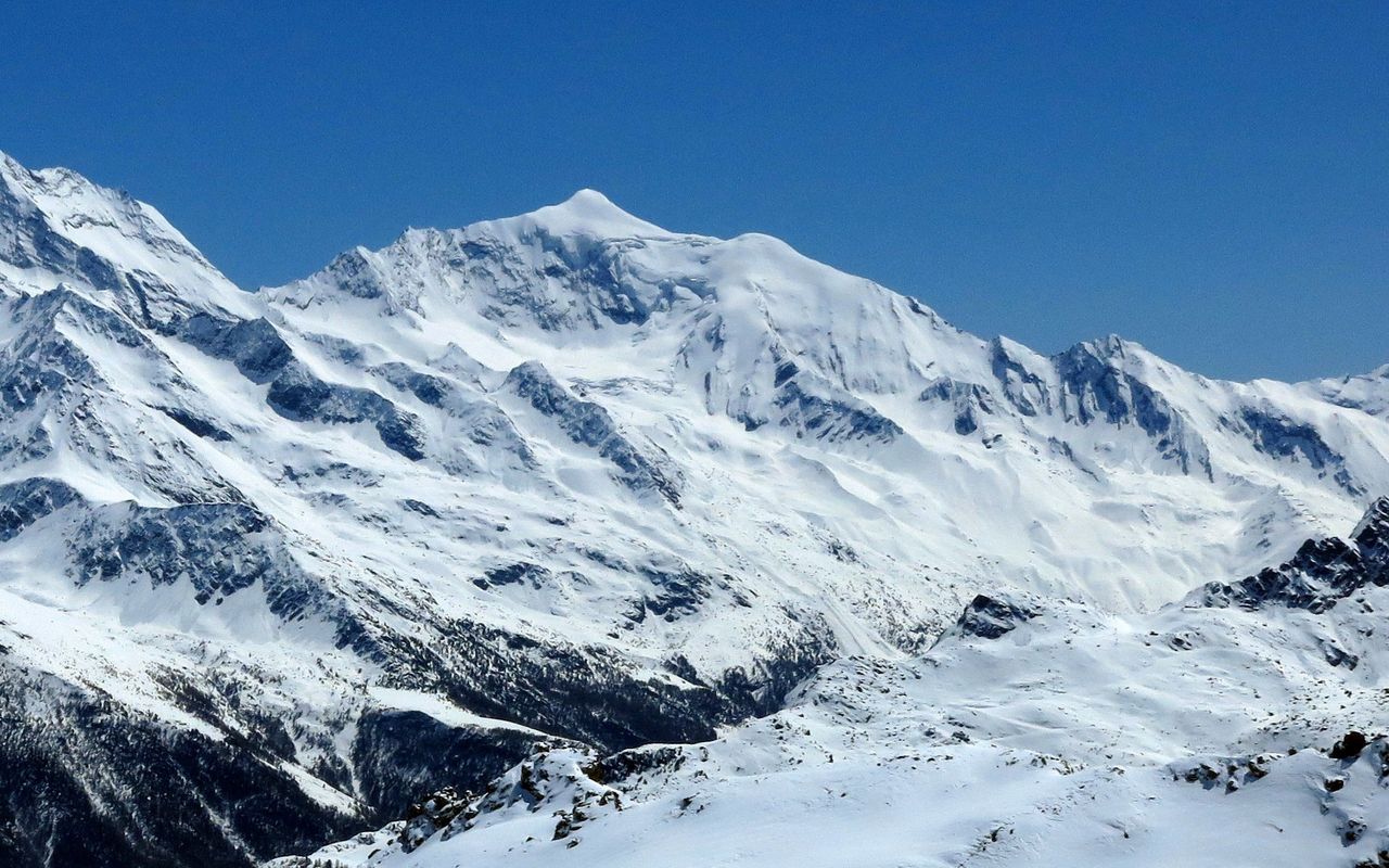
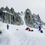
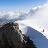
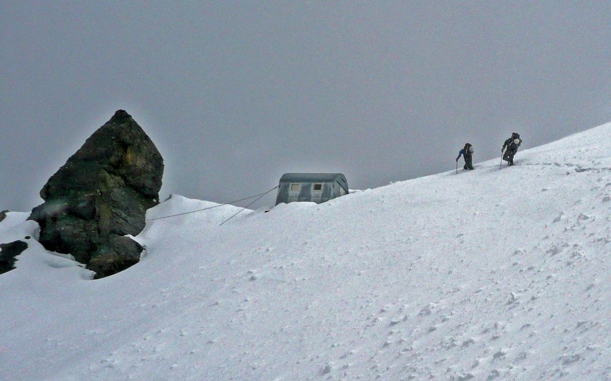
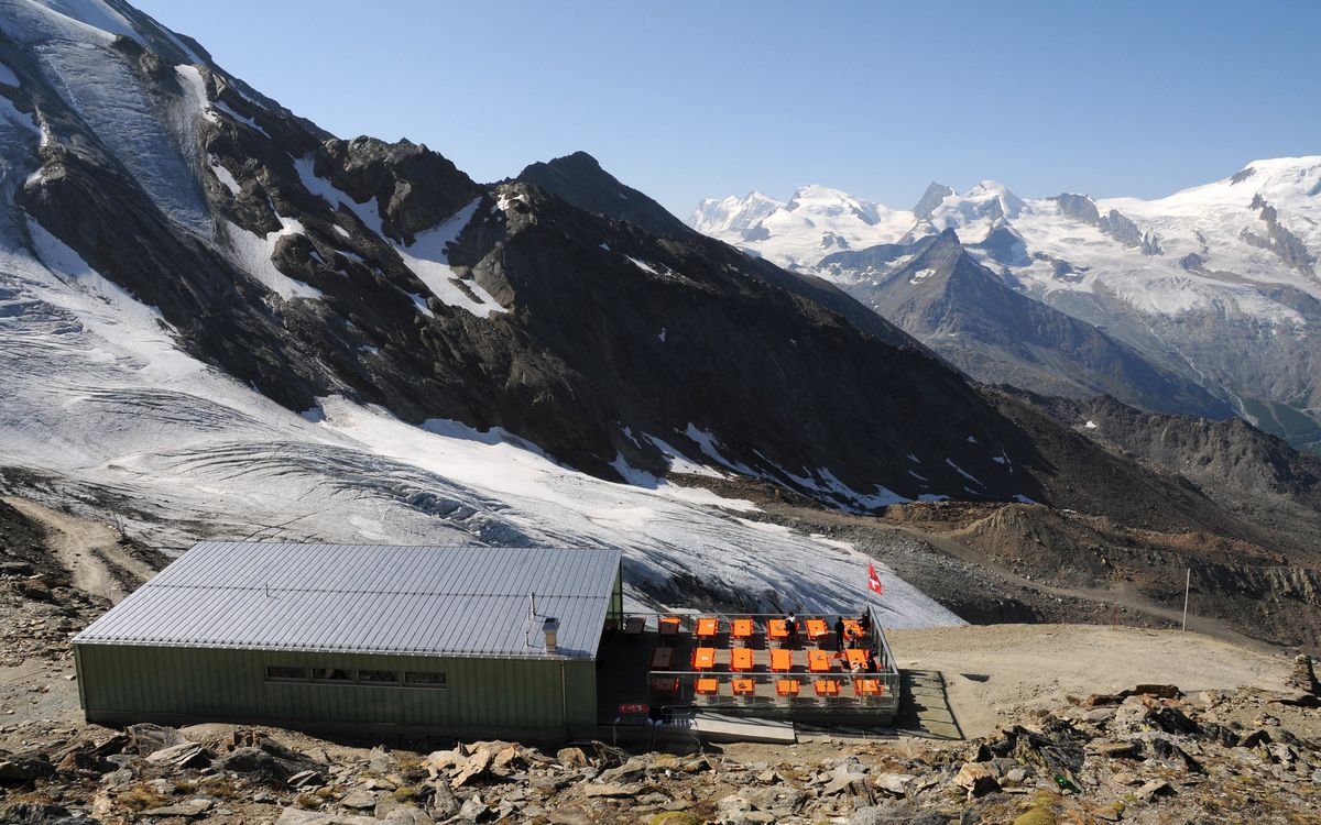
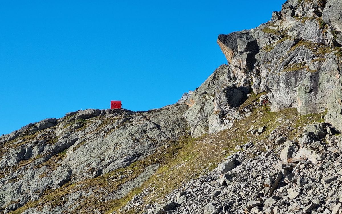
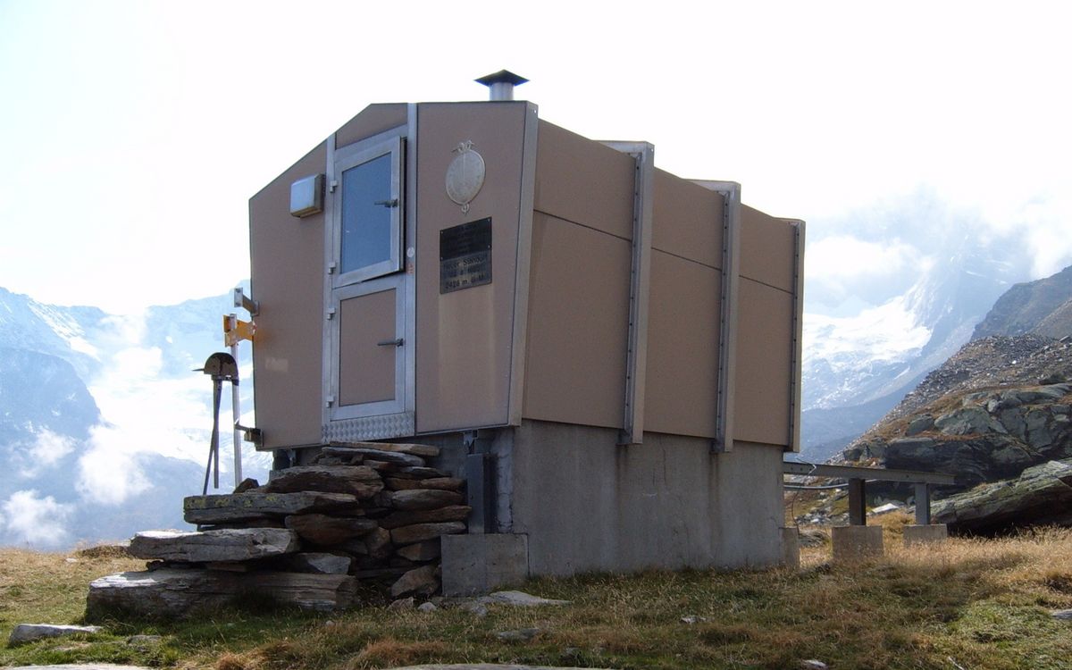
With the Almageller- and Weissmies huts, as well as the cable car from Saas-Grund to Hohsaas in close proximity, the Weissmies is a very accessible, and therefore one of the most popular four-thousand-meter peaks of Switzerland. A traverse of its rocky N-ridge is especially recommended. It is common today to tackle the summit via the normal route as a day trip (taking the first possible cable car to Hohsaas).
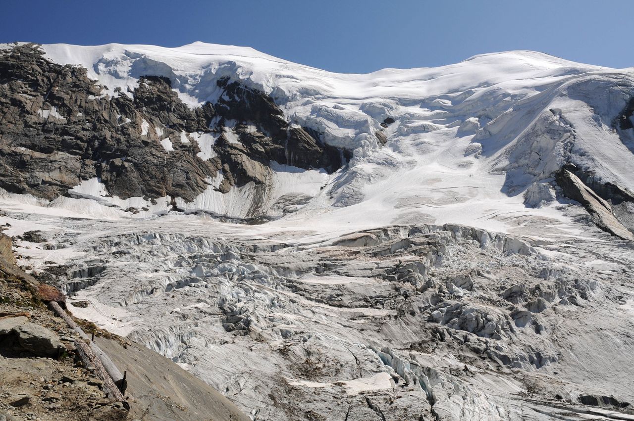
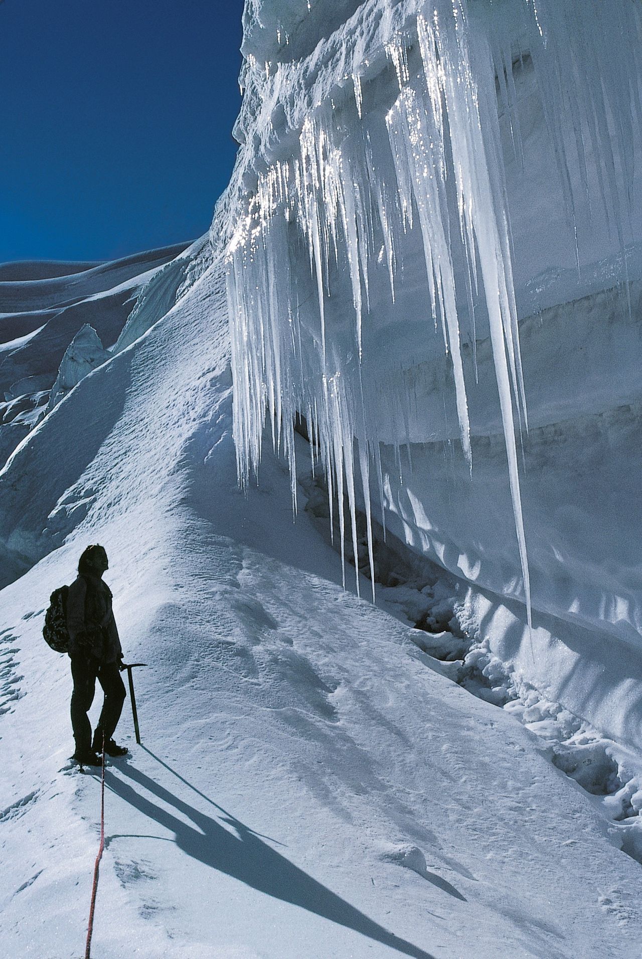
The Weissmies has the aura of being a "easy four-thousander". But beware! For experienced mountaineers, it may be easy in good conditions. However, the mountain has (like all four-thousanders) its pitfalls, literally: some big crevasses, plus some ice and rockfall, as well as orientation problems and impressive thunderstorms. In addition, in recent years, the Trift Glacier has changed for the worse, and the passage is often tricky / not easy to find. In the summer of 2017 and spring of 2018, several massive serac collapses have been observed.