![[Translate to English:]](/fileadmin/Der_SAC/Unserer_Partner/CSS_cyan_rgb.svg)
Traverse east-west from Wasserauen (Normal route) Marwees 2055 m
-
- Difficulty
- T4-
-
- Ascent
- 4 h, 1350 m
-
- Descent
- 2:30 h, 1350 m
Like flying. Only better.
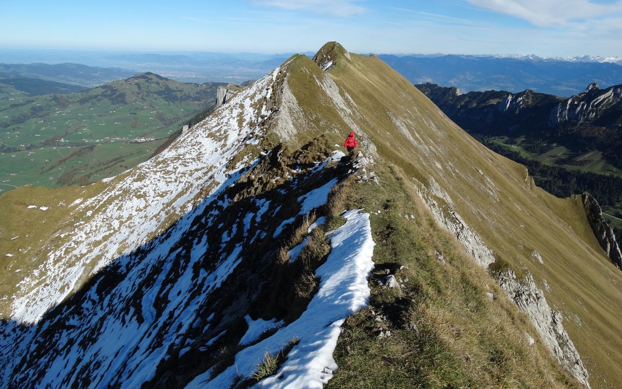
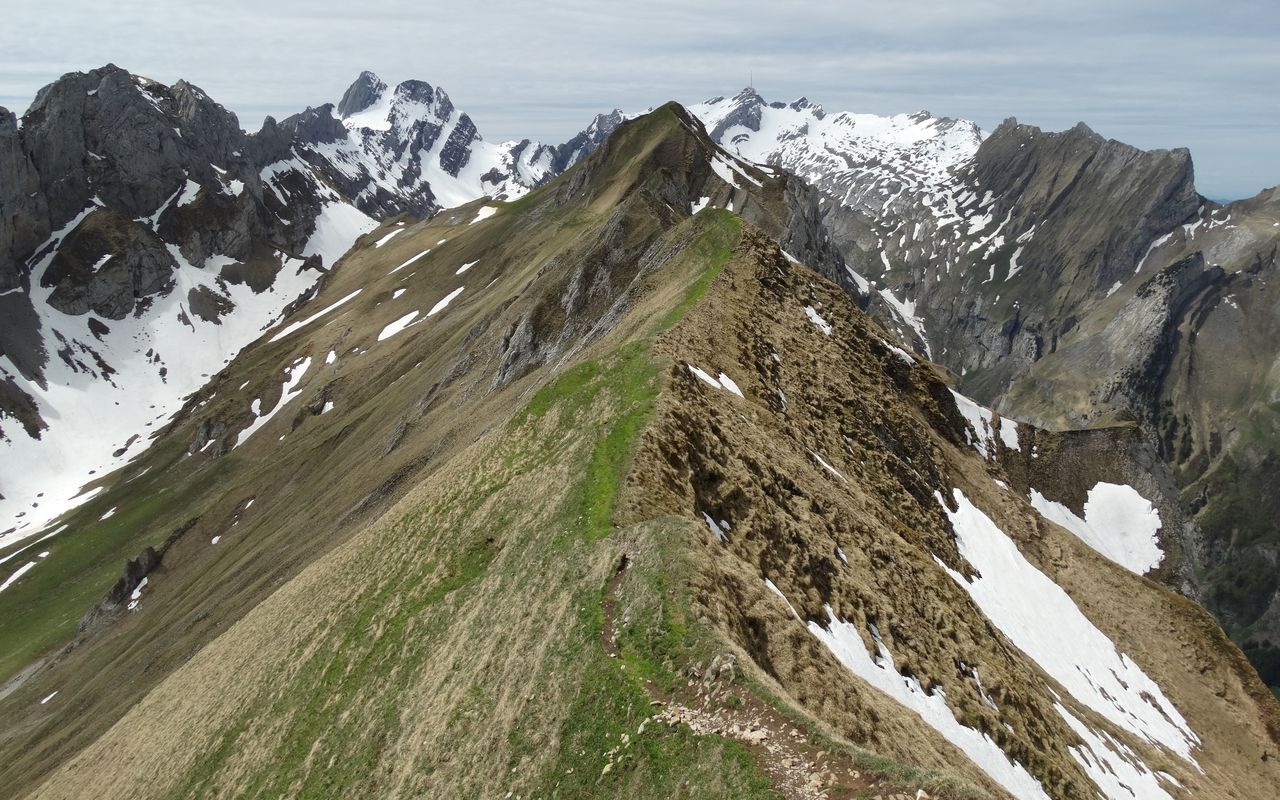
On Marwees nature and interesting trails built by courageous builders make for a hiking tour which satisfies every wish an alpine hiker might have: impressive views deep down, a boost of adrenalin on the steep ascent to Bogartenlücke or the feeling of flying when balancing on the Marwees ridge. East of Bogartenlücke stands a huge boulder called Bogartenmannli, which appears to guard the col. The view from the summit goes from Hoher Kasten to Stauberen and Kreuzberge against the backdrop of the Rätikon and Vorarlberg mountain ranges. Looking northward, Lake of Constance sparkles in the distance, while in front the hilly landscape of Appenzell and Thurgau is spread out.
Route description
Additional information
- Time
-
Wasserauen–Bogartenlücke–Marwees: 4 h
Marwees–Meglisalp–Wasserauen: 2½ h
- Difficulty / Material
-
Until Bogartenlücke the difficulty is T2. Then the trail to Marwees is marked white-blue-white (alpine hiking trail). An information board details the dangers of this stretch. Granted, the trail is steep, and the traverse to a grassy terrace may be precarious or even impassable, especially when wet or snow-covered. However, in good conditions, with appropriate gear and surefootedness the hike on the ridge should be a real pleasure (low T4). Some exposed passages are also found on the descent on Schrennenweg from Meglisalp to Wasserauen, but they are well equipped (T3).
- Waypoints
-
-
- Neighbor summit
-
The Bogartenmannli rock tower at Bogartenlücke can be climbed with a few moves (II-III, rope).
-