

![[Translate to English:]](/fileadmin/Der_SAC/Unserer_Partner/CSS_cyan_rgb.svg)
From Fafleralp (Normal route) Hollandiahütte SAC 3238 m
-
- Difficulty
- F
-
- Ascent
- 5–6 h, 1450 m
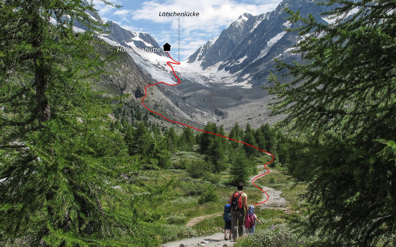
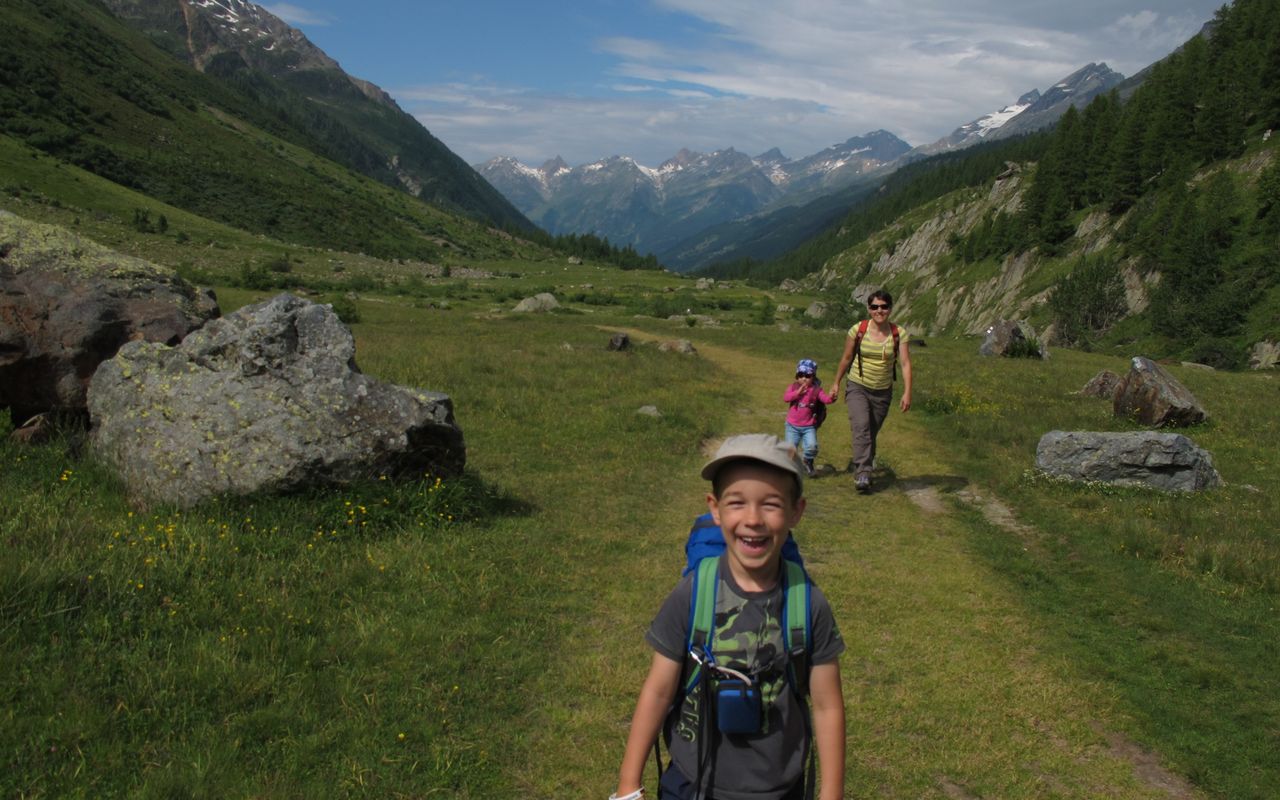
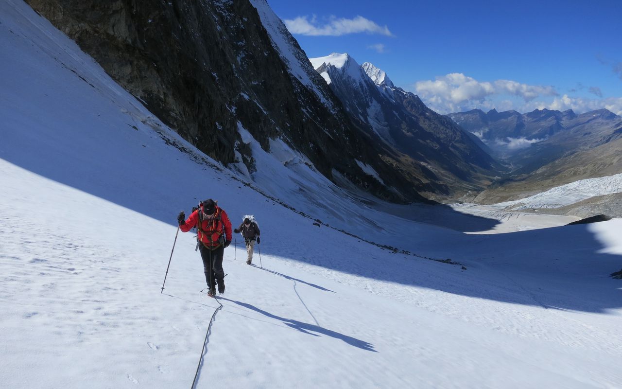
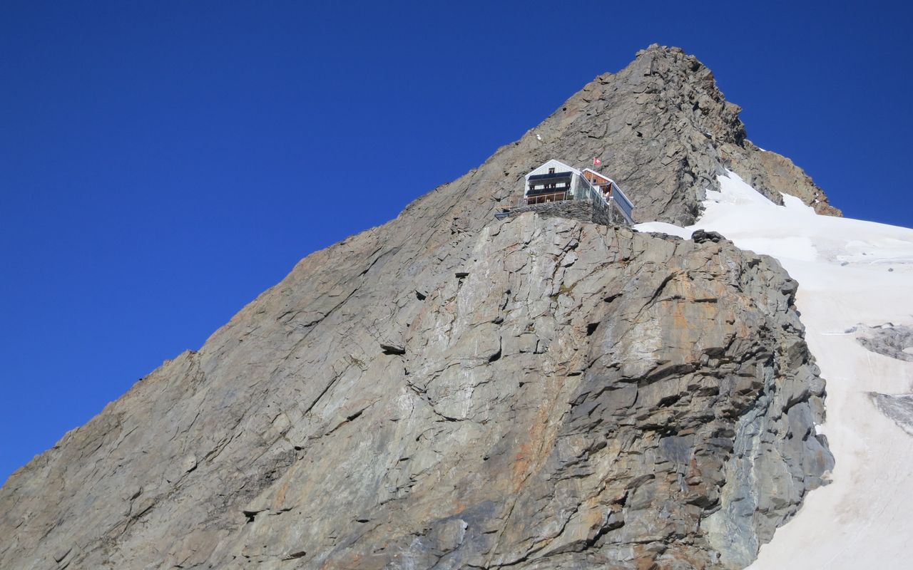
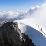
The approach from Fafleralp to the Hollandiahütte is extremely varied and can be classed as an mountain tour in its own right. The route takes us from Fafleralp, high up at the back of Lötschental, over the alpine meadows of the Gletscherstafel, through light forests and the glacial remains of the Langgletschers. Past various small and larger lakes. Below the Anenhütte, follow the northern glacier rim, sometimes on the latter, sometimes on scree, to reach the Lötschenlücke. From there in a curve up to the Hollandiahütte, located in the high alpine area at more than 3200 m.
Route description
Fafleralp - Langgletscher
From the Postauto (bus) stop 'Fafleralp' at Gletscherstafel (1766m) you can reach the marked mountain trail and follow this towards the Anenhütte until at about 2080 m (to continue along the higher path to the glacier is not recommended due to rockfall danger). At ca. 2080 m, leave the hut trail of the Anenhütte and follow the red-white markings and carins through the rock band northeastwards up to approx. 2320 m, where the route branches off to the Hollandiahütte (cairns).
Langgletscher - Hollandiahütte
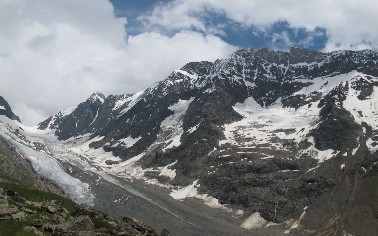
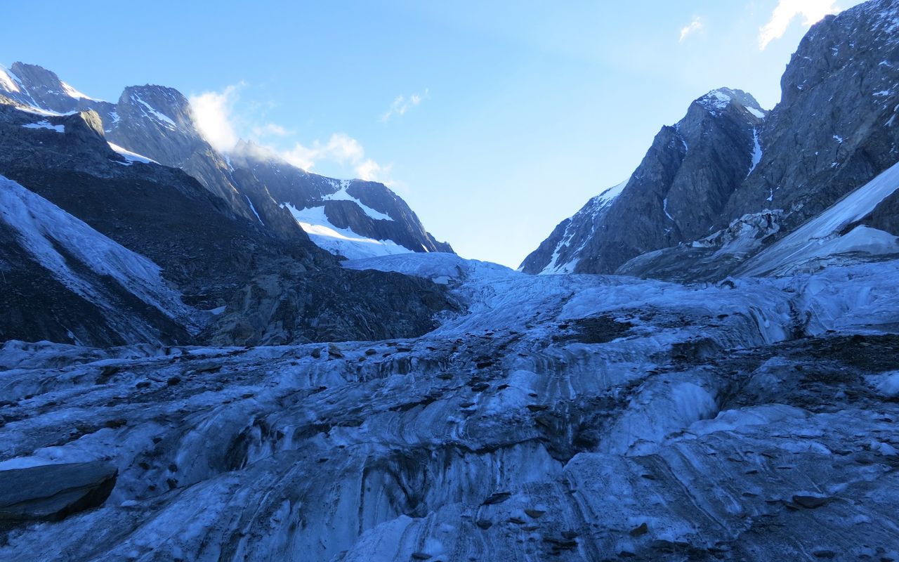
A little later you enter a scree-covered side arm of the Anugletscher glacier, then scree again (blue markings, cairns) and finally enter the Länggletscher glacier at approx. 2800m. You reach another rock zone through the Grossi Tola (blue markings, cairns), then across the glacier into the Lötschenlücke. Here you swing out towards the east and finally reach the hut from "behind", i. e. from the east.
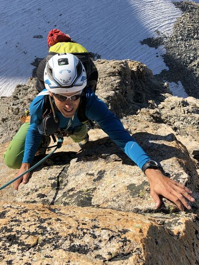
Variant: protected climb from the south
The hut can also be reached via a short, via ferrata-like route (entry slightly west below the Lötschenlücke).
Additional information
- Waypoints
-
-


