

![[Translate to English:]](/fileadmin/Der_SAC/Unserer_Partner/CSS_cyan_rgb.svg)
From St. Antönien Litzirüti Girenspitz (GR) 2367 m
-
- Difficulty
- PD-
-
- Ascent
- 2:30 h, 910 m
-
- Descent
- 910 m
-
- Exposure
- NE, SE
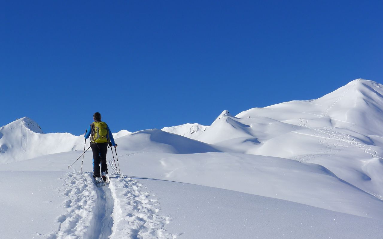
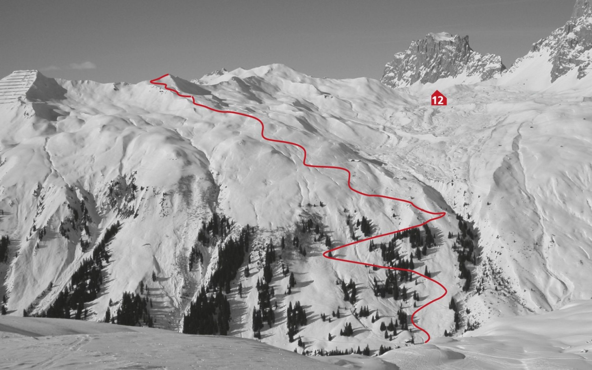
When in spring the snow on the sunlit slopes has turned crusty, you may still find powder on this summit. The strenuous ascent is rewarded by the view to the limestone walls of Rätikon.

Route description
St. Antönien Litzirüti - Mittelsäss
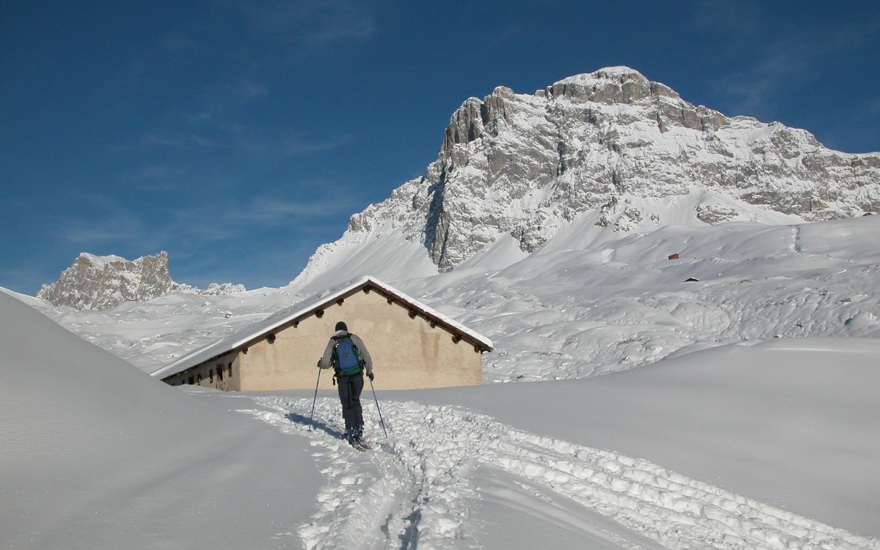
From St. Antönien Litzirüti (1460 m) ascend towards Partnun until the bridge at Untersäss. Cross the bridge over Schanielabach to reach Untersäss (1636 m) of the Carschina alp. Now follow the summer trail to the old chalets of Mittelsäss (1942 m).
Mittelsäss –E ridge – summit
Below the new chalet ascend westward on steep slopes to reach the wide E ridge of Girenspitz. Following this ridge and passing P. 2186 on the north, ascend to Fürggli (2318 m). Continue on the narrow S ridge to reach the summit.
Mittelsäss - Obersäss - summit
Bypassing the east facing slopes (risk of avalanche!) in a wide arc to the right, you reach Obersäss (2036 m). Now ascend westward, overcoming steps and depressions to reach Fürggli (2318 m). Continue on the narrow S ridge to reach the summit.
Descent
On the ascent
Additional information
- Departure and arrival point
-
St. Antönien, Litzirüti (1460 m)
During the summer months it is possible to drive up to parking No. 6, in winter to No. 5 and to P No. 12 in the direction of Gafia. For more information regarding parking private vehicles: www.luzein.ch/de/verwaltung/parkplaetze and www.luzein.ch/system/files/2020-09/Infoblatt Parkplätze Internet 2020.pdf
-
- Route number
-
115a


