From Bannalp | Ski tour | Swiss Alpine Club SAC
Unterstütze den SAC Jetzt spenden

From Bannalp (Normal route) Rugghubelhütte SAC 2294 m

  • Difficulty
    PD
  • Ascent
    3:30–4 h, 870 m
  • Descent
    290 m
  • Exposure
    N, E, SW, W

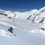
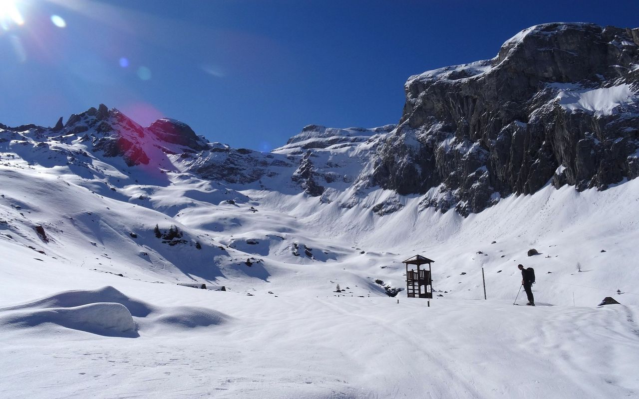
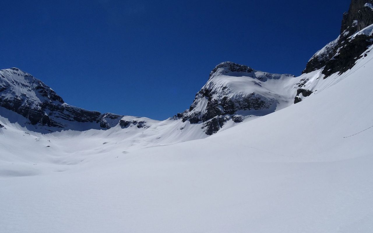
Shortest and most scenic approach to the Rugghubelhütte via two passes. The direct summer approach from the Brunnihütte through the steep southern slopes of Planggen is not possible in winter. Other winter options include from St. Jakob in Isenthal via Oberalp and the Rot Grätli (WS +, 5½ - 6 hours) or from the Engelberger Fürenalp via Wissberg - Rotbandleiter (S-, 4½ - 5 hours) to the hut.

Route description

Bannalp – Schoneggeli – Rot Grätli
From the top cable car station (Kreuzhütte, 1718 m) head E then SE to the mountain inn at Urnerstafel (1694 m) in the valley bowl of Bannalp. Cross the stream and climb the gentle slopes past Fulenwasser, then bear NE up to Gruenboden and the Bannalp Pass (2249 m). It is best to climb south along the ridge from the pass until at approx. 2320 m, then descend in the direction of P. 2222 via a north-east facing rib. Descend into the trough, then ascend once more, bearing east to skirt around the base or Oberberg's NE spur (2441 m) at ca. 2330 m. Now traverse the east flank southwards to the Rot Grätli (pass).
Variant: Schoneggeli direct
With safe conditions you can also descend directly from the Schoneggeli / Bannalp Pass. Not the steep NE which is prone to triggering in adverse conditions.
Rot Grätli – Rugghubelhütte
From the Rot Grätli descend SW following the line of the summer path until gentler ground leads over to the hut.

Additional information

Departure point

Kreuzhütte Bannalp, Bergstation (1718 m)

Zur Bannalp führen ab Oberrickenbach zwei Lufseilbahnen («rotes» oder «blaues Bähnli»)

Informationen zur Seilbahn Fell – Kreuzhütte Bannalp («blaues Bähnli»): www.bannalp.ch/index.php/fahrplan

Crux

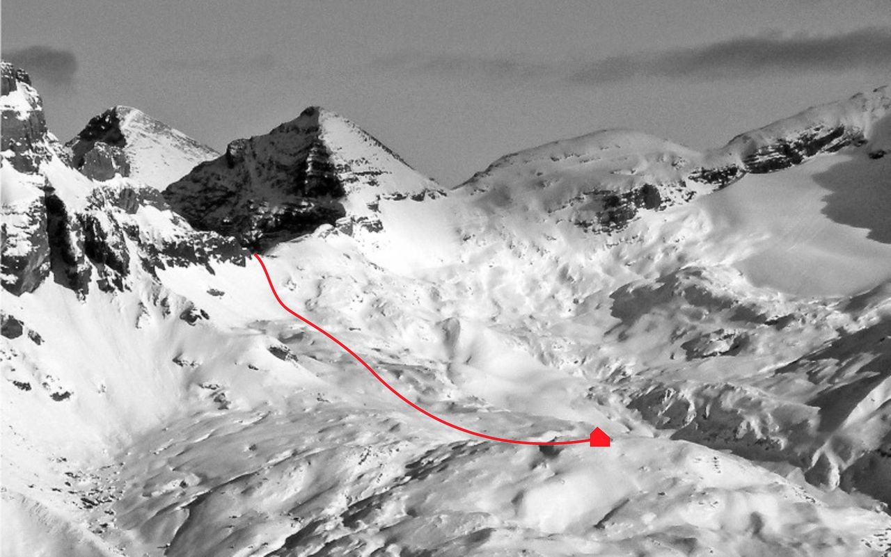
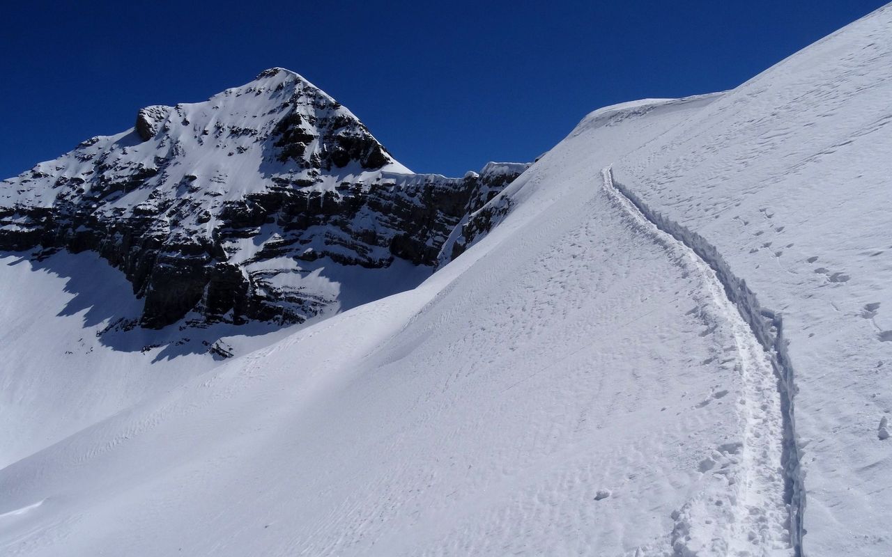
Der Übergang über die Bannalper Schonegg kann heikel sein (Triebschnee, Wechten). Dann bietet sich die im Routentext beschriebene Route (mit ca. 100 m Höhenverlust) an.

Route number

55a

Our recommendations

Gipfelziele Zentralschweiz Vierwaldstättersee

Berg- und Alpinwandern

Gipfelziele Zentralschweiz Vierwaldstättersee

Price CHF 54.00
Member price CHF 45.00
Tourenportal/App-Abo Jahreszahlung

Subscription to the SAC Route Portal

Tourenportal/App-Abo Jahreszahlung

Price CHF 49.00
SAC-Hütten-Monopoly

At home

SAC-Hütten-Monopoly

Price CHF 69.90
Member price CHF 60.00
SAC-Rohner Socken - Copper Jet

Equipment

SAC-Rohner Socken - Copper Jet

Price CHF 29.90
Member price CHF 25.00
SAC-Taschenmesser

Equipment

SAC-Taschenmesser

Price CHF 54.00
Member price CHF 49.00
Schneeschuhtouren Zentralschweiz

Schneeschuhtouren

Schneeschuhtouren Zentralschweiz

Price CHF 59.00
Member price CHF 49.00
Ausbildung Bergwandern / Alpinwandern

Ausbildung

Ausbildung Bergwandern / Alpinwandern

Price CHF 59.00
Member price CHF 49.00
Hütten der Schweizer Alpen / Cabanes des Alpes suisses

Bildbände

Hütten der Schweizer Alpen / Cabanes des Alpes suisses

Price CHF 69.00
Member price CHF 59.00
feedback