![[Translate to English:]](/fileadmin/Der_SAC/Unserer_Partner/CSS_cyan_rgb.svg)
From the Britanniahütte via the WNW-Ridge from Adlerpass (Normal route) Strahlhorn 4190 m
-
- Difficulty
- PD, I
-
- Ascent
- 5–6 h, 1320 m
-
- Descent
- 170 m
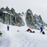
Frequently used normal route; a relatively easy ascent, but crossing dangerously crevassed glaciers: Caution necessary. From the Britanniahütte you climb over the Allalingletscher to Adlerpass and then follow the WNW ridge to the summit.
Route description
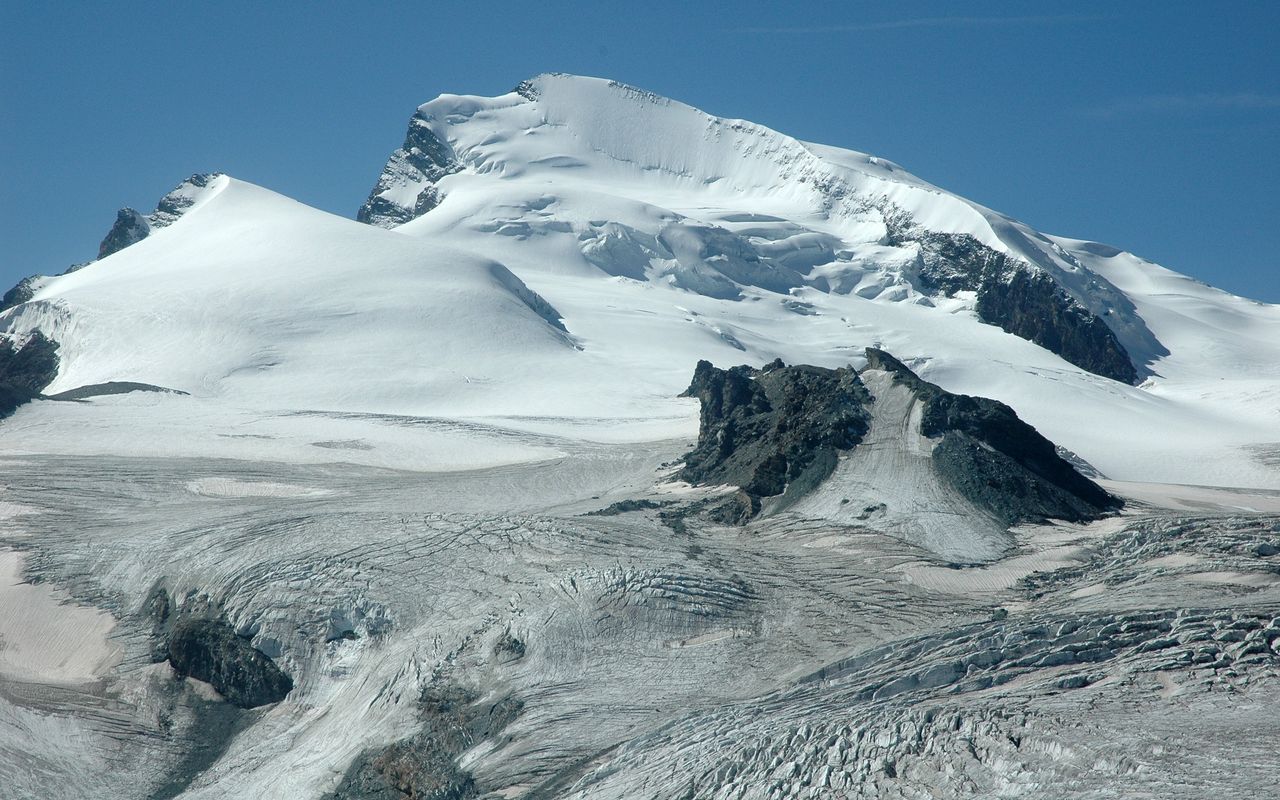
Britanniahütte - Hohlaubglescher
From the Britanniahütte (3027 m), a path leads down to the Hohlaub glacier, which is joined at about 2950 m.
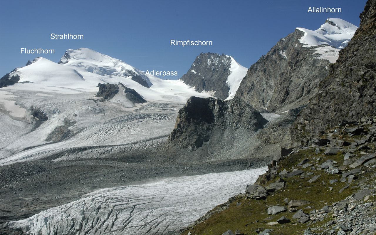
Hohlaubgletscher - Adlerpass
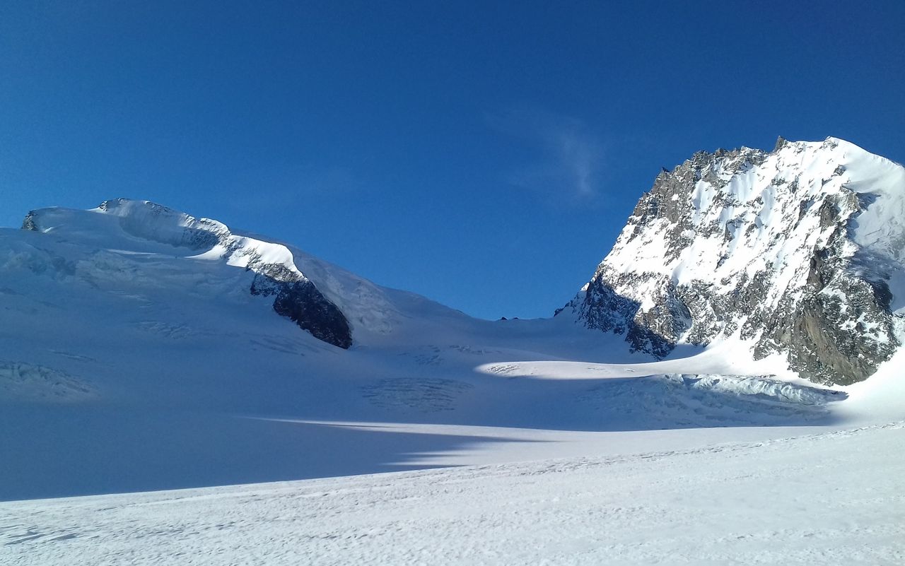
Traverse the Hohlaubgletschres at about 2950m, then cross the moraine field south to gain the Allalingletscher. Now you follow the right-hand (NW) edge of the glacier to the plateau at about 3240 m, which you cross to the south west. From the plateau continue southwest and follow a rising depression between crevasse fields to beneath the E-wall of the Rimpfischhorn. Maintaining a sufficient distance from this E-wall due to rock fall danger, climb up to gain the Adlerpass (3785 m), 3½ hrs.
Variant a: via Hohlaubgletscher
If the access to the Allalingletscher (crevasses!) is difficult, the following variant is possible: Follow the route to the Hohlaubgrat and climb the lower Hohlaubgrat southwards to approx. 3125 m (tracks, cairns). Continue southwest past P. 3103 down to the Allalingletscher.
Variant b: Allalingletscher via P. 3103
This old, more direct route is no longer popular due to retreat of the glaciers, and is only recommended with a healthy firn covering.
From the Hohlaubgletscher climb more west across the moraine filed and into a gap between the Hohlaubgrat, and rocky island to the south (P. 3149). Continue less steep to the rocky shoulder at 3103 m, cross it and then descend down onto the Allalin Glacier.
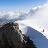
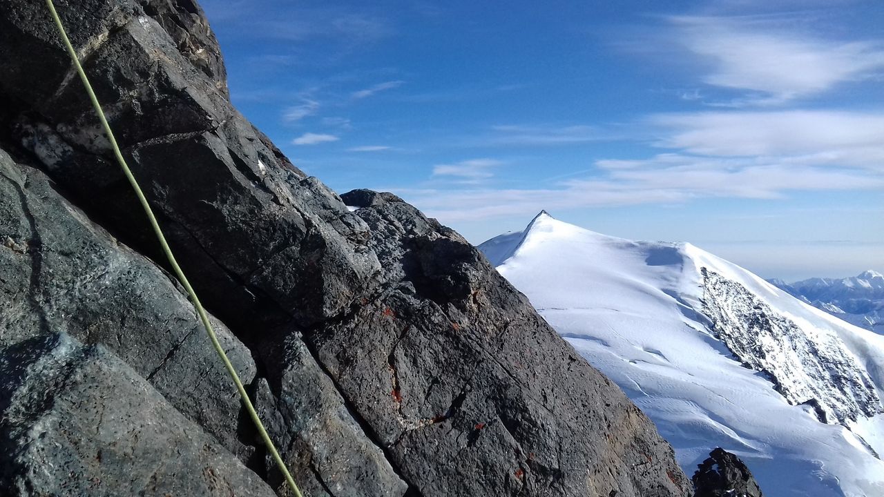
Adlerpass - Strahlhorn
From the Adlerpass, follow the WNW ridge of the Strahlhorn or - if the ridge itself is icy - climb the depression to the left (north) until flatter ground is reached ca. 3940 m. Continue up the short, steep NW slope to gain the summit rocks of the Strahlhorn (4190 m) 1½ hours.
Descent
Follow the route of ascent.
Additional information
- Departure point
-
-
- Waypoints
-
-
- History
-
Edmund J. Grenville, Christopher Smyth with mountain guides Franz-Josef Andenmatten and Ulrich Lauener, 15. August 1854.