From Gasenried via Alpja | Mountain hiking | Swiss Alpine Club SAC
Unterstütze den SAC Jetzt spenden

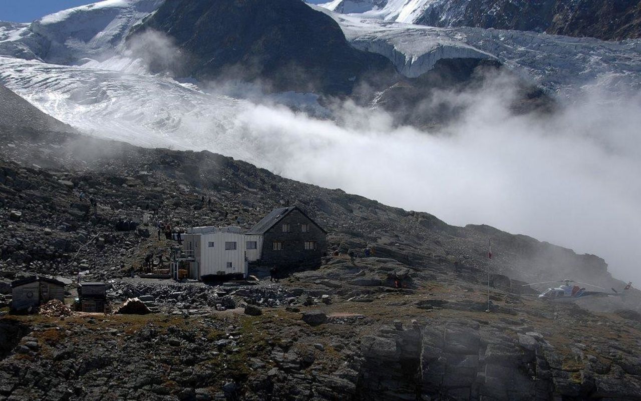
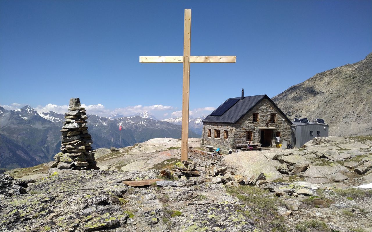
From Gasenried via Alpja (Normal route) Bordierhütte SAC 2886 m

  • Difficulty
    T3
  • Ascent
    3:45 h, 1240 m

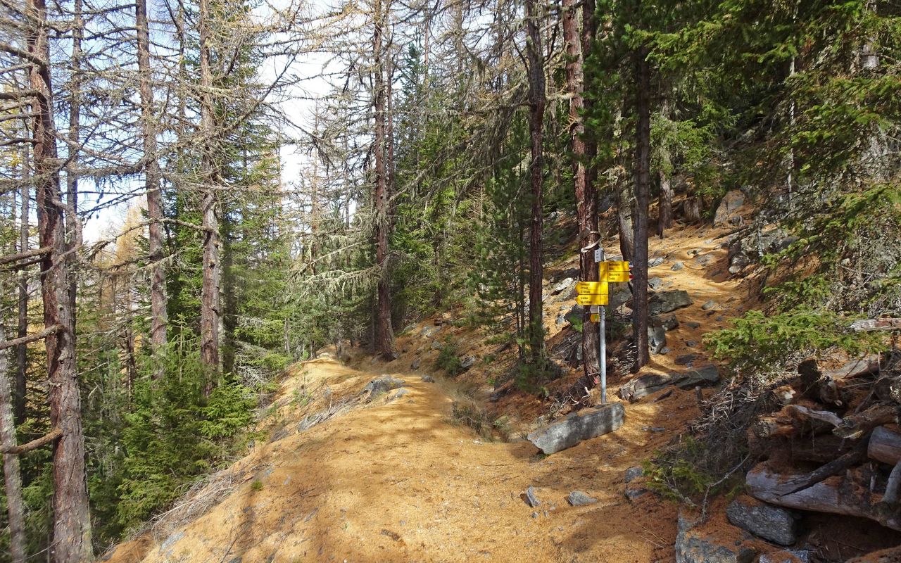
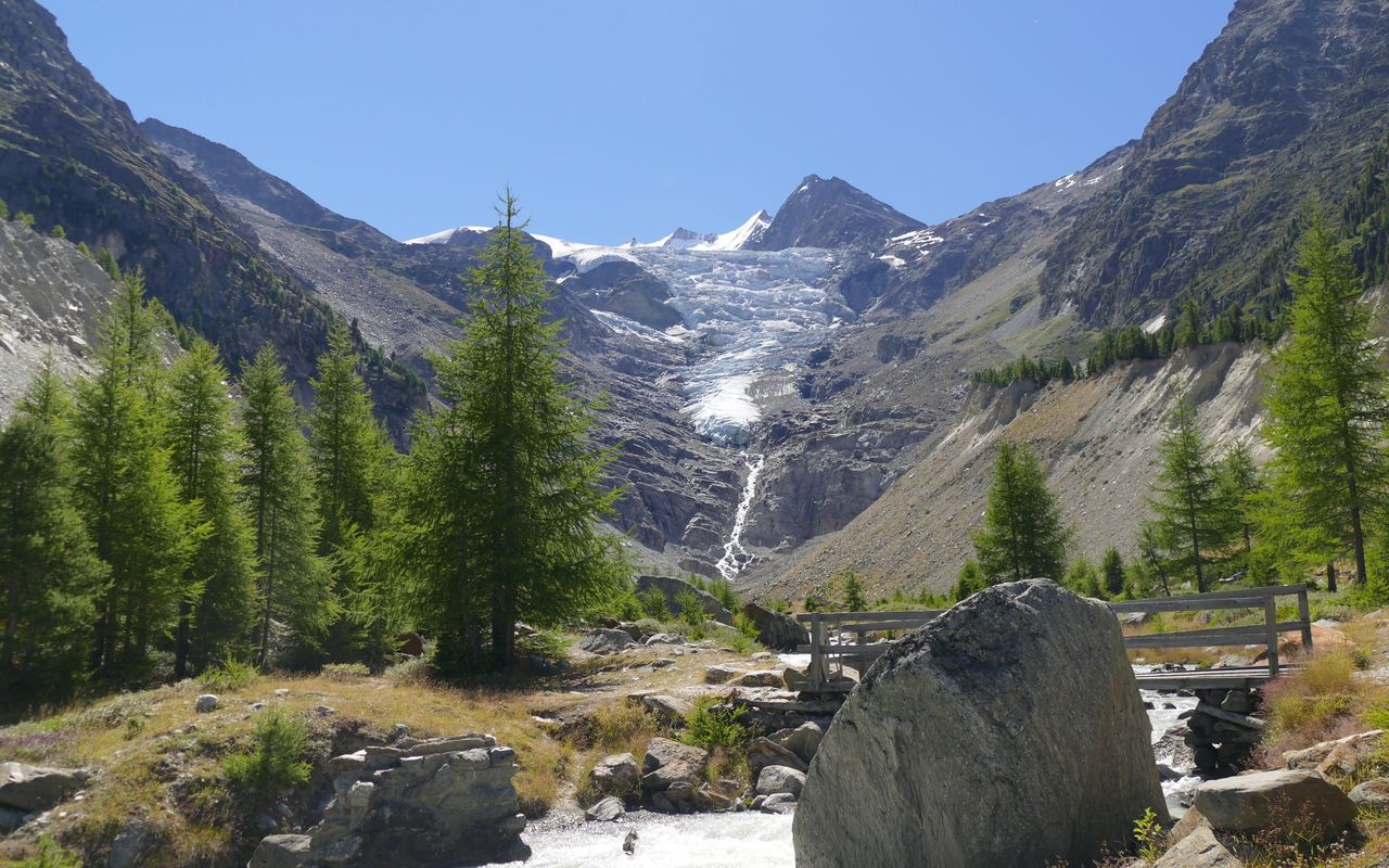
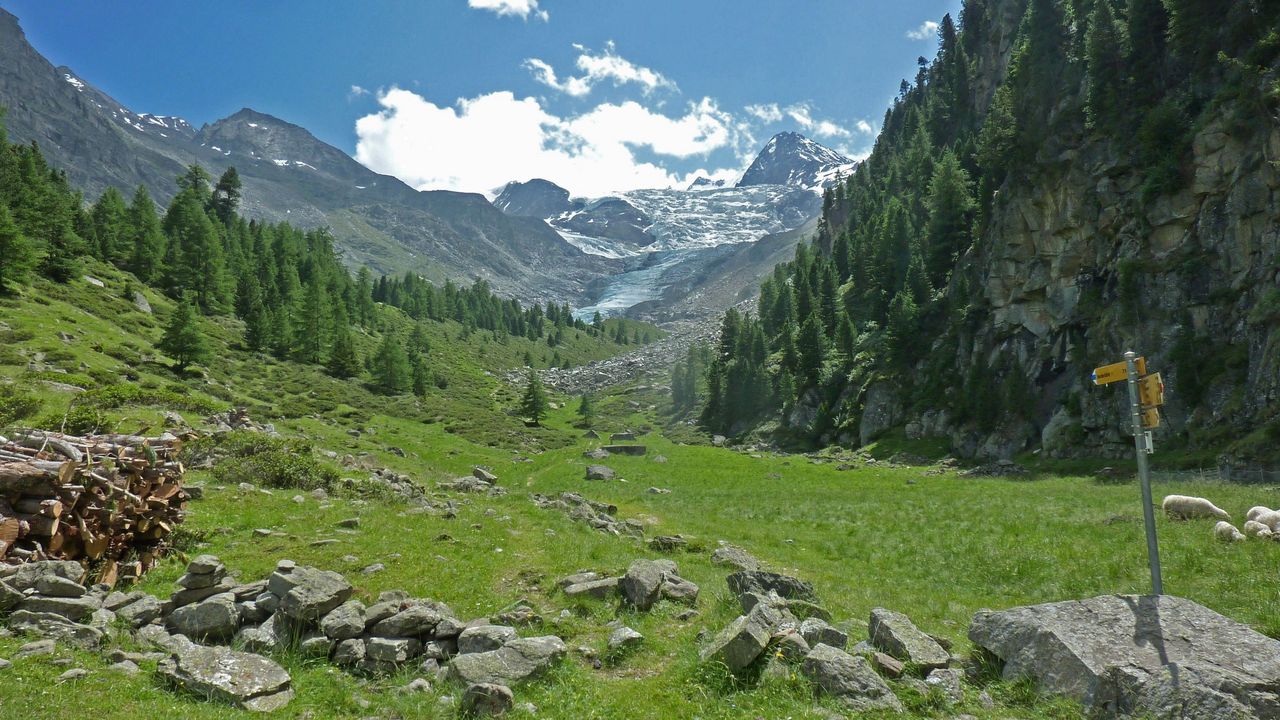
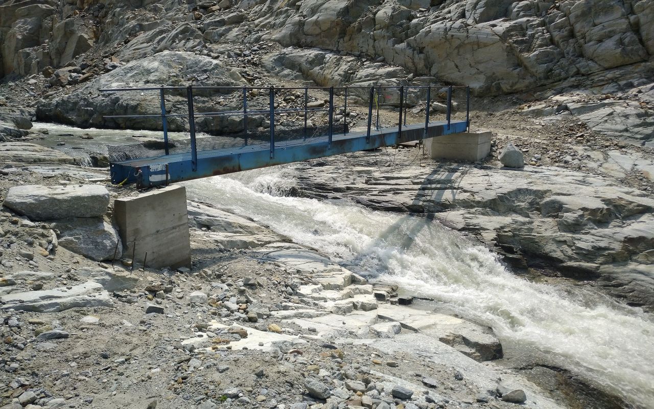
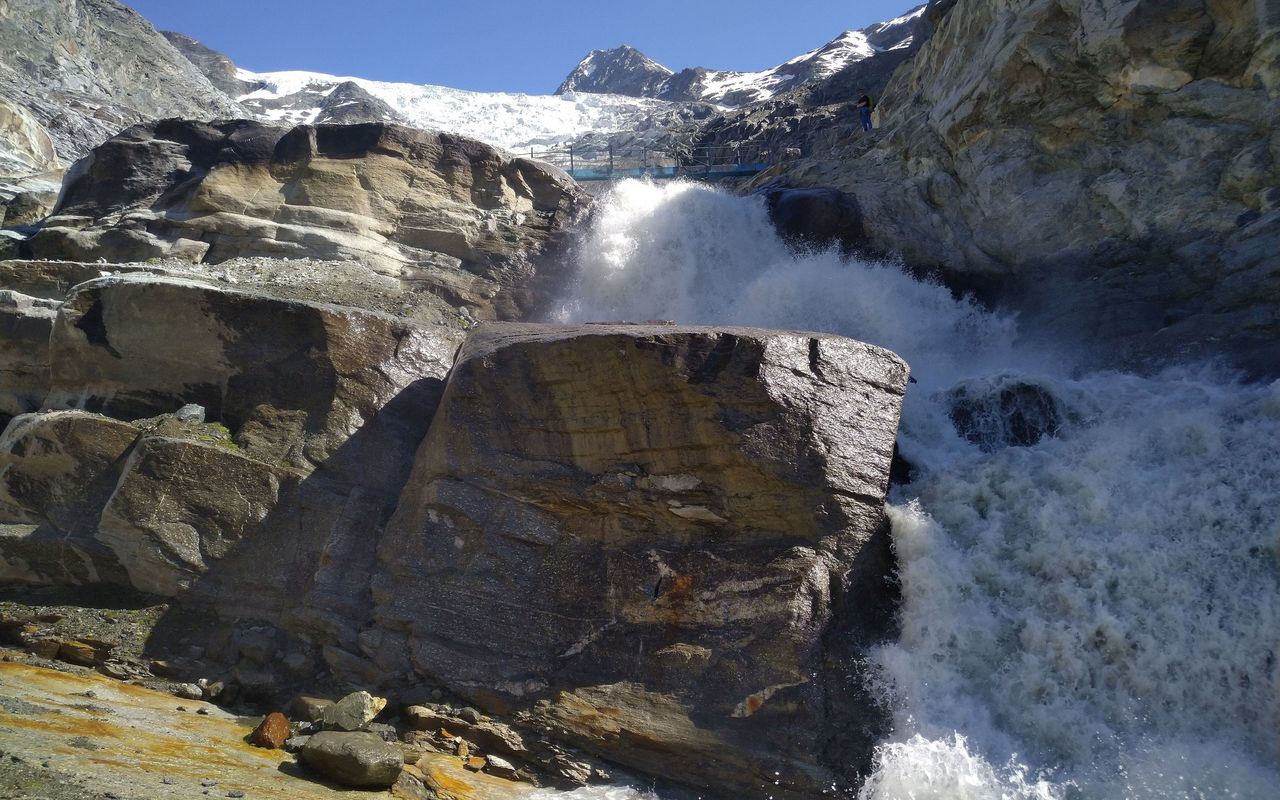
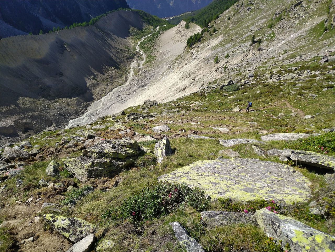
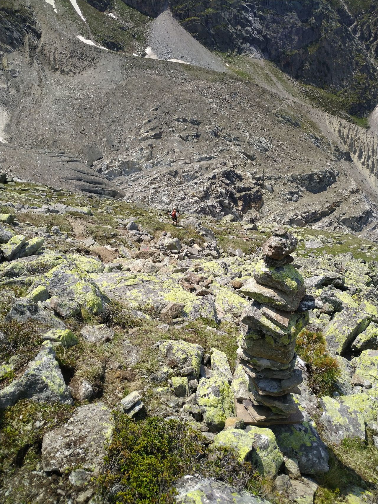
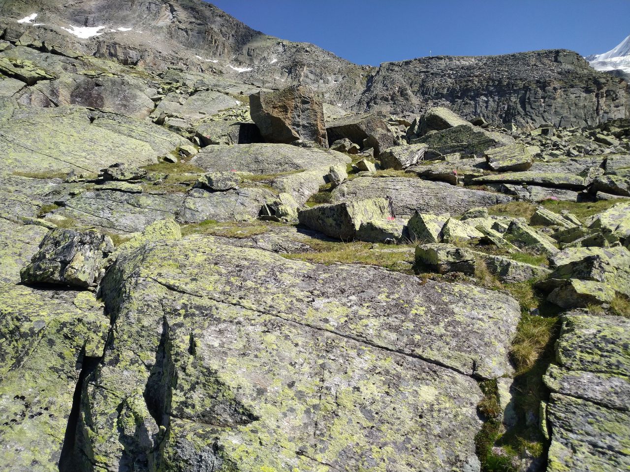
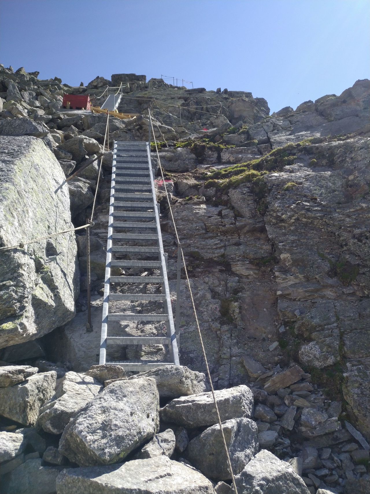
The approach to Bordierhütte from Gasenried takes you through an incredibly picturesque landscape. Once you leave the larch forest, the valley opens up and the effects of global warming, evident through signs of rapid glacial retreat, becomes immediately apparent. The path leading on from Alpija over the west lateral moraine gives an idea of how powerful the Ried Glacier used to be. In 2023, a new, technically simpler route was implemented, which no longer has a glacier crossing and is now marked red-white-red. A formerly white-blue-white marked footpath followed the moraine until it merges into scree, then crosses the disintegrating toe of the Ried glacier at a flat section, before leading but safely up to the hut; attention, no longer maintained.

Route description

Gasenried - Schalbettu - Riedbach - Alpja
From Gasenried (1659 m, PostBus), follow the road or the path just above towards Schalbettu (1683 m). Stay low and continue along the Europaweg (Grächen - Zermatt) over the Riedbach (bridge ca. 1671 m). Make a sharp left directly after and head up through damp forest first to P. 1739 (crossroads), then left again and up to P. 1998, where the Europaweg branches off to the right (west). Continues S straight up into a small valley, trapped between the steep mountain slope on the right and the lateral moraine on your left. You can also reach here via the hiking trails on the eastern side of the valley (roughly the same time). From Alpja (2099 m) continue up the shallow valley beside the west lateral moraine. At around 2400 m the new hut trail begins, which first leads horizontally eastwards into the valley, crosses the glacier stream and on the opposite slope via Trift finally reaches the hut from the north.
Old blue-white marked path
Old white-blue-white marked trail, attention, no longer maintained! At approximately 2400 m, you'll join to the moraine ridge, which offers an unobstructed view of the imposing rock step and waterfall left exposed by the retreating Ried glacier. Continue along (or in the hollow next to) the moraine until it merges into screes. Continue diagonally southwards. Shortly before a rock band the path zig-zags more steeply up to the right before levelling out and leading over to P. 2706. From here ascend to around 2740 m, until you gain access to the flat, crevasse-free section of the glacier (as of 2019). Reach the far (N) bank at approx. 2750 m, then follow way up to the hut.

Additional information

Departure point

Gasenried, Post (1659 m)

Waypoints

Grächen, Post (1615 m)

From Grächen half an hour more.

Our recommendations

Walliser Alpen

Alpine Touren

Selection guide

Walliser Alpen

Price CHF 49.00
Member price CHF 39.00
SAC-Crocs

Equipment

SAC-Crocs

Price CHF 59.00
Member price CHF 49.00
Tourenportal/App-Abo Jahreszahlung

Subscription to the SAC Route Portal

Tourenportal/App-Abo Jahreszahlung

Price CHF 49.00
SAC-Hütten-Monopoly

At home

SAC-Hütten-Monopoly

Price CHF 69.90
Member price CHF 60.00
SAC-Taschenmesser

Equipment

SAC-Taschenmesser

Price CHF 54.00
Member price CHF 49.00
Bergsport Sommer

Ausbildung

Bergsport Sommer

Price CHF 59.00
Member price CHF 49.00
Ausbildung Bergwandern / Alpinwandern

Ausbildung

Ausbildung Bergwandern / Alpinwandern

Price CHF 59.00
Member price CHF 49.00
feedback