![[Translate to English:]](/fileadmin/Der_SAC/Unserer_Partner/CSS_cyan_rgb.svg)
From Davos to Langwies on the south ridge (Normal route) Chüpfenflue 2656 m
-
- Difficulty
- T4+
-
- Ascent
- 2–2:30 h, 550 m
-
- Descent
- 3–3:30 h, 1460 m
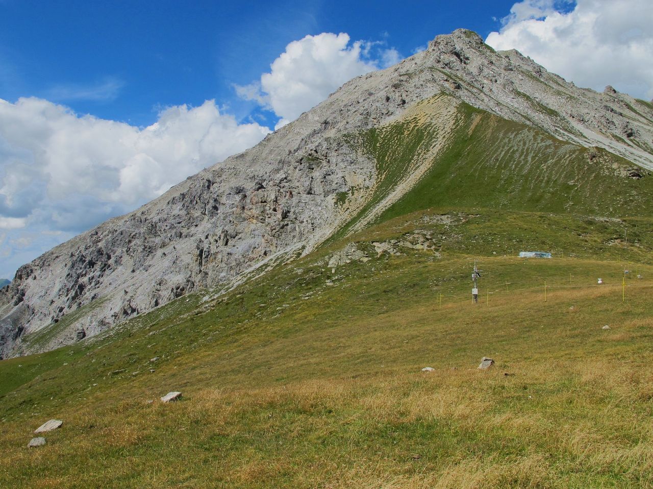
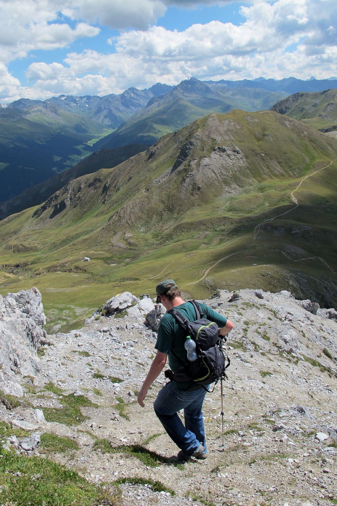
Pass hopping around Chüpfenflue
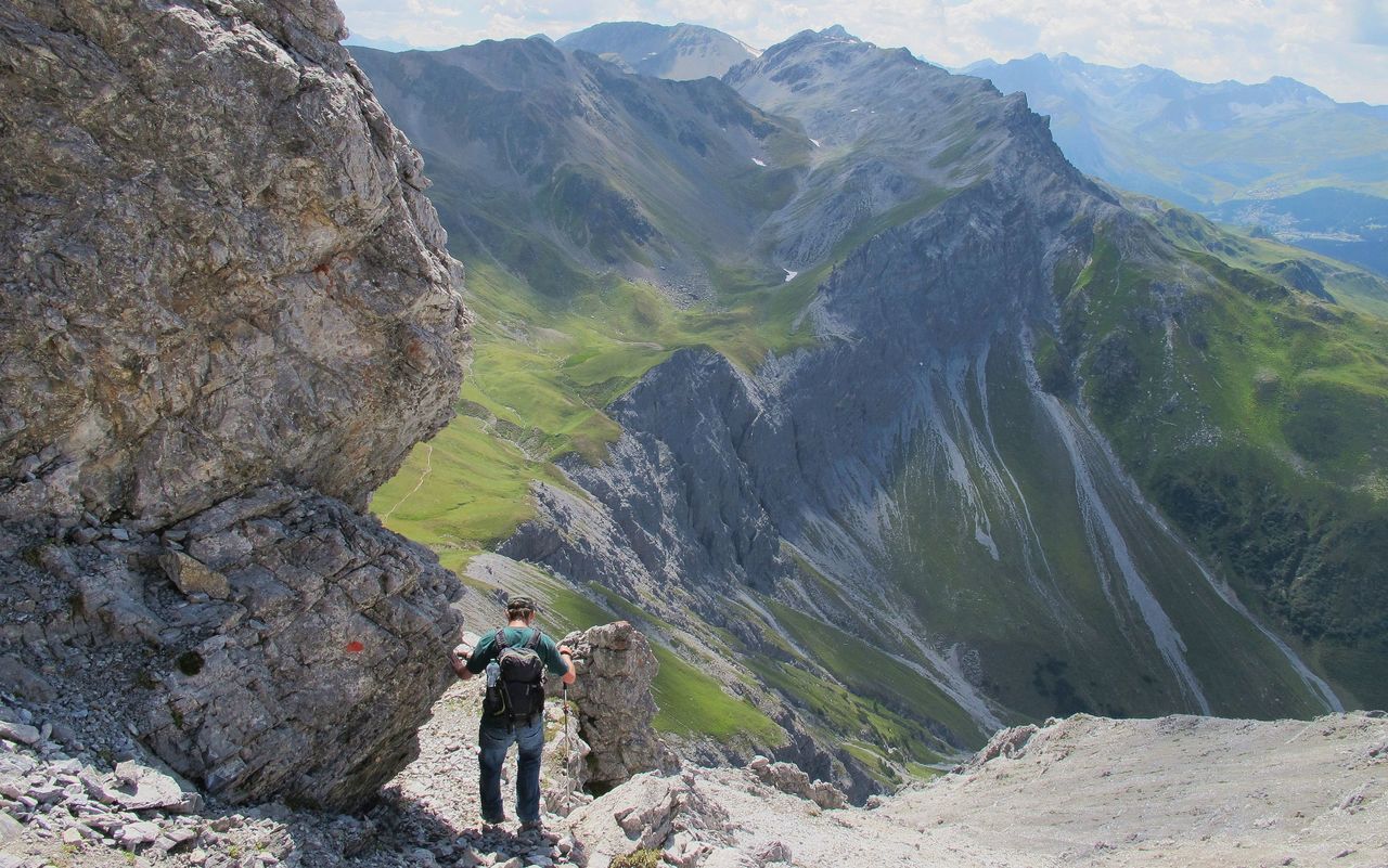
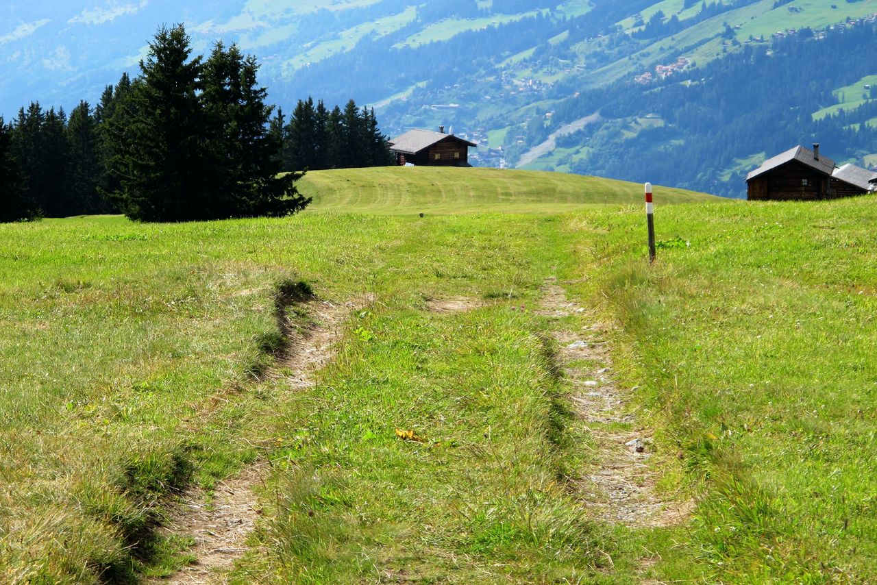
The mountains between Davos and Arosa are much less climbed than you would expect from their position close to the two well-known resorts. It is because many hikers hardly ever leave the well-developed Walser trails. Therefore, out-of-the-way mountains abound: Chüpfenflue, Mederger Flue, Tiejerflue, Amselflue. They all have in common that their west face is a sheer cliff and their east face is easily accessible. Regarding Chüpfenflue, on the way to the summit the skiing area is an uninviting landscape. Further on there is unspoilt nature. Upon reaching the picturesque Latschüel, we totally forgot that we were hiking in proximity to two busy resorts.
Route description
Additional information
- Departure point
-
Parsenn Höhenweg, Bergstation (2218 m)
Mittelstation Parsennbahn ab Davos Dorf.
Info und Fahrplan: www.davos.ch/davos-klosters/aktuell/sommersportbericht/offene-bergbahnen/
-
- Time
-
Höhenweg station - Strelapass - Latschüelfurgga - Chüpfenflue: 2–2½ h
Chüpfenflue - Latschüelfurgga - Tritt - Medergen - Langwies: 3–3½ h
- Difficulty / Material
-
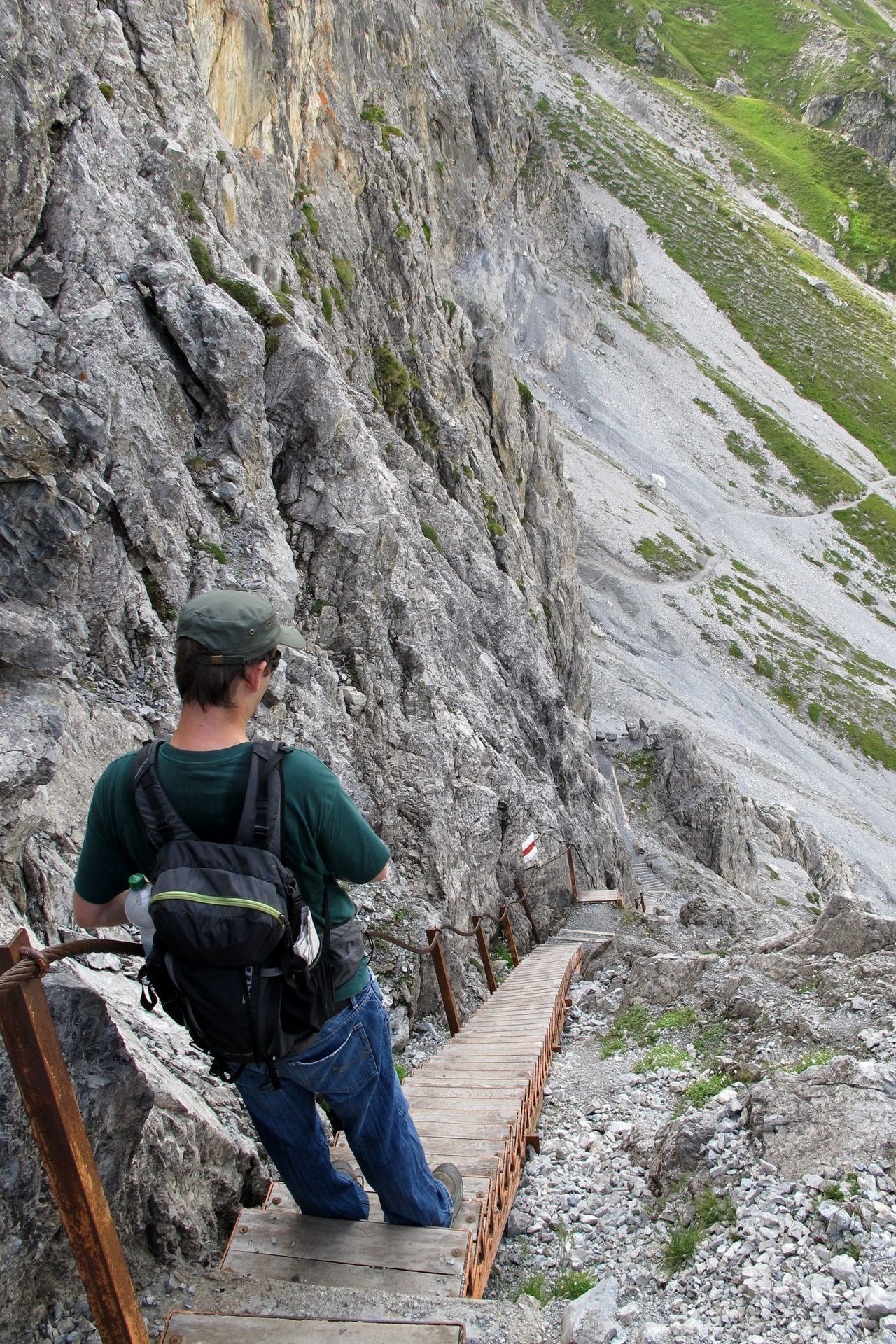
The grade of difficulty is for the last stretch to Chüpfenflue’s summit only. The scree on the faint path of the south ridge is hard to walk on so sometimes it is better to scramble on the rock off the ridge line.
- Waypoints
-
-
- Neighbor summit
-
Adding another ½ h, you can climb Strela, following Strelagrat. The trail on the ridge is still charted on the hiking maps, but there are no signposts nor markings anymore. Follow the ridge on a faint path (T3+). Close to P. 2545 there is a pole with a book giving information about the name Strela. Continue to the summit and take the south ridge for the way down (T3+). At ca. 2500 m you can take a shortcut directly down to Vorder Latschüel.
-