![[Translate to English:]](/fileadmin/Der_SAC/Unserer_Partner/CSS_cyan_rgb.svg)
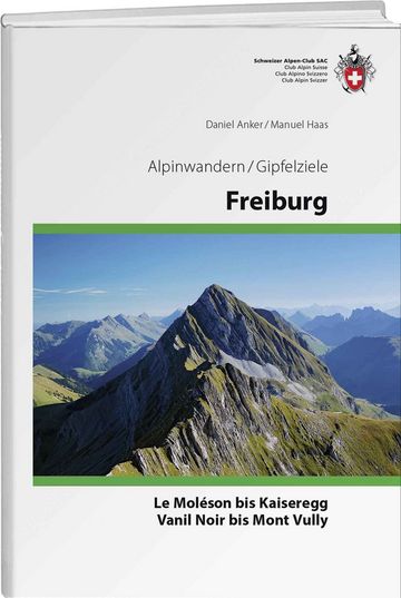
Schwarzsee – Kaiseregg on the north ridge Kaiseregg 2185 m
-
- Difficulty
- T4
-
- Ascent
- 3:15 h, 1140 m
-
- Descent
- 3 h, 1140 m
The emperor's old clothes
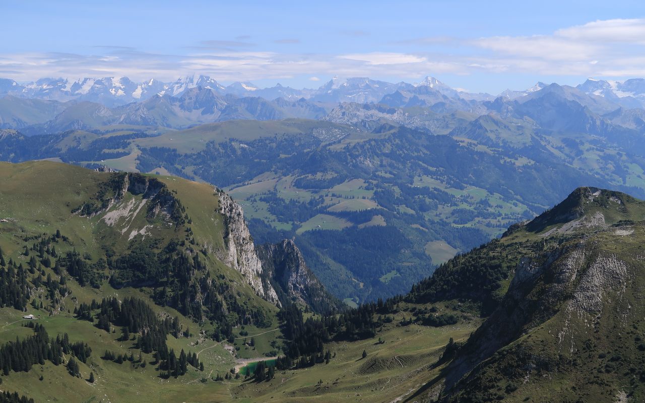
Le Moléson and La Berra, Vanil Noir and Kaiseregg: these are the summits that every mountain hiker of Fribourg should have climbed in his life.
Route description
Schwarzsee-Gypsera – 1820 m
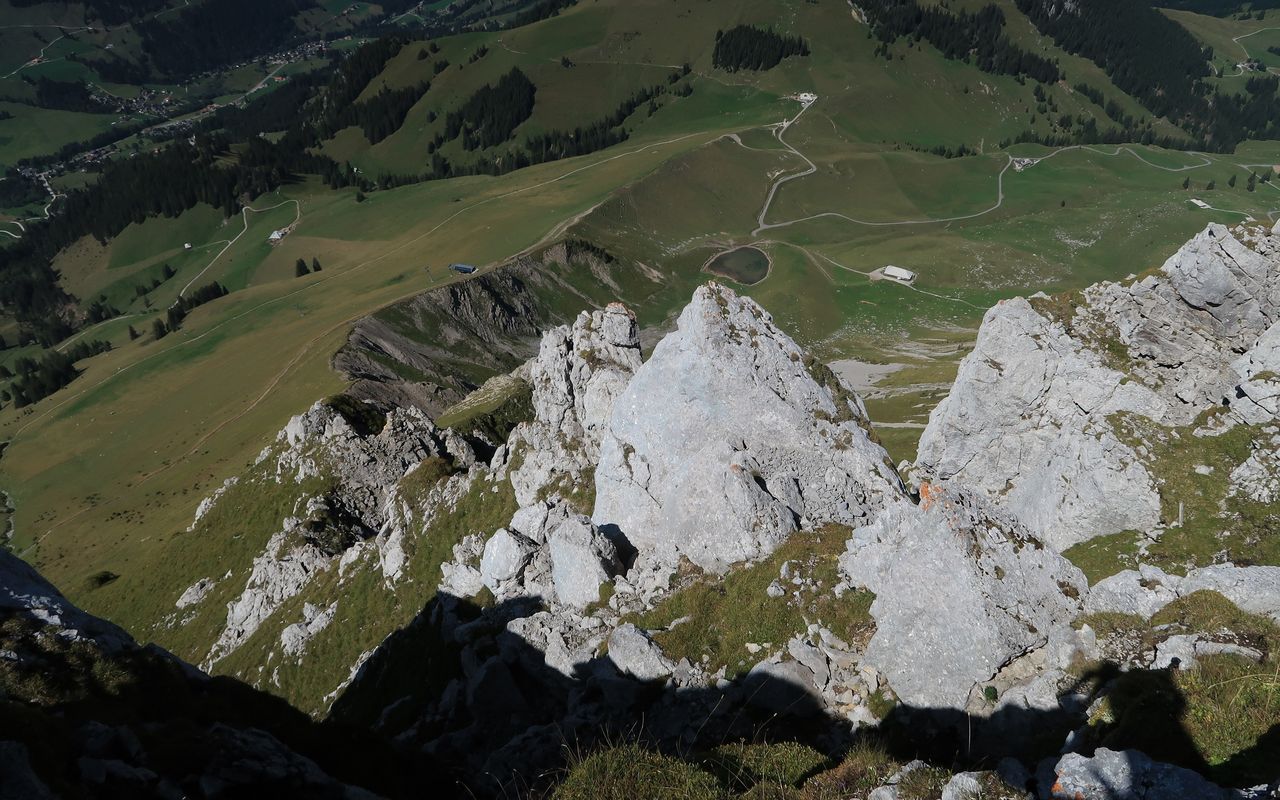
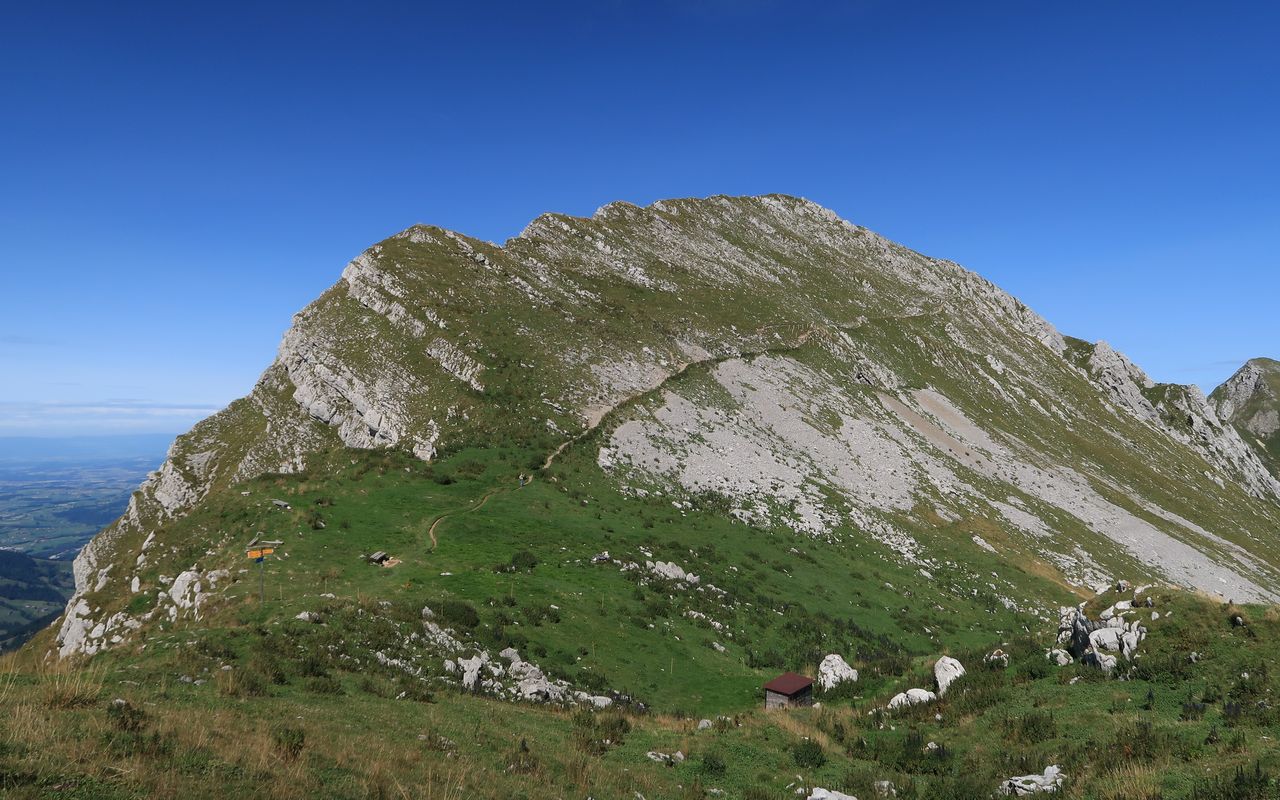
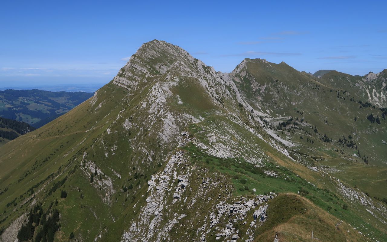
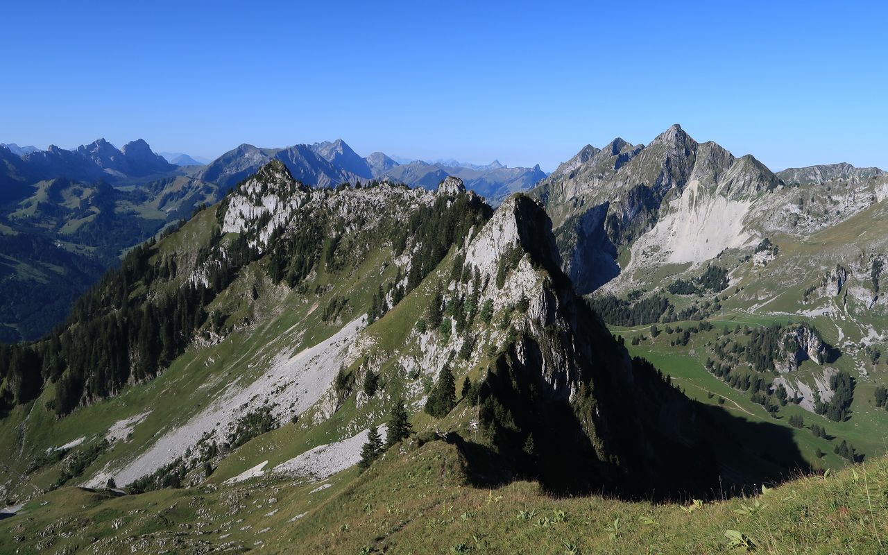
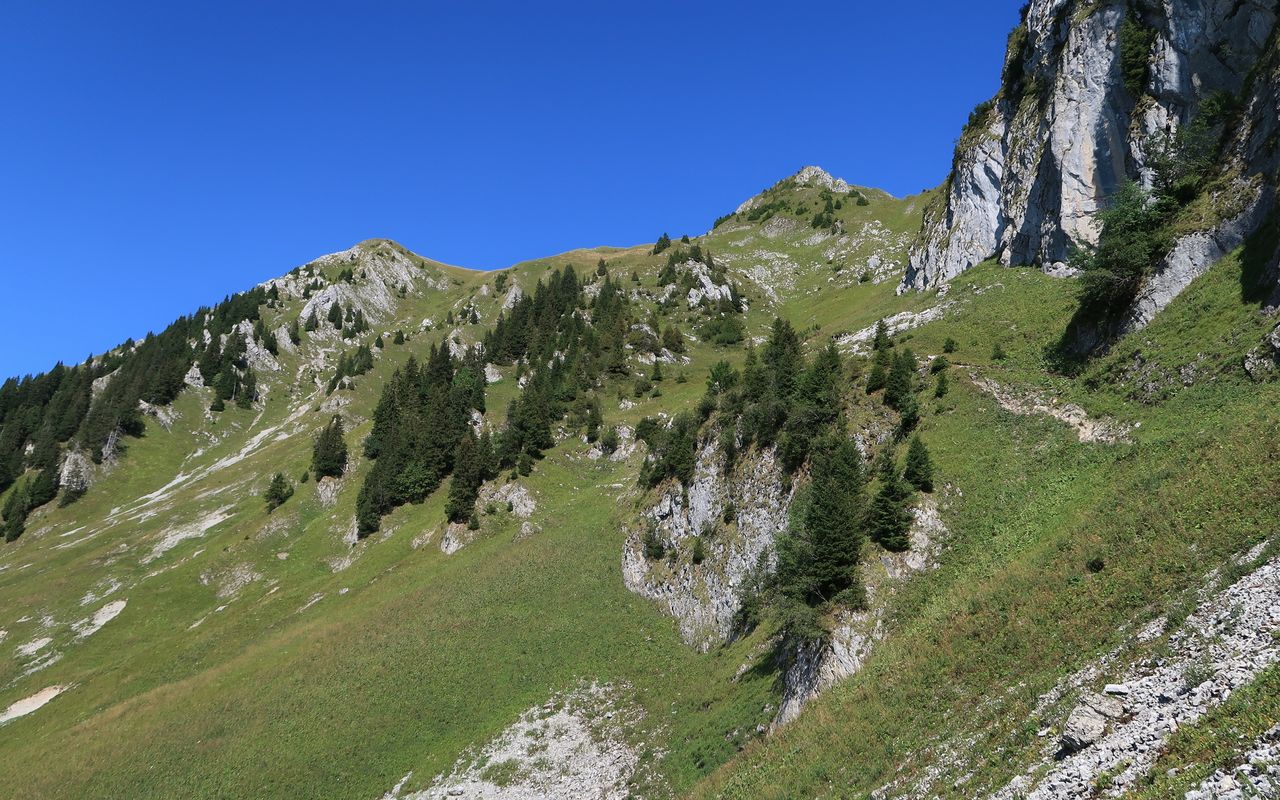
From the bus stop follow the road south of Riggisalpbach uphill and past the church. Shortly afterwards cross the creek. By the second to last house one enters the forest. Ascend the trail on the left bank of the creek until the bifurcation at P. 1294. Take the left trail, which in pastures leads up to a stable and finally to another hiking trail. Continue past the Hürlisboden mountain restaurant to reach the Salzmatt saddle (1635 m). Follow the north ridge of Kaiseregg past the summit station of the chair-lift, until ca. 1820 m, where the hiking trail begins to traverse the north-west face.
1820 m – Kaiseregg
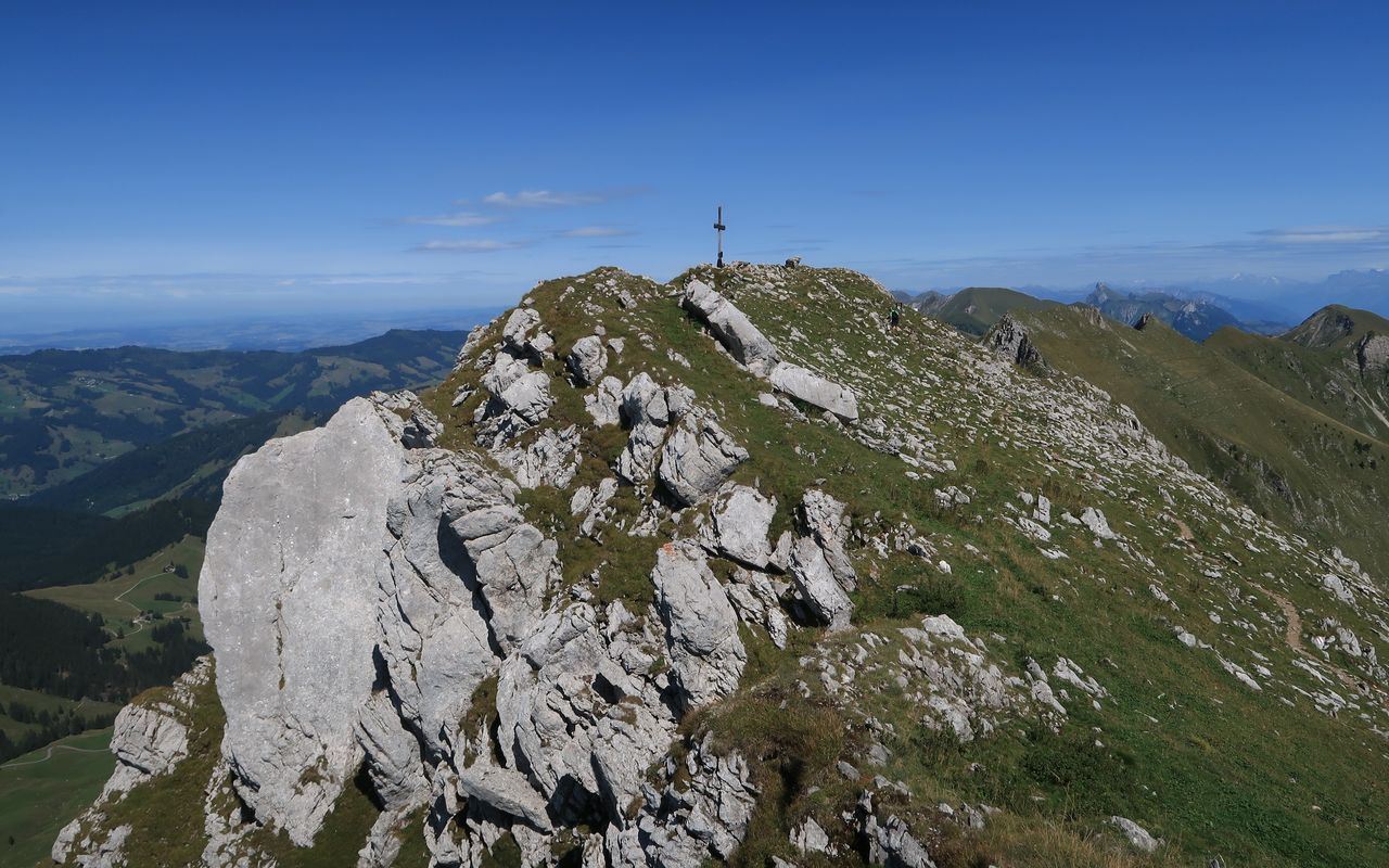
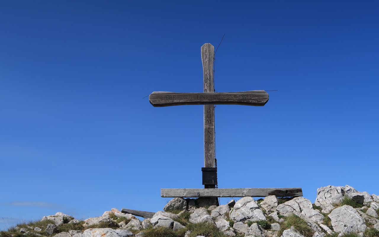
Leave the trail to follow a faint path on the north ridge as far as the escarpment below the summit. It can be negotiated in a couloir on the right-hand side. A few steps bring you up to the summit cross, summit book and a bench on Kaiseregg (2185 m).
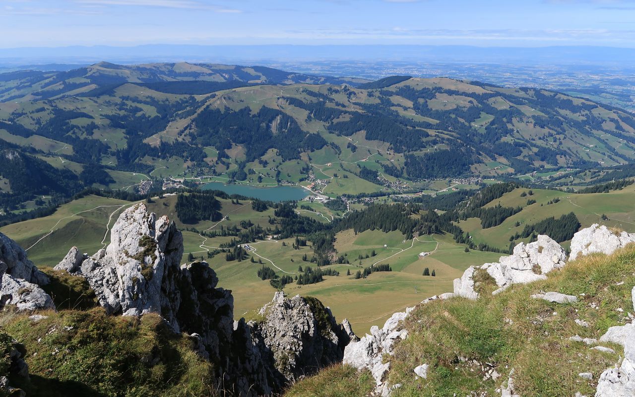
Kaiseregg – Golmly – Euschelspass – Stierenberg – Unter Bödeli – Schwarzsee Bad
From Kaisereggpass follow the white-blue-white path via Teuschlismad (2094 m) until Golmly-Pass (1913 m). From there descend along Euschselsflue to Obere Euschels (1550 m) below Euschelspass (1567 m). You can follow the road until Unter Bödeli (1240 m). However, from Untere Euschels you can leave the road to hike on marked hiking trails via Stierenberg and Wälschi Rippa. From Untere Bödeli on an unmarked trail descend to a pedestrian bridge (1107 m) and again on the marked hiking trail descend to Schwarzsee Bad via Hubel Rippa (1140 m). Alternatively continue to follow the road from Unter Bödeli to Schwarzsee Gypsera. Both end-points offer the opportunity to swim in the lake.
Variant 1: direct ascent from Kaiseregg to Schwarzsee-Gypsera
Follow the hiking trail on the south face to Kaisereggpass (2072 m). Zigzag steeply down the north-west face to reach the ascent route, on which you hike back to Schwarzsee; T2, Kaiseregg – Schwarzsee ca. 2¼ h.
Variant 2: descent from Kaiseregg to Jaun via Golmly
From Kaiseregg you can also descend to Jaun. From Kaisereggpass follow the white-blue-white trail via Teuschlismad (2094 m) to Golmly-Pass (1913 m). Follow a good trail to Unter Chüeboden (1350 m) via Ober and Mittler Chüeboden. Now on a road along the Oberbach go to Jaun-Kappelboden; T3+, Kaiseregg – Jaun ca. 3 h.
Variant 3: descent from Kaiseregg to Boltigen via Walop
You can descend on the Bernese side to take a swim in one of the Walop lakes. From Kaiereggpass a good and marked trail leads down to Walopalp and continues on a steep slope to Chlus (ca. 1170 m). From there follow the road to Schwarzenmatt and then a hiking trail to the Boltigen railway station; T2, Kaiseregg – Boltigen ca. 3 h.
Additional information
- Time
-
Total hiking time 6¼ h.
Schwarzsee – Salzmatt: 1¾ h.
Salzmatt – Kaiseregg: 1½ h.
Kaiseregg – Golmly – Schwarzsee: 3 h.
- Difficulty / Material
-
The direct ascent to Kaiseregg on the north ridge is T4, on variant 1 it is T2. From Kaisereggpass via Golmly to Euschelspass is T3+, the rest T1.
- Waypoints
-
Übergang vom Euschelspass zum Chüebode, zwischen Euschelsflue und Teuschlismad; früher auch Brendelpass genannt.
-
-
Übergang zwischen Schwarzsee und Jaun, zwischen Chörblispitz, Fochsenflue und Chällihorn, Euschelsflue gelegen.
-
-
Jaun (1015 m)
End-point of variant 2
-
-
Boltigen (816 m)
End-point of variant 3
-