![[Translate to English:]](/fileadmin/Der_SAC/Unserer_Partner/CSS_cyan_rgb.svg)
From Capanna Brogoldone to Capanna Cava Capanna Cava 2066 m
-
- Difficulty
- T4
-
- Ascent
- 7:30 h, 1200 m
-
- Descent
- 1040 m
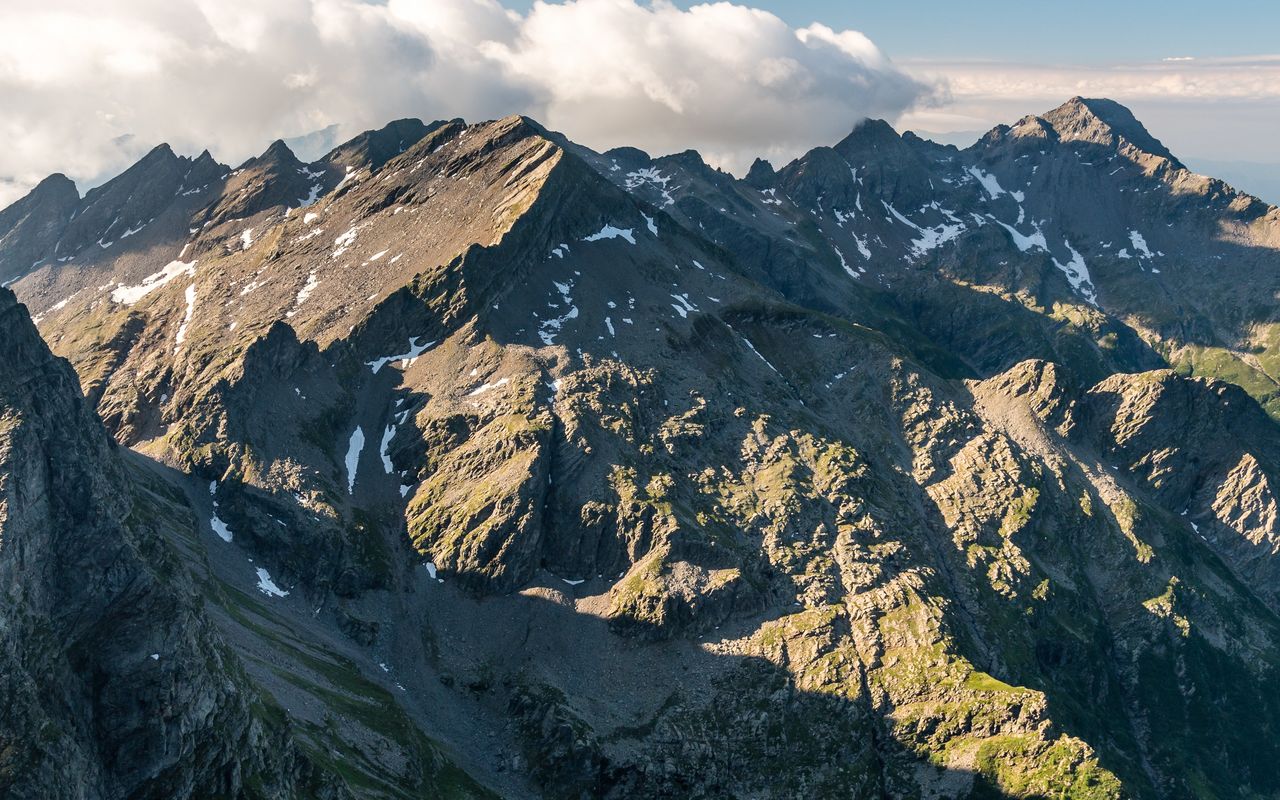
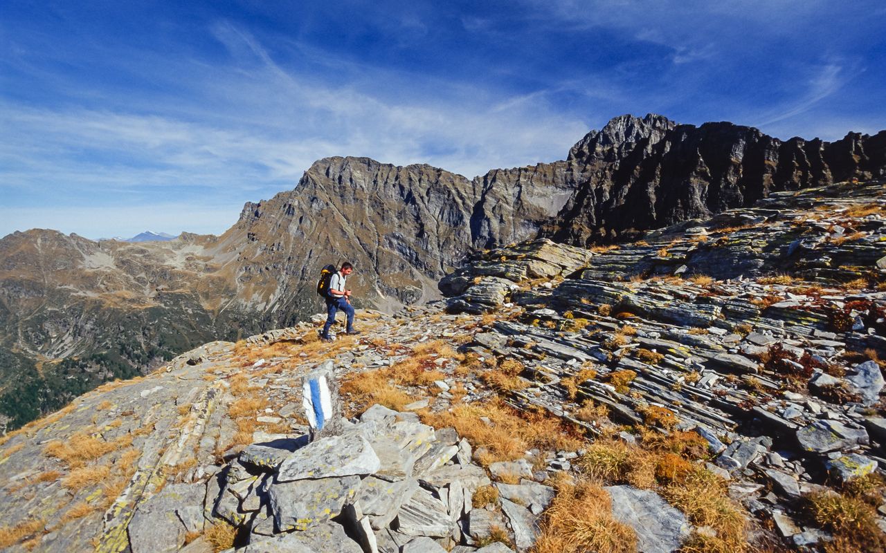
Vast plains and steep faces, white-blue-white
Since the nineties in Ticino numerous challenging routes have been marked allowing less experienced hikers to enjoy the beauty of secluded landscapes. These trails often follow paths which were formerly used by shepherds, alpine dairymen, hunters or smugglers. One of the most beautiful and at the same time most useful of these routes is the one from Capanna Brogoldone to Capanna Cava. It offers hardly any technical difficulties as it is mostly on scree fields and gentle grassy slopes, except for some exposed passages. However, the orientation would be difficult without the white-blue-white markings, especially in bad visibility. Thus today we can enjoy a hiking route without worries, which formerly was avoided as it was considered too complicated.
Route description
Additional information
- Departure point
-
-
- End point
-
-
- Time
-
Capanna Brogoldone–saddle P. 2270 2 h.
Saddle P. 2270–Alpe d'Örz 3 h 15 min.
Alpe d'Örz–Capanna Cava 2 h 15 min.
- Difficulty / Material
-
Presumably the most precarious passage of this tour is the traverse below Piz di Campedell, which should only be risked in dry conditions, and requires sure-footedness and a comfort with heights. Otherwise in this fascinating scree terrain it is primarily the ankles that are tested: the hands are only seldom needed to help with balance.
- Waypoints
-
Wide saddle on the ridge between Piz de Molinera and Pizzo di Claro
-