From the Weissmieshütte or from Hohsaas via the WSW-Ridge | Alpinism | Swiss Alpine Club SAC
Unterstütze den SAC Jetzt spenden

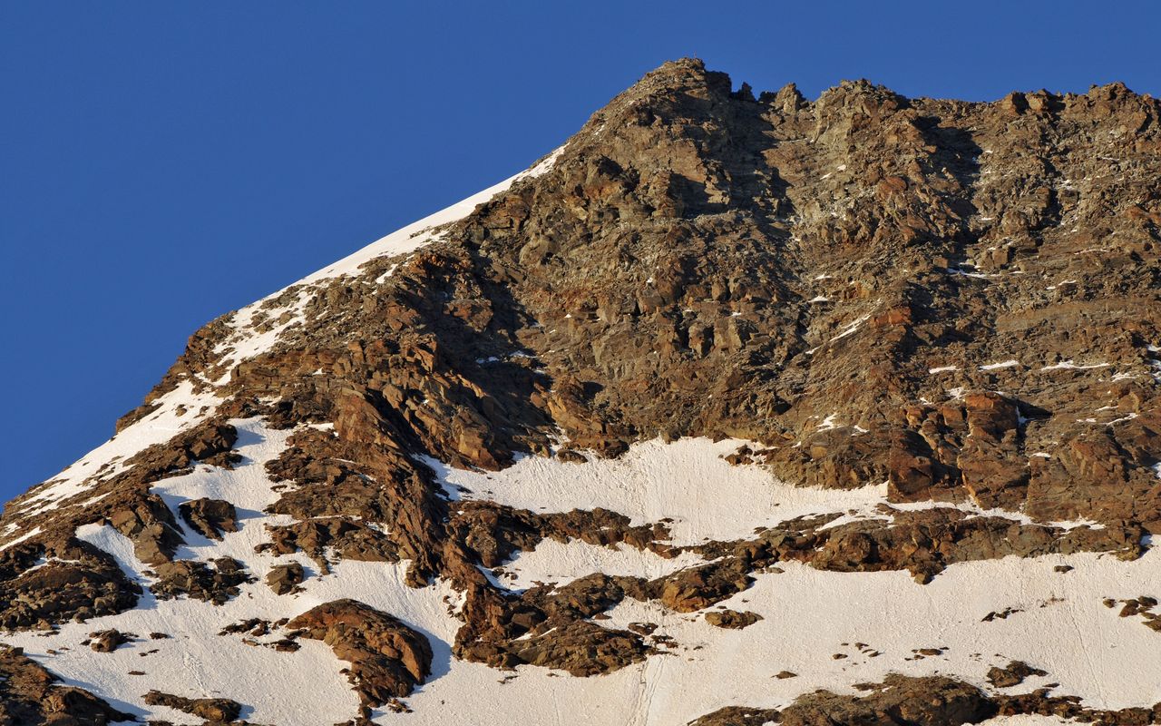
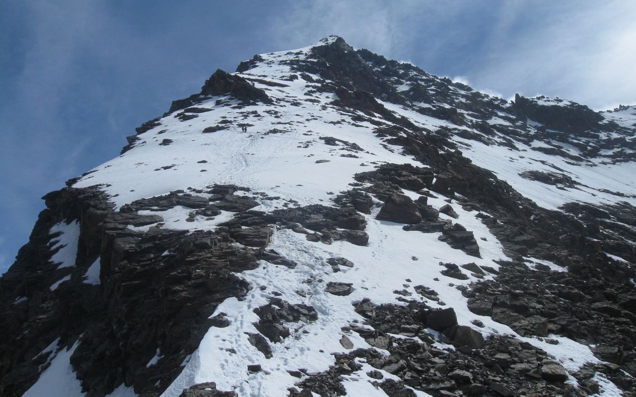
From the Weissmieshütte or from Hohsaas via the WSW-Ridge (Normal route) Lagginhorn 4010 m

  • Difficulty
    PD, 2a
  • Ascent
    4–5 h, 1280 m
  • Descent
    1280 m

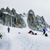
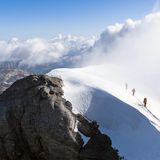
This is the normal route from the Saas Valley. Although the map outlines some of this route as it would a normal footpath, you should NOT underestimate it: the tour is a serious undertaking of alpine character, and people often get rescued! Esp. in descent the upper, often icy, snow flank can be tenuous. Caution and good crampon technique is vital. From the starting points you reach the basin of the Lagginhorn glacier and cross this to the WSW ridge. However, this route is increasingly exposed to rockfall in the area of the Laggingletscher glacier, which is why the entire WSW ridge is more frequently used today.

Route description

Lower WSW-Ridge
From the Weissmieshütte it's possible to climb the entire WSW ridge to P. 3538. Especially recommended when the Lagginhorn glacier has no more snow cover: From the Weissmieshütten on a good path towards Fletschhorn. At a cairn near P. 2926 leave the path to the right (west), following tracks (cairns). Along the ridge via P. 3231 and P. 3354 with some easy climbing until shortly before p. 3538, where the variant from the Lagginhorn glacier joins. 2hrs.
Upper WSW-Ridge
Now follow the ridge, avoiding difficulties (including P. 3539) by keeping to the right (south) until you reach a gap further east. Rocky slabs and a long scree slope lead up from here. The firn field to the left is often icy and not recommended. Tedious, but relatively easy climbing leads up through the final, brittle rocks (possible verglas) to the Lagginhorn (4010 m), 3 hrs.
Variante 1: Lagginhorngletscher
This variant used to be the usual route and is increasingly threatened by rockfall and can only be recommended to a limited extent. From Weissmieshütte (2726 m) head north to the little bridge that crosses the Triftbach (stream). Turn right just before the bridge and move northeast beside the stream. Branch off from the prominent zig-zag path, continuing northeast to cross the same stream (higher up) and gain the rounded crest of the Laggingletscher's southern lateral moraine. Follow the path eastwards along the moraine crest, then up through a rocky ridge to meet the Lagginhorngletscher at approx. 3100 m, 1 hour. Now cross the Lagginhorngletscher slightly uphill in a northerly direction, climb on tracks and a ramp through a reddish ledge into a debris basin and finally reach the WSW ridge westwards on a little above P. 3231 at a cairn.
Variant 2: Hohsaas - Laggingletscher
From Hohsaas (3101 m), descend northwards and cross the ski slope to the foot of the Hohlaub glacier. Keeping height here, cross the scree and slabs immediately below the Hohlaub Glacier at about 3100 m (pay attention to possible ice formations in the early hours). Now cross the ridge which descends from the south summit of the Lagginhorn: traverse along a striking band and descend leftwards (following faint tracks and cairns. Viewed from Hohsaas it is the lower of two bands). After the traverse, you must climb about up 20 m to another band, which you follow also follow left into some brittle rocks and onto the ridge P. 3123 (large cairn). Contour round onto the Lagginhorn Glacier, 1 hr.
Descent
Follow the route of ascent (2½ hrs).

Additional information

Departure point
Difficulty

Danger of rockfall on the Lagginhorngletscher (pass as quickly as possible) and the summit ridge, especially with little snow and/or many mountaineers on the ridge! The route over the entire WSW ridge bypasses the endangered areas on the Lagginhorngletscher.

Waypoints

Hohsaas gondola summit station (3101 m)

History

E.L. Ames plus three other Englishmen, with the mountain guides Pastor Johann Josef Imseng, Franz Andenmatten and three other Saas guides, 26th August 1856. That is rare, six anonymous climbers in the same party!

Author

Bernhard Rudolf Banzhaf

Bernhard Rudolf Banzhaf has climbed countless peaks at home and abroad, including all 4000ers of the Valais Alps. He has been organizing trekking trips in the Himalayas and in Europe since the early 1980s. He was a member of the SAC's central committee between 1995 and 2003.

Our recommendations

Walliser Alpen

Alpine Touren

Selection guide

Walliser Alpen

Price CHF 49.00
Member price CHF 39.00
Tourenportal/App-Abo Jahreszahlung

Subscription to the SAC Route Portal

Tourenportal/App-Abo Jahreszahlung

Price CHF 49.00
SAC-Hydro Flask

Equipment

SAC-Hydro Flask

Price CHF 39.00
Member price CHF 35.00
SAC-Taschenmesser

Equipment

SAC-Taschenmesser

Price CHF 54.00
Member price CHF 49.00
SAC-Brändi Dog XS

Equipment

SAC-Brändi Dog XS

Price CHF 66.00
Member price CHF 60.00
Bergsport Sommer

Ausbildung

Bergsport Sommer

Price CHF 59.00
Member price CHF 49.00
Ausbildung Bergwandern / Alpinwandern

Ausbildung

Ausbildung Bergwandern / Alpinwandern

Price CHF 59.00
Member price CHF 49.00
feedback