

![[Translate to English:]](/fileadmin/Der_SAC/Unserer_Partner/CSS_cyan_rgb.svg)
From East via the Rohrfirn (glacier) (Normal route) Rohrspitzli 3219 m
-
- Difficulty
- PD, 2b
-
- Ascent
- 3:30–4 h, 1115 m
-
- Descent
- 2:30–3 h, 1115 m
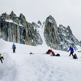
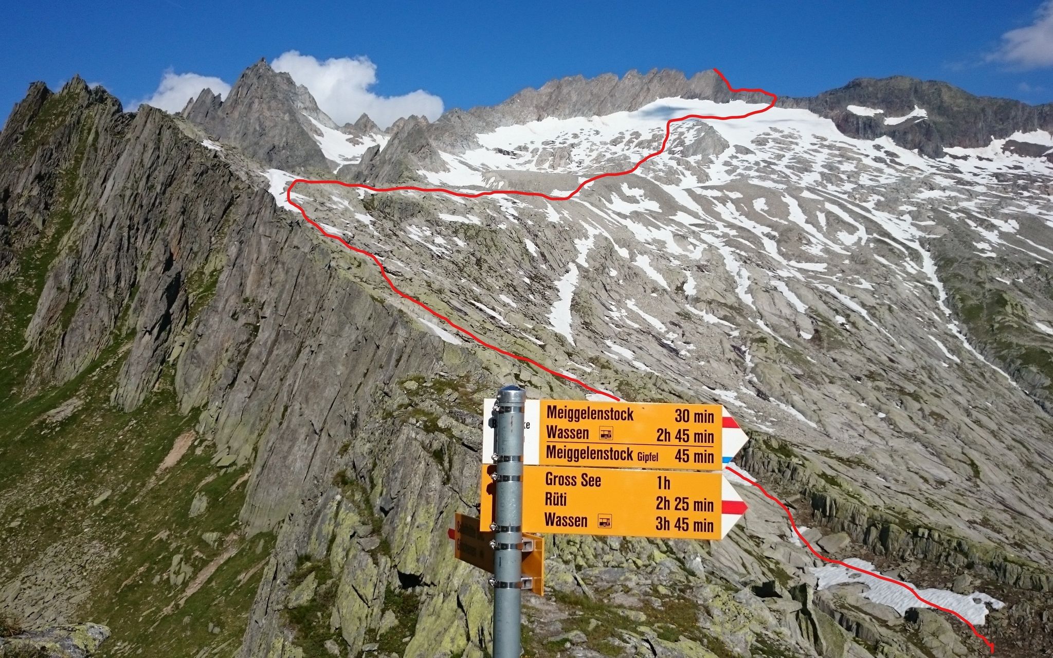
An interesting tour, offering variety with a section of alpine hiking, a short glacier crossing and an easy final climb. In the first section you follow a well-marked path to the Bandlücke (pass). From here the path ends, but the climbing remains easy as you ascend the sad remains of the Rohrfirn glacier. Access the a saddle where a simple blocky ridge leads to the summit. Caution: the passage from the glacier to the ridge is no longer possible in high summer as of July 2023! An alternative is the east ridge to the Spitzli and then the connecting ridge Spitzli - Rohrspitzli, but this is longer and more demanding. The Rohrspitzli was first climbed in 1888 in a bold solo effort by the famous Zurich climber Carl Seelig. Today it is a popular winter destination with good access from the Meiental valley. In summer however the summit is rarely visited, despite being a rewarding tour with great views into the Urner Reuss valley.


Route description
Additional information
- Departure and arrival point
-
-
- Difficulty
-
The passage from the glacier to the ridge is no longer possible in high summer as of July 2023!
- Waypoints
-
Übergang von der Salbithütte zum weitläufigen Kessel des Rohr. Eine sehr lohnende Alpinwanderung führt von der Bandlücke zu den beiden Rohrseen (Gross See und Chli See) und weiter nach Wassen.
-
- History
-
Carl Seelig, 19. August 1888
- Neighbor summit
-
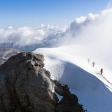
From the Bandlücke easy climbing leads eastwards to the summit and its fantastic view into the Upper Reuss Valley. Alternatively, the blue-white marked path via slabs can be used, but this gives extra descent and re-ascent.
-


