![[Translate to English:]](/fileadmin/Der_SAC/Unserer_Partner/CSS_cyan_rgb.svg)
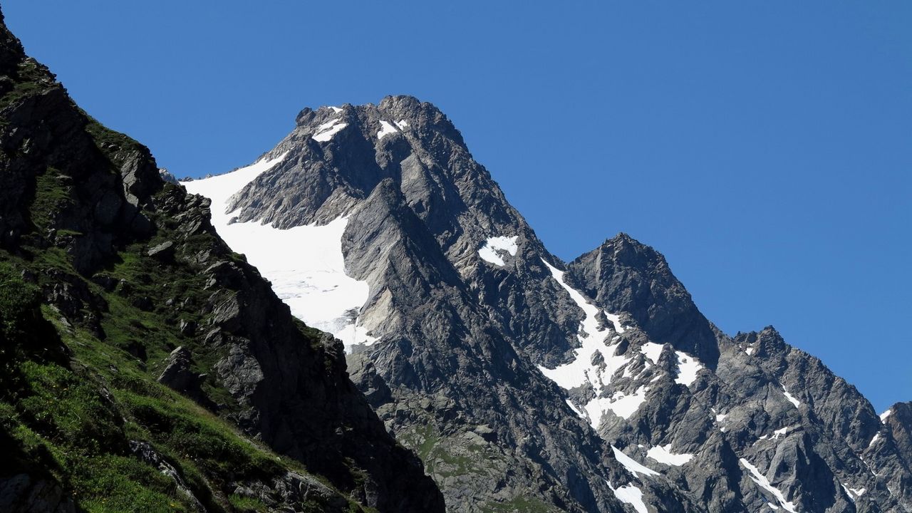
via the South East Ridge (Normal route) Hangendgletscherhorn 3291 m
-
- Difficulty
- PD, 2a
-
- Ascent
- 3:15–4 h, 1090 m
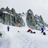
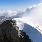
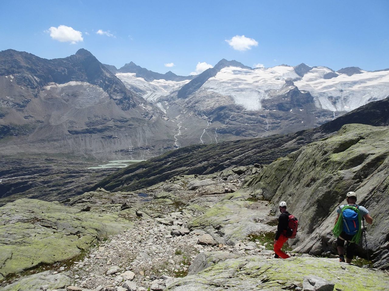
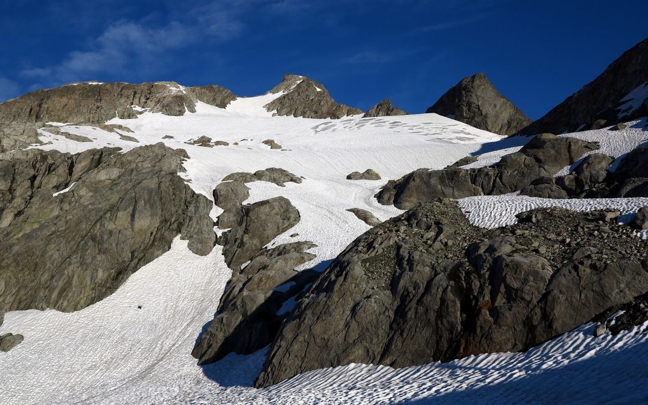
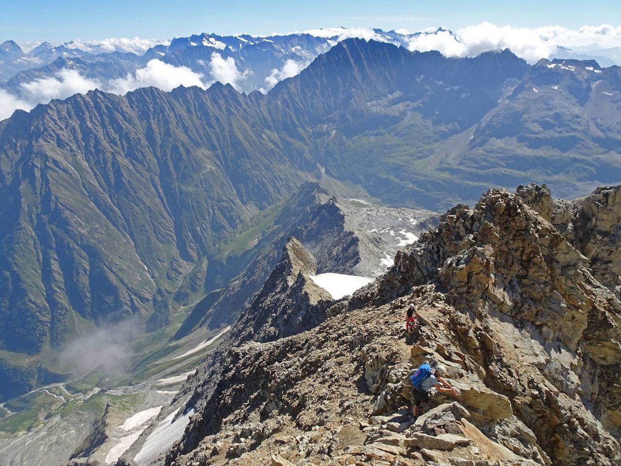
The Hangendgletscherhorn (hanging-glacier-peak) is the local mountain of the Gaulihütte and is visited quite frequently. Although at 3300m it is not one of the highest peaks in the area, the Hangendgletscherhorn is a rewarding lookout piont. Particularly impressive is the view down the north side into Urbachtal. In addition to the normal route described here, the route over the Chammligrat offers a slightly harder tour (WS+), but its length should not be underestimated.


Route description
Additional information
- Departure point
-
-
- Difficulty
-
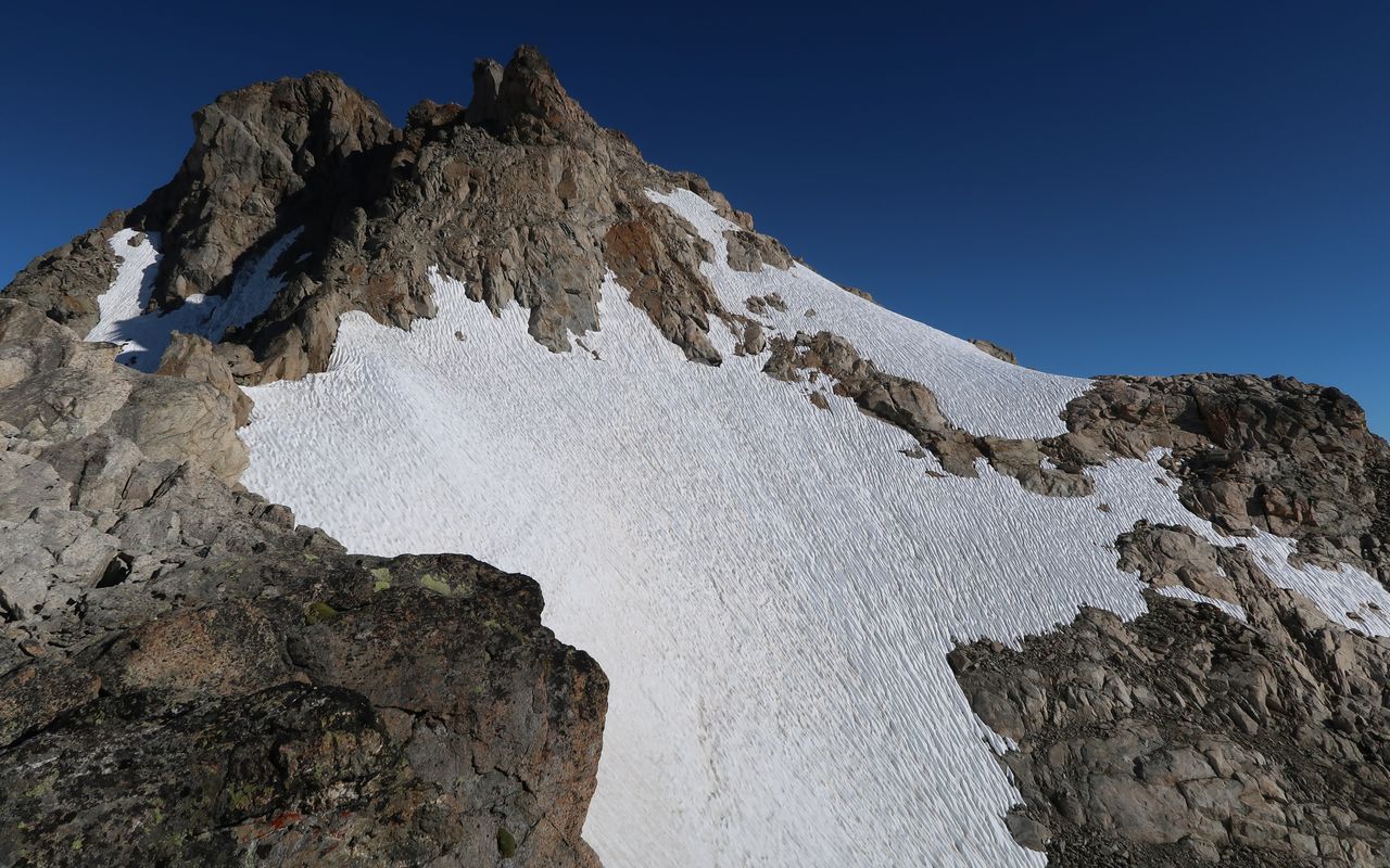
The firn slopes southeast below the summit often show bare ice and danger of falling rocks in late summer, usually from August onwards, and the Bergschrund can also make this relatively easy and safe tour more challenging. In this case, keep as far to the right (north) as possible on the glacier slabs and scree in the sense of the ascent.
- History
-
Christoph Aebi and Rudolf Gerwer with Peter Michel and Peter Inäbnit, 15. August 1863.